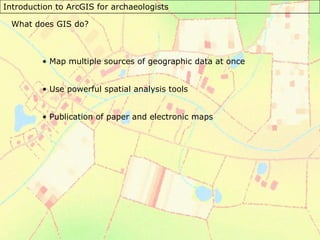
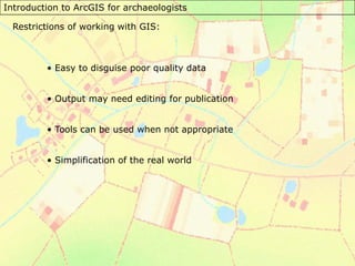
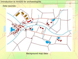
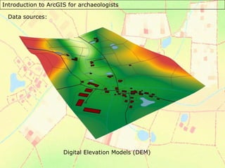
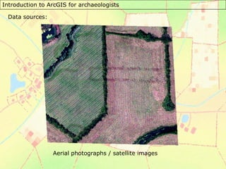
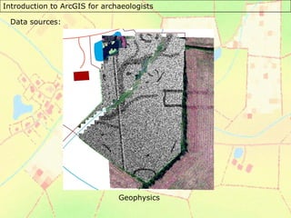
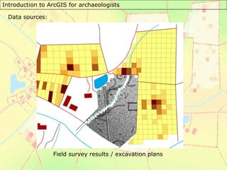
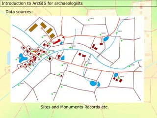
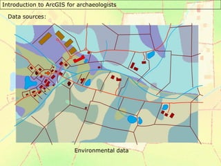
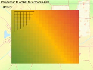
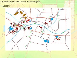
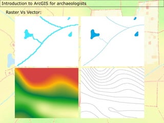
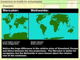
This document introduces GIS for archaeologists, noting that it allows mapping of multiple data sources, powerful spatial analysis, and map publication. While GIS can disguise poor data and oversimplify reality, it utilizes background maps, digital elevation models, aerial/satellite images, geophysics surveys, field/excavation data, and environmental records. The course discusses raster vs. vector data and projections, and was created by Dr. Chris Green at University of Leicester for archaeologists to learn ArcGIS.