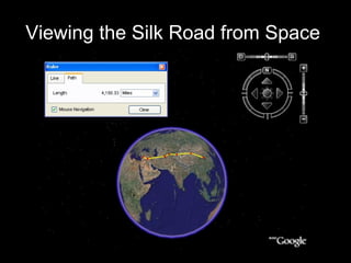
This slideshow provides illustrations and photographs from Google Earth to depict the geographic features travelers would have encountered along the Silk Road trade route from China to the Mediterranean. It guides the viewer along one common route, starting in Beijing and traveling west through Xi'an, Dunhuang, Kashgar, Merv, and finally ending in Antioch. Along the way it highlights the major physical obstacles traders faced, such as crossing the Taklamakan Desert, Tien Shan mountain range, Pamir Mountains, and Bactrian Desert over the course of the over 3,000 mile long journey.