
Recommended
More Related Content
Viewers also liked
Viewers also liked (18)
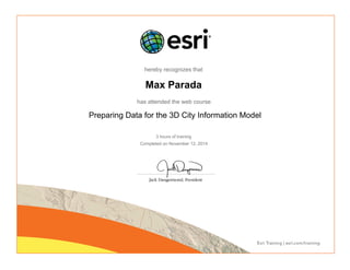
Preparing Data for the 3D City Information Model
- 1. hereby recognizes that Max Parada has attended the web course Preparing Data for the 3D City Information Model 3 hours of training Completed on November 12, 2014