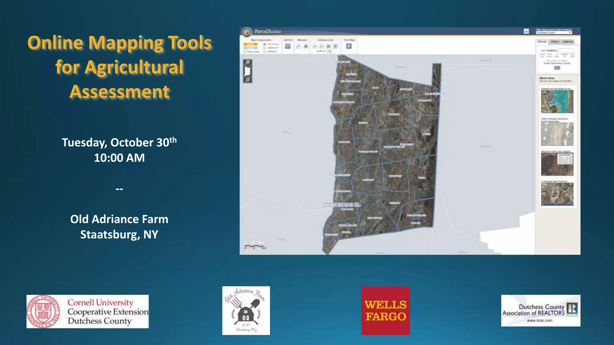
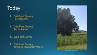
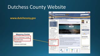
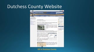
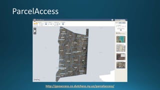
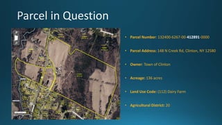
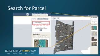
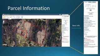
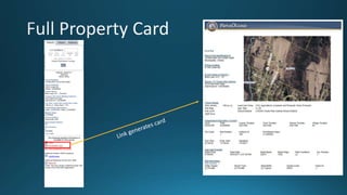
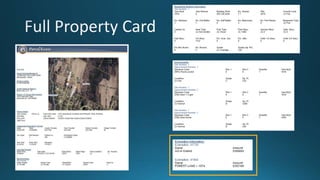
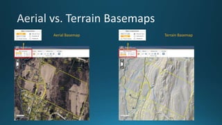
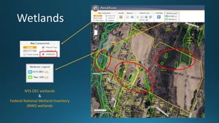
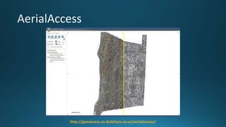
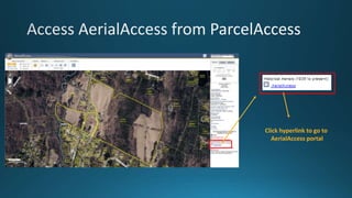
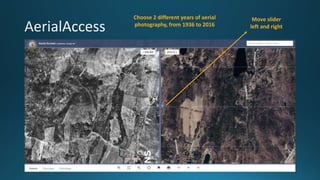
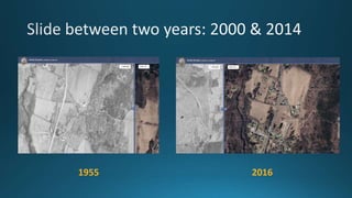
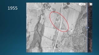
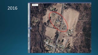
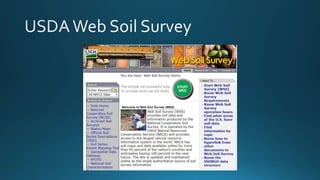
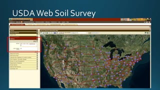
The document summarizes online mapping tools that can be used for agricultural assessment in Dutchess County, New York. It describes Dutchess County's ParcelAccess and AerialAccess tools, the Web Soil Survey, and the Dutchess County Town Agricultural Profiles. The event will demonstrate how to use these tools to find information on parcel ownership, land use, aerial photography from different years, soil data, wetlands, and agricultural statistics for each town. Contact information is provided for the presenter.