Download to read offline

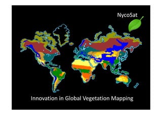
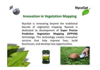
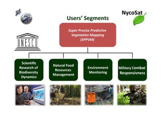
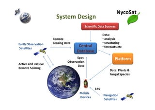
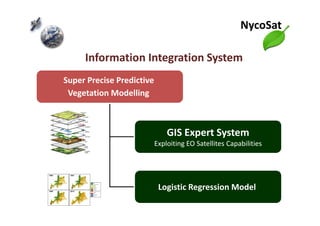
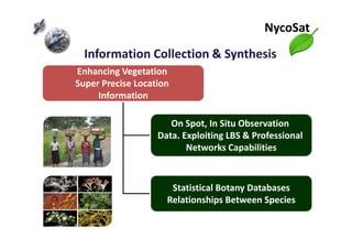

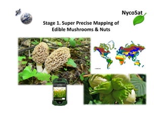


NycoSat is developing technology called Super Precise Predictive Vegetation Mapping (SPPVM) that uses satellites and remote sensing to map plants and fungi worldwide. SPPVM creates predictive models and forecasts of vegetation using satellite data, ground observations, and statistical databases. NycoSat's goal is to improve global vegetation mapping capabilities and enable applications like natural food resource management, environmental monitoring, and scientific biodiversity research. NycoSat invites partners from various industries to collaborate on developing and applying super precise vegetation mapping technologies.


![Getting Started with Apache Spark: Big Data Made Simple [Free Meetup]](https://cdn.slidesharecdn.com/ss_thumbnails/apachesparkgettingstarted-260203175547-8361bcc3-thumbnail.jpg?width=640&height=640&fit=bounds)


