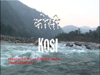
Kosi the sorrow of bihar
•Download as PPTX, PDF•
0 likes•73 views

brief introduction about kosi and their flood charecteristics

Recommended
More Related Content
What's hot
What's hot (20)
Similar to Kosi the sorrow of bihar
Similar to Kosi the sorrow of bihar (20)
Recently uploaded
Recently uploaded (20)
Kosi the sorrow of bihar
- 2. Starts from northern slopes of Himalayas inTibet, southern slopes in Nepal Crosses bihar from seven districts and meet ganga in kursela in katihar district
- 3. This river also called sapta kosi for its seven upper tributaries these are following the Sun Koshi, the Indravati River, the Bhote Koshi, the Dudh Koshi, Arun River, Barun River, and Tamur River.
- 5. Tamur River with an area of 6,053 km2 (2,337 sq mi) in eastern Nepal.(37%) Arun River with an area of 33,500 km2 (12,900 sq mi), most of which is in Tibet(19%) Sun Koshi with an area of 4,285 km2 (1,654 sq mi) in Nepal and its northern tributaries Dudh Koshi, Likhu Khola, Tama Koshi, Bhote Koshi and Indravati.(44%)
- 8. Between sunsari and saptari districts Constructed in 1958-1962 56 gates Eastern embankment Western embankment
- 9. Problem of flood Problem of river shifting Problem of heavy sediment load Problem of water logging and drainage congestion.
- 12. The Kosi’s alluvial fan has fertile soil and abundant groundwater. The agricultural land in these areas is in great demand. Too high population density
- 14. Kosi River is notorious for the meandering behaviour of its east-to-west course. It has a very dynamic regime; very high sediment load and frequent “avulasive shifts”. Between 1736 and 1953 the river moved through a distance of about 112 Km. westward. shifted by 20 kms to the west in the course of single year.
- 16. the bed slope of the river becomes as flat as 0.4 metre/km to 0.2 m per km. high sediment yield of 0.43 million tonnes/year/km2. The average annual sediment load of the Kosi has been assessed at 95 million cu.meter.
- 17. in the process of shifting from east to west, has left large tracts of low land and undulating sandy tracts.
- 19. Birpur barrage Jacketing the river with embankments
- 20. Watershed management measures in the upstream catchment. the construction of a large storage dam at Chatra