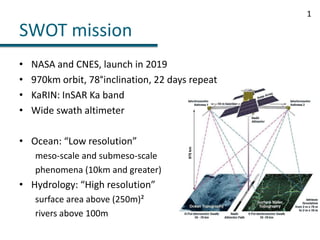
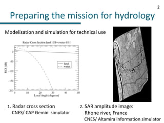
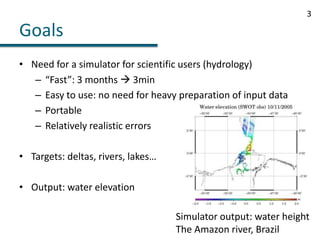
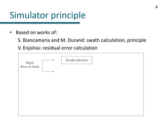
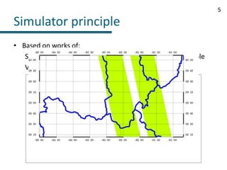
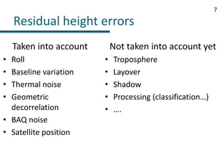
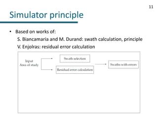
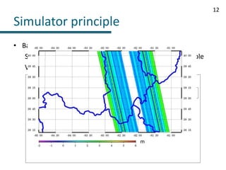
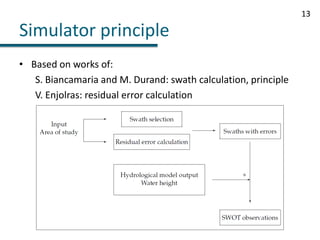
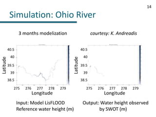
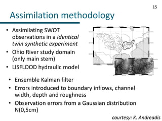
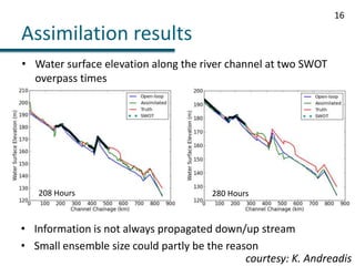
This document discusses modeling and applications of SWOT satellite data. The SWOT mission, launching in 2019, will use Ka-band radar interferometry and a wide swath altimeter to measure ocean and inland water elevations. A simulator was developed to generate realistic SWOT observations for scientific users studying hydrology. The simulator works quickly, is easy to use, and incorporates errors from various sources like thermal noise and baseline variation. The simulator output has been used to assimilate simulated SWOT data into hydraulic models of rivers, like the Ohio River, to estimate water surface elevations. Further improvements to the simulator are still needed to account for additional error sources like layover and atmospheric delays.