Download to read offline
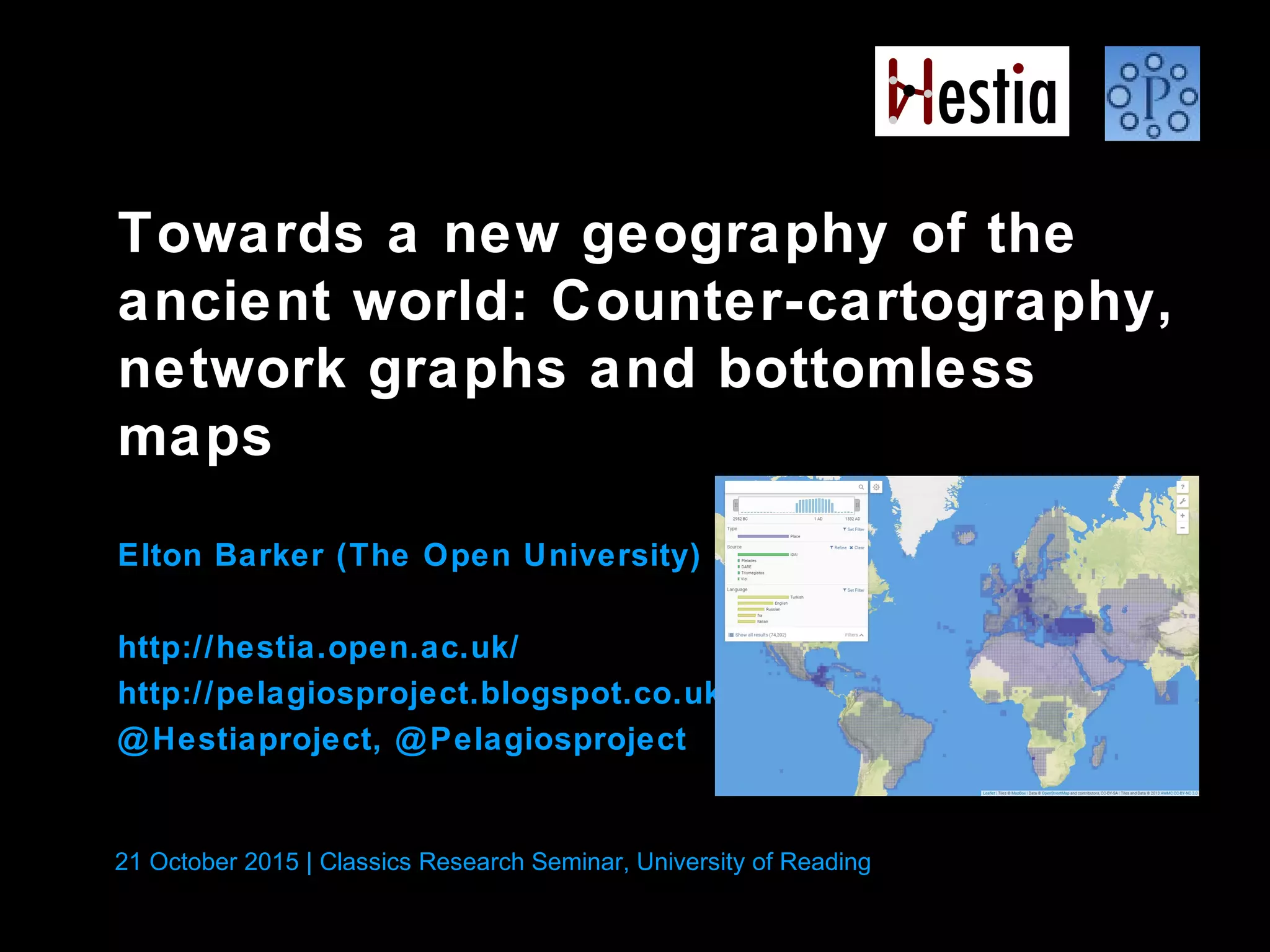
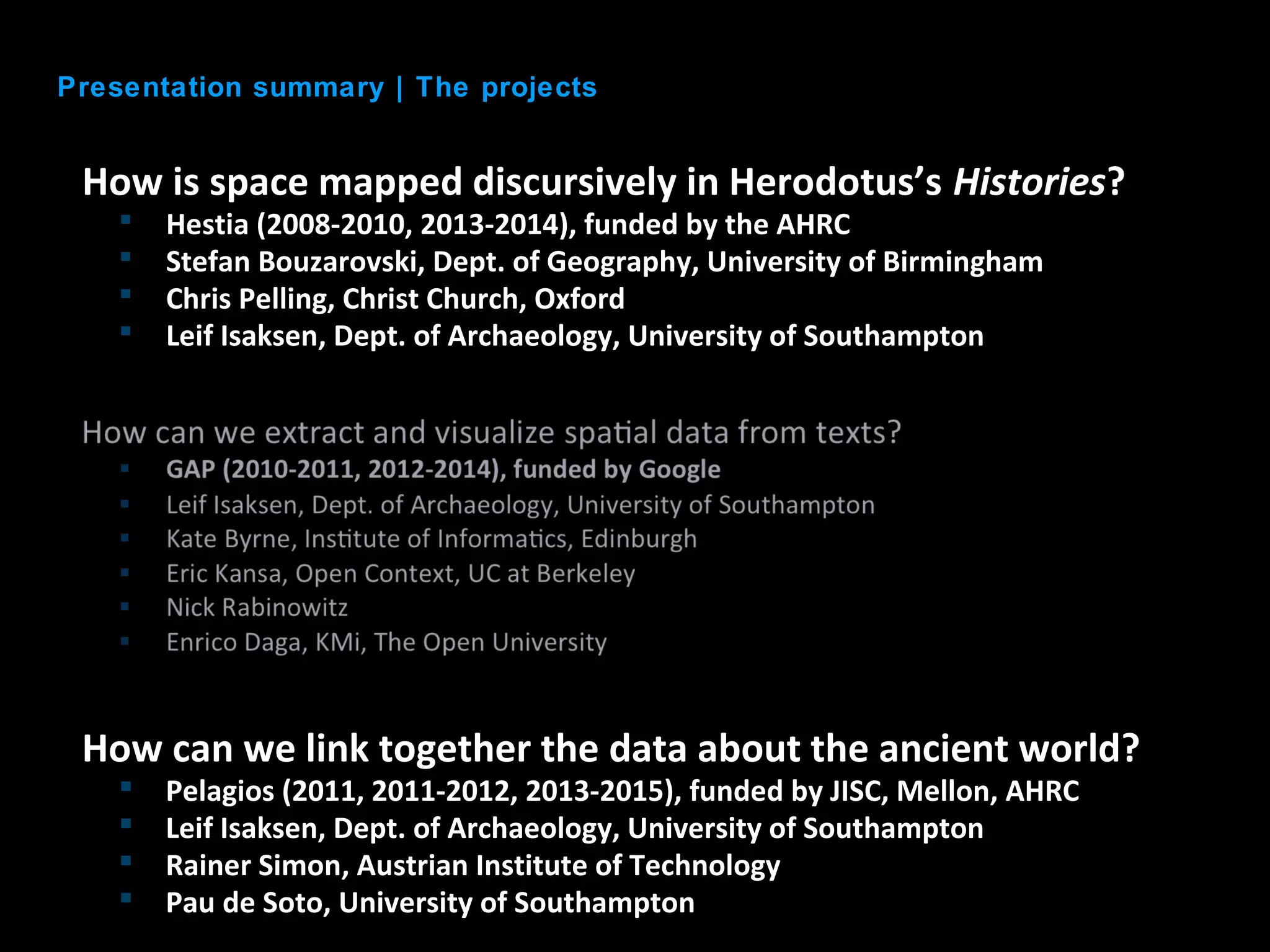

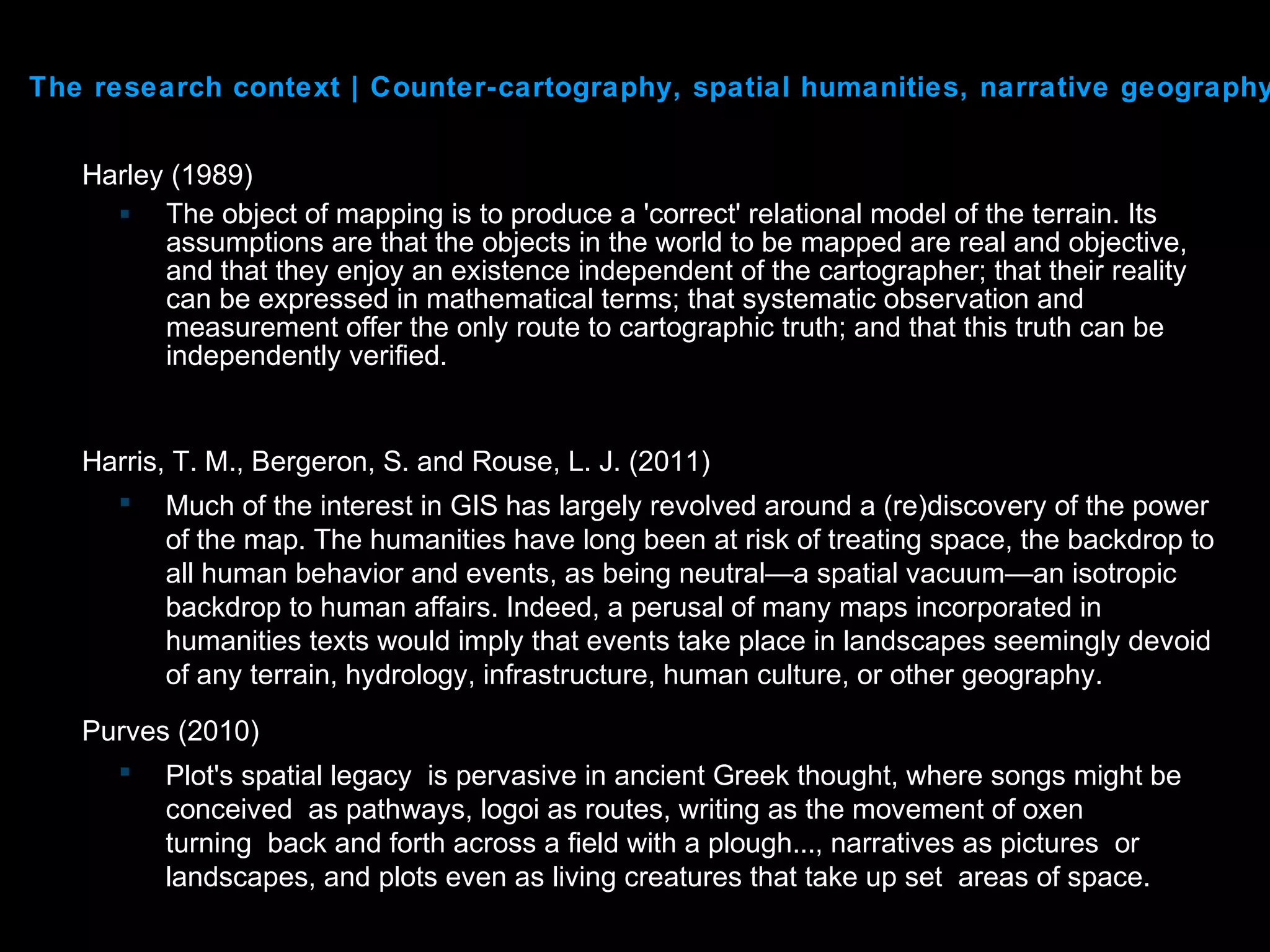
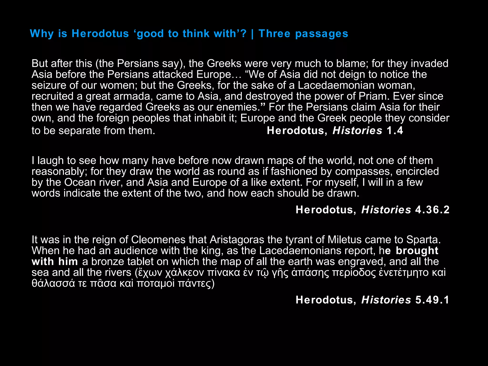
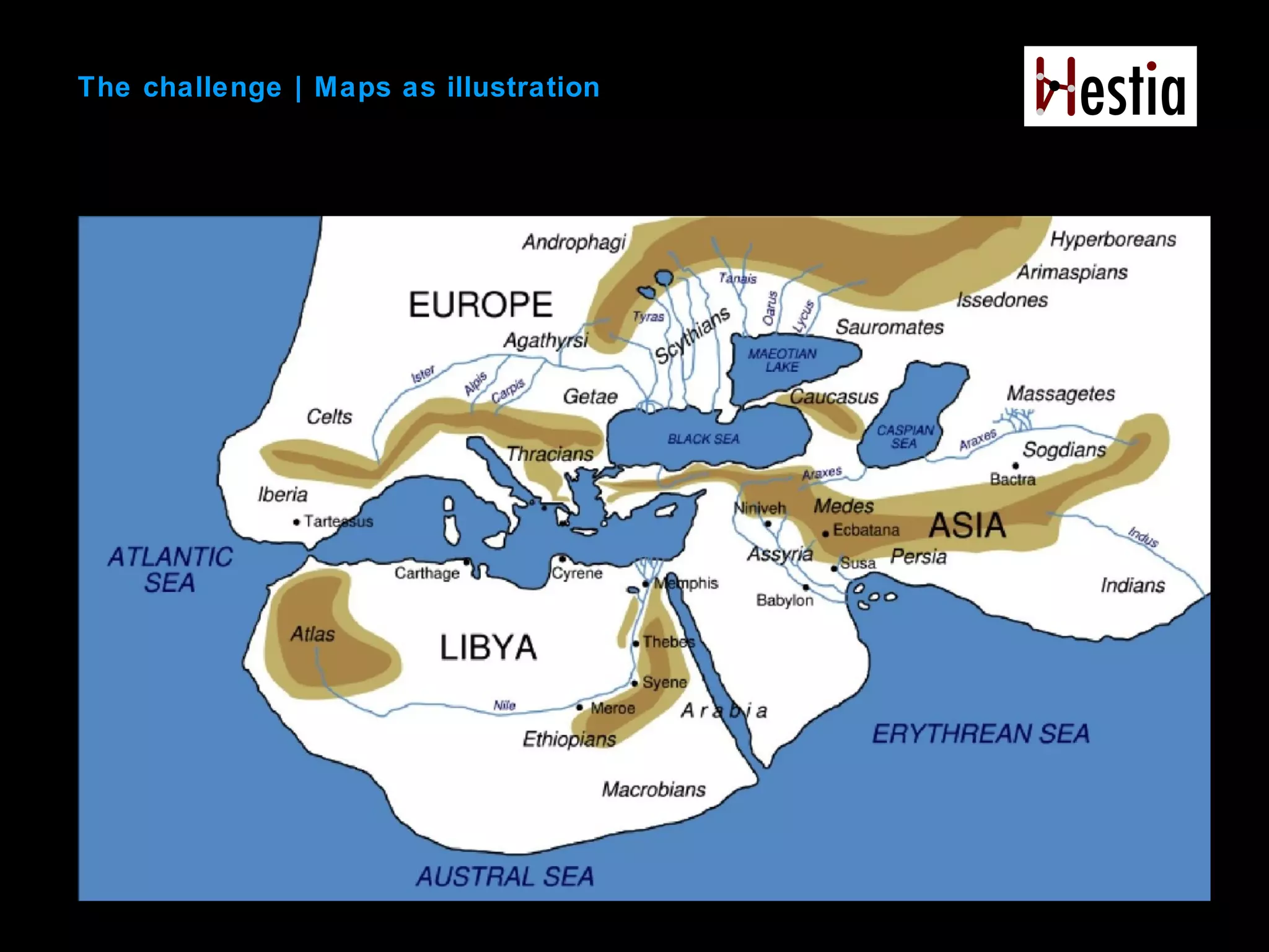


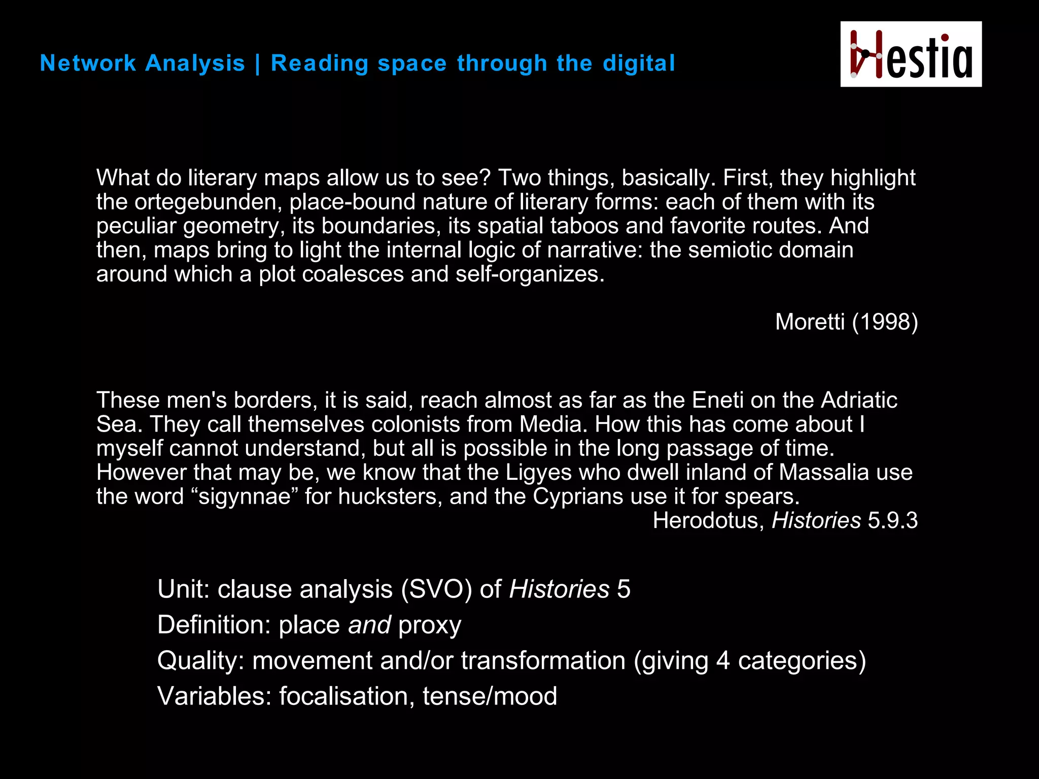


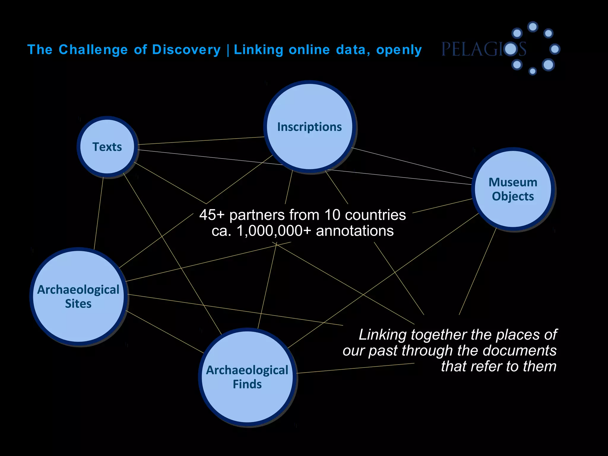
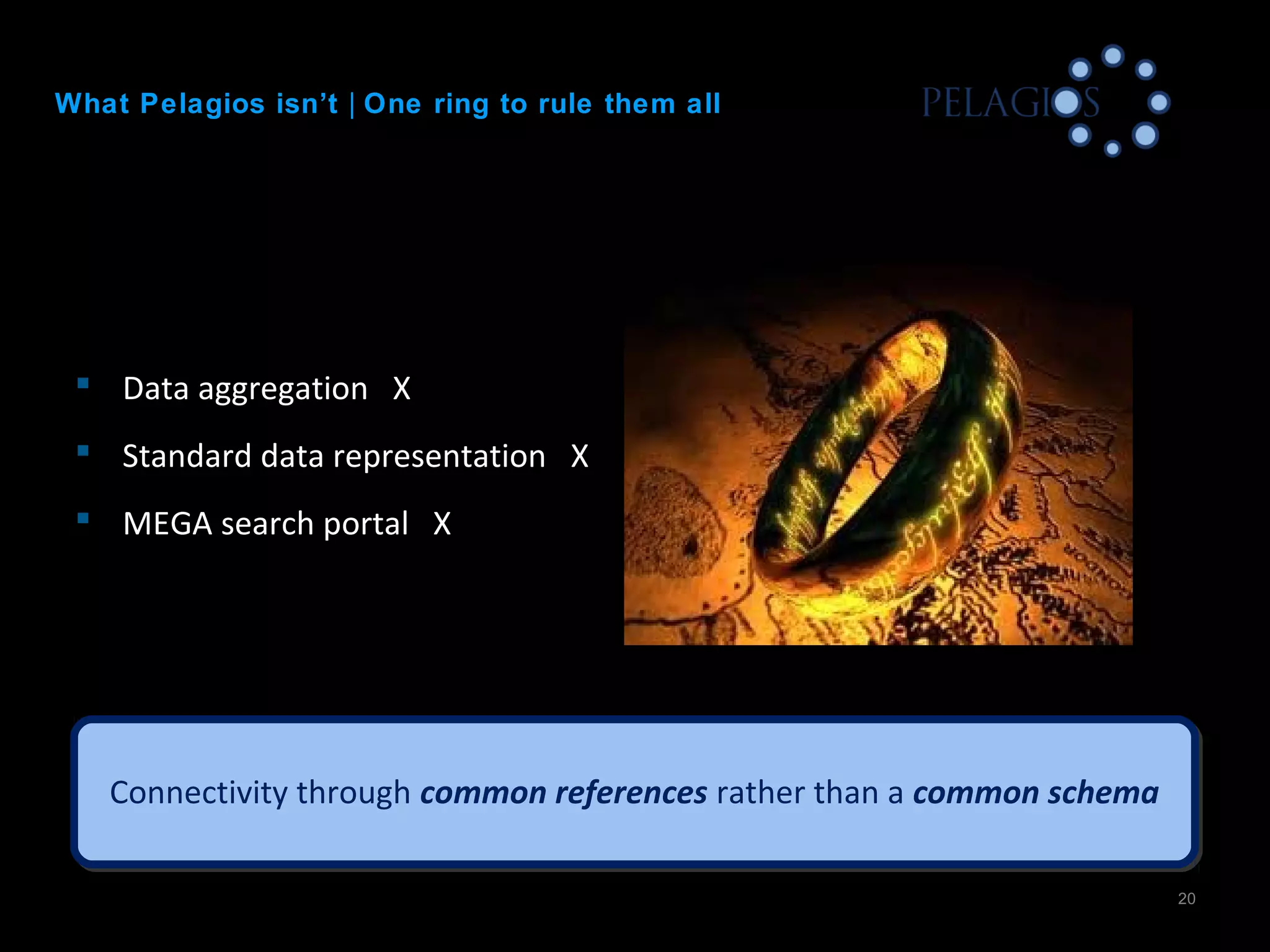


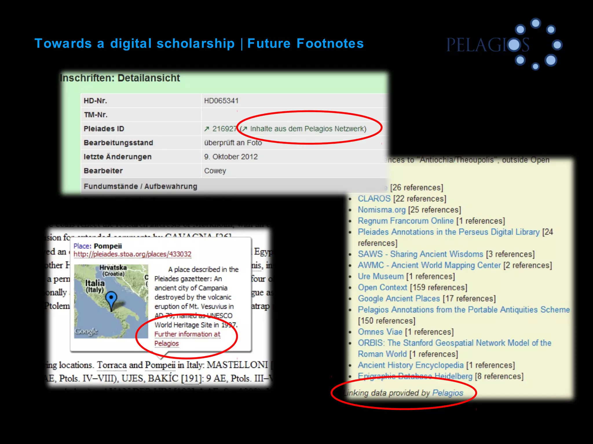
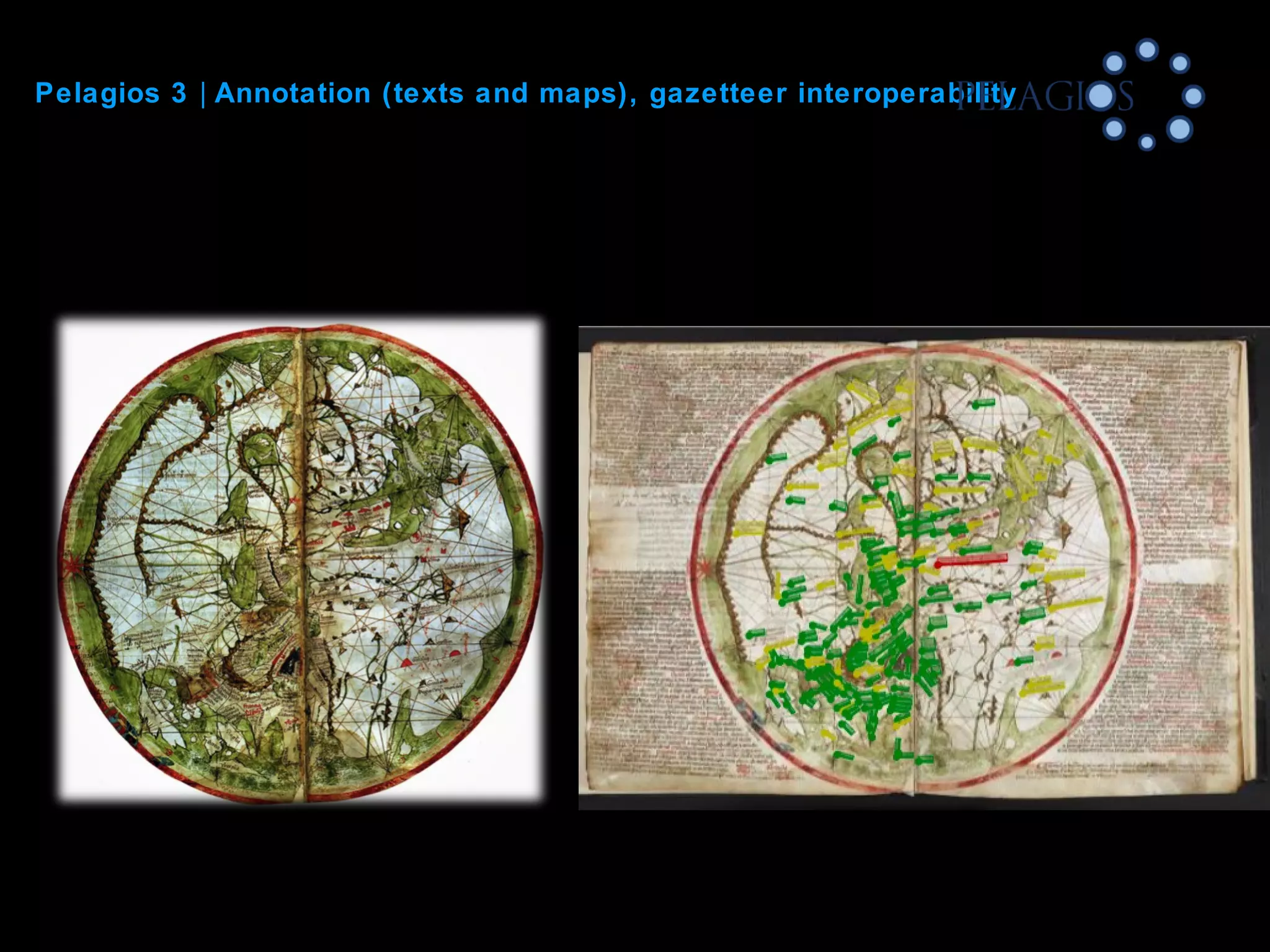

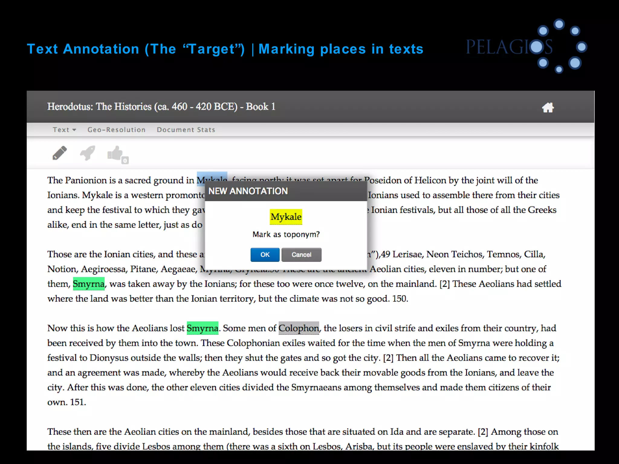

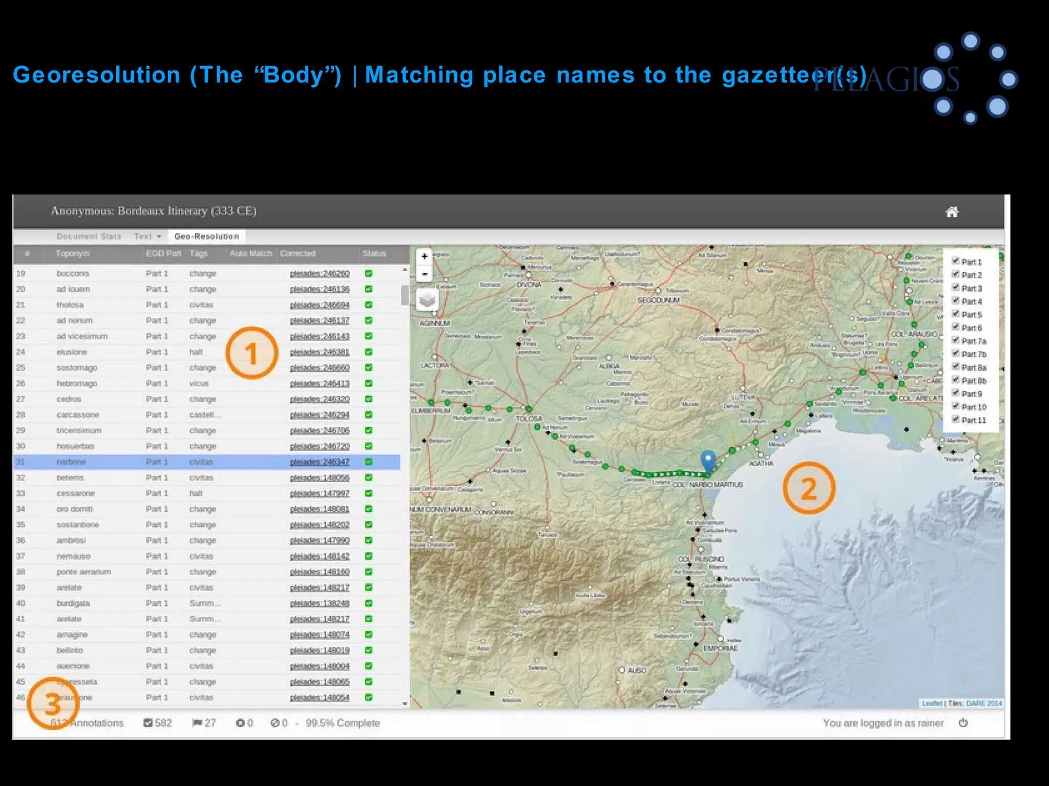
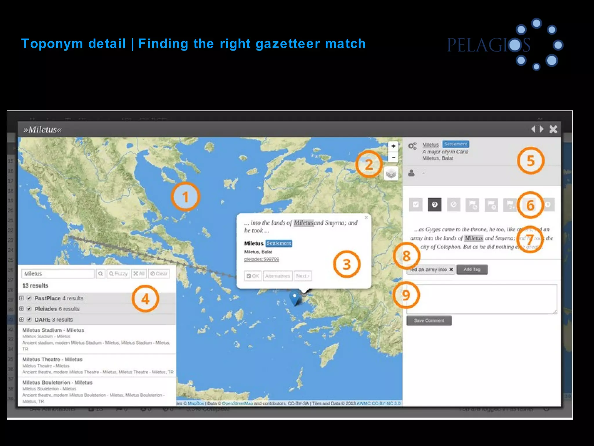

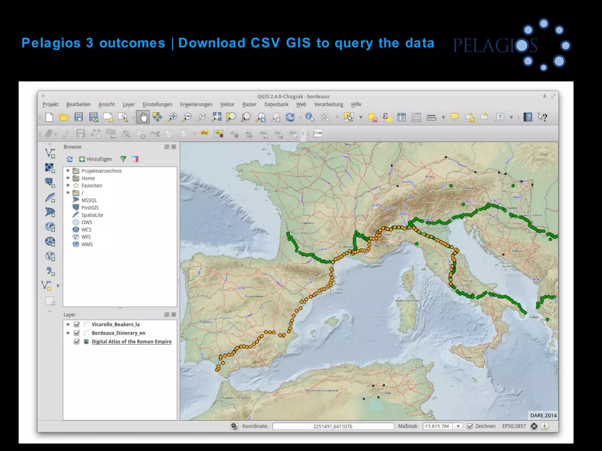
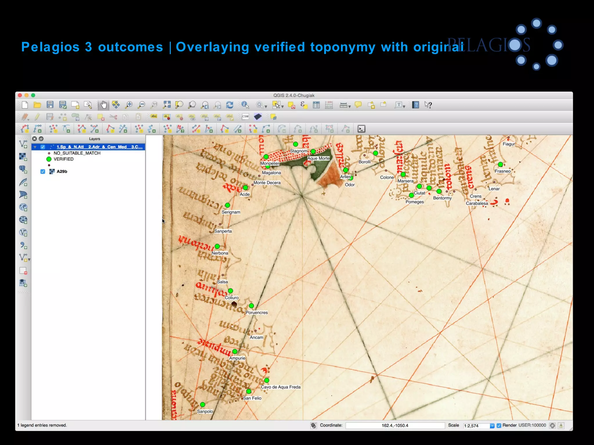


The document discusses innovative methods in mapping the ancient world, focusing on counter-cartography and the use of network graphs. It highlights the significance of Herodotus's Histories in understanding spatial narratives and the challenges in representing complex historical data. The Pelagios project aims to interlink various knowledge communities through digital scholarship by emphasizing annotation over unification of data models.