Download to read offline
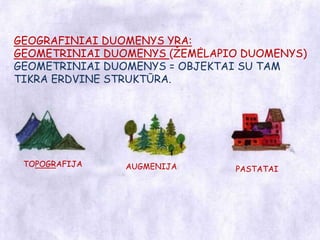
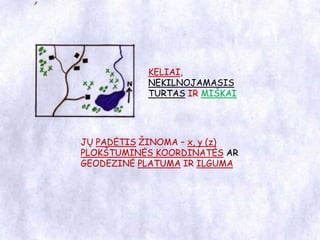
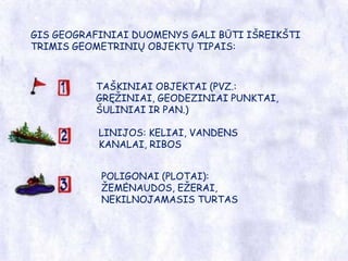
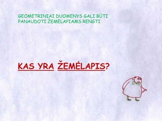
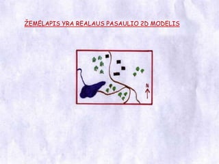
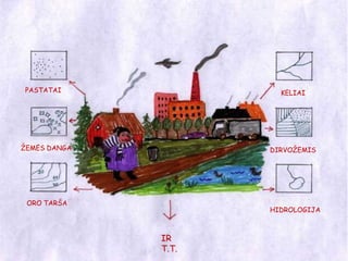
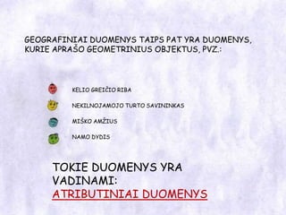


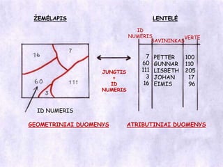

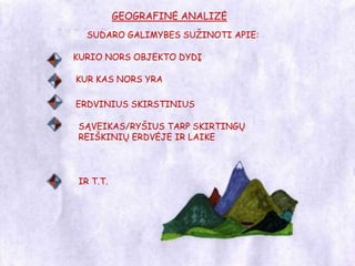


This document provides an introduction to geographic information systems (GIS). It defines what geographic data and maps are in the context of GIS. Geographic data can represent real-world objects like buildings, roads, and land cover through points, lines, and polygons with x,y coordinates. These geometric data are linked to attribute data about the objects through identifiers. GIS allows users to visualize, analyze, and query geographic data and relationships to answer questions about features in an area.


![Gis Intro Presentation Bulgarian[1]](https://cdn.slidesharecdn.com/ss_thumbnails/gisintropresentationbulgarian1-091130075405-phpapp01-thumbnail.jpg?width=640&height=640&fit=bounds)


