Download to read offline
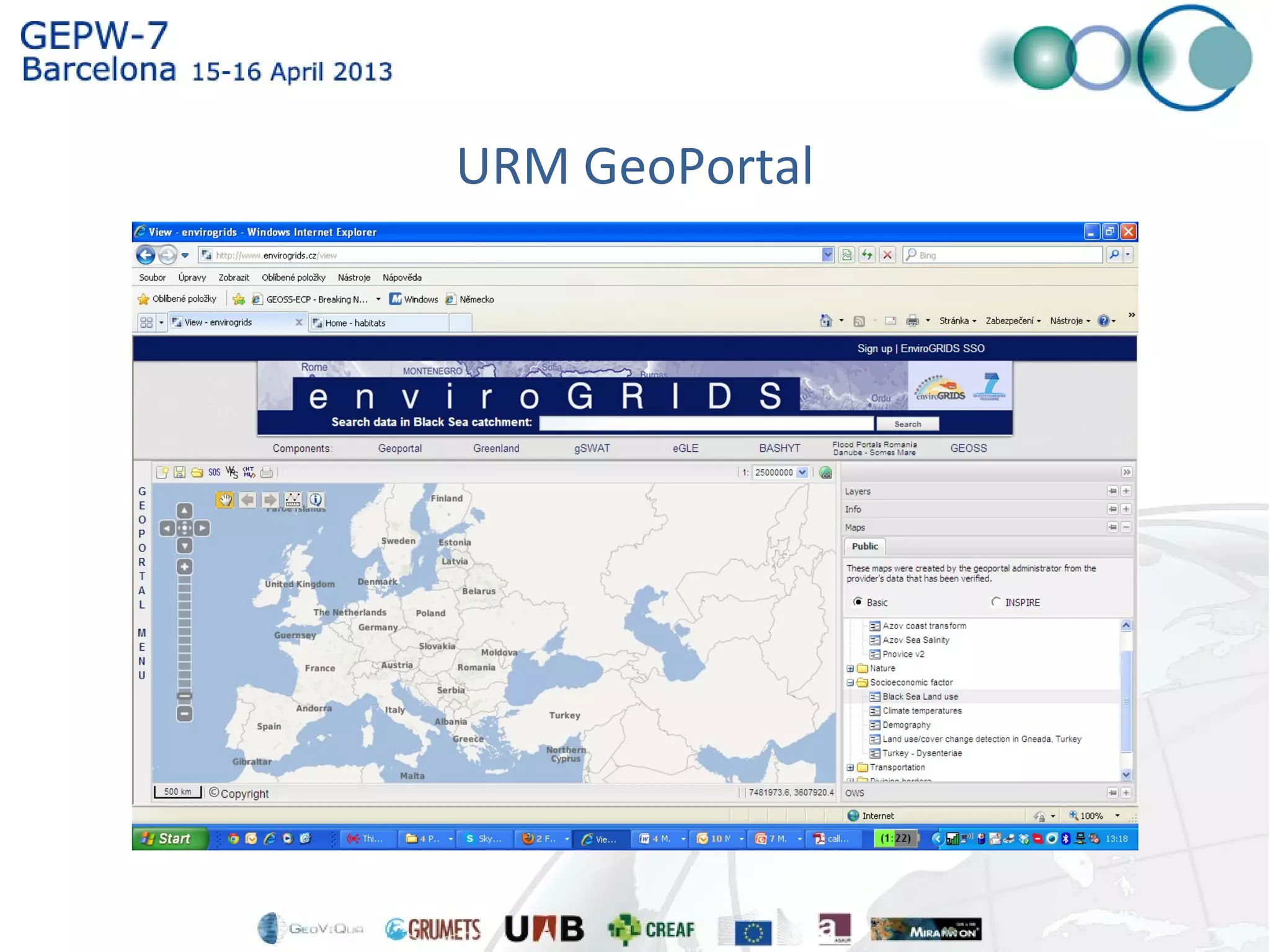
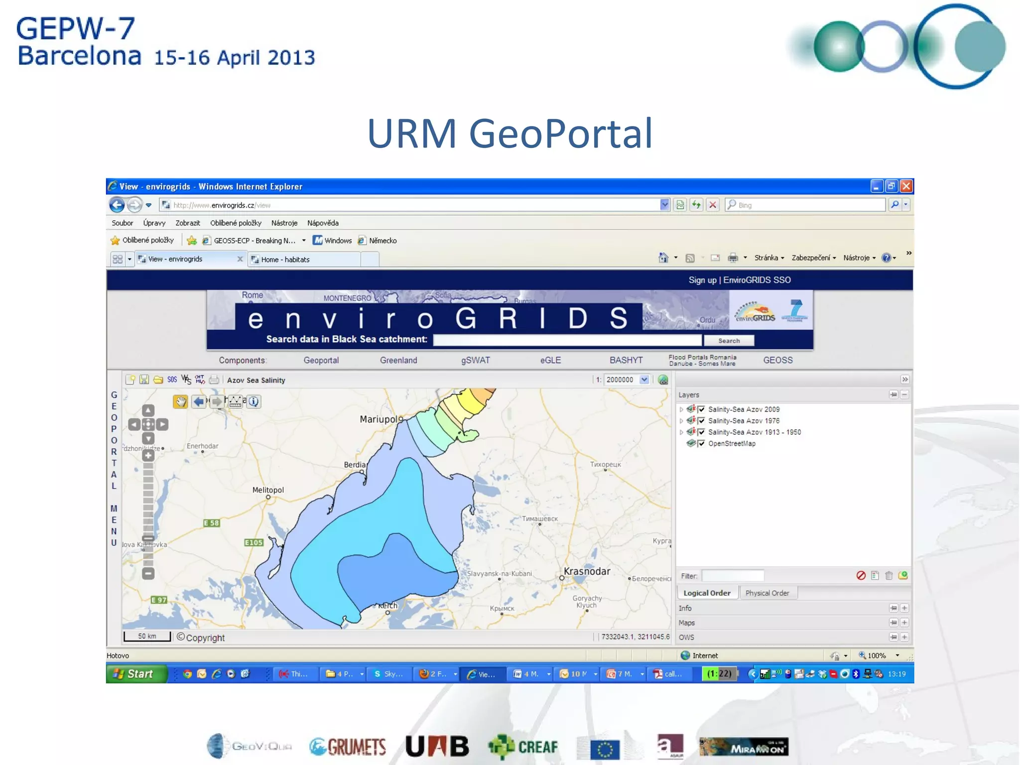
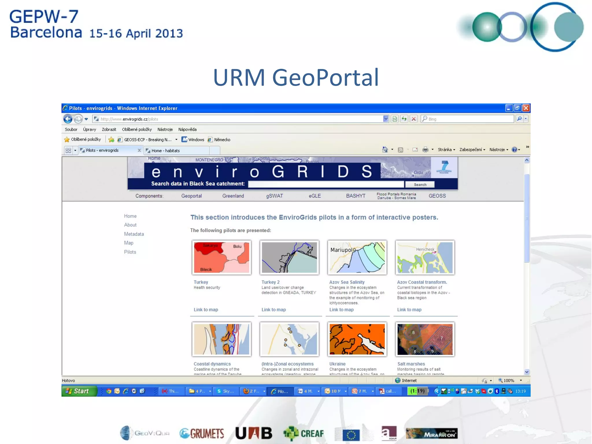
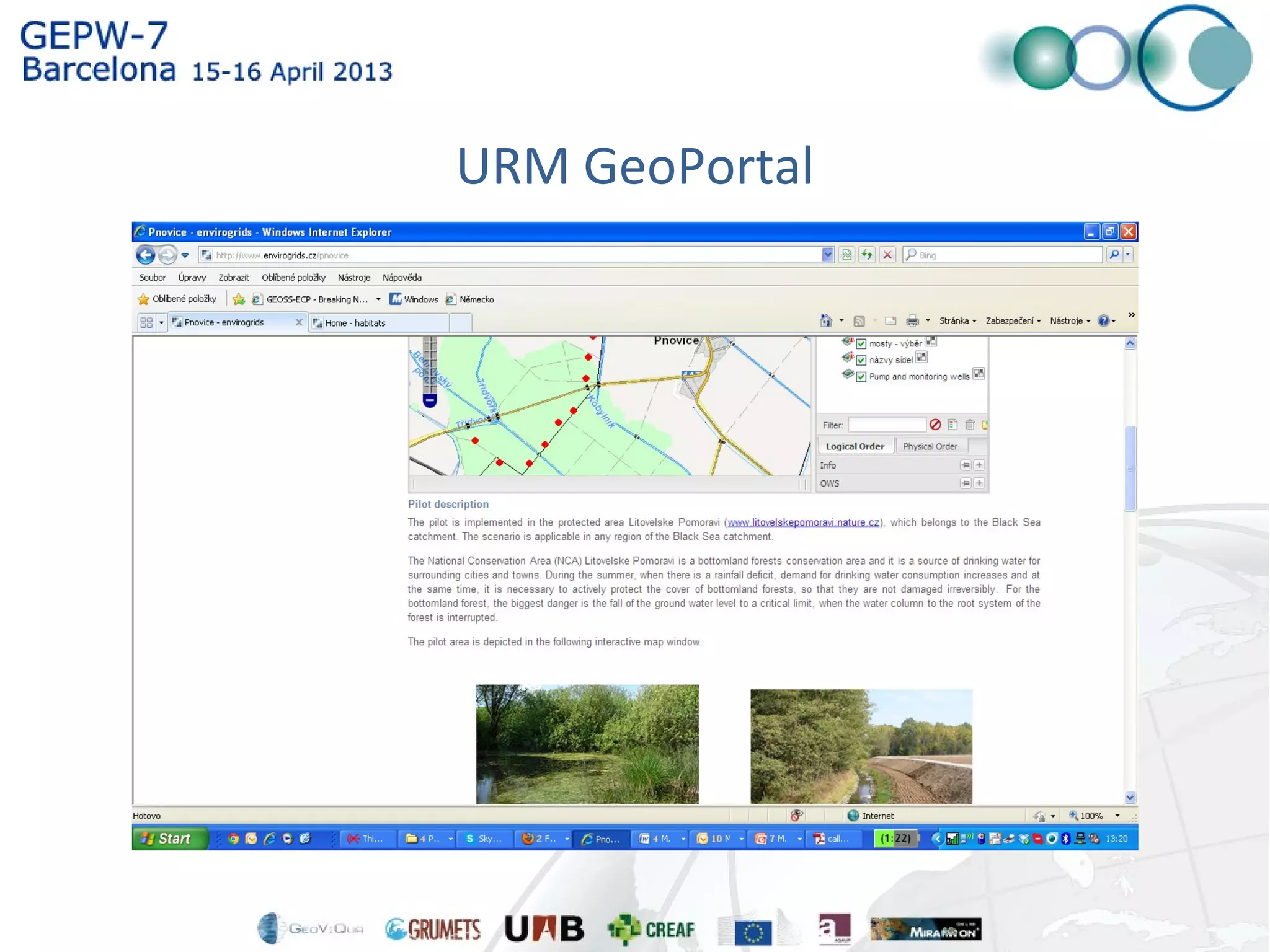

1) The EnviroGRIDS project assembled an observation system for the Black Sea catchment area to address several environmental issues related to climate change. 2) The HABITATS project focused on adopting INSPIRE geospatial data standards through public participation to design and validate environmental data specifications. 3) The Czech Centre for Science and Society has established a Super Catalogue of Catalogues (SuperCAT) that harvests over 2,000 geospatial web services from various catalogs and registries, and monitors their availability on a daily basis.


