Download to read offline

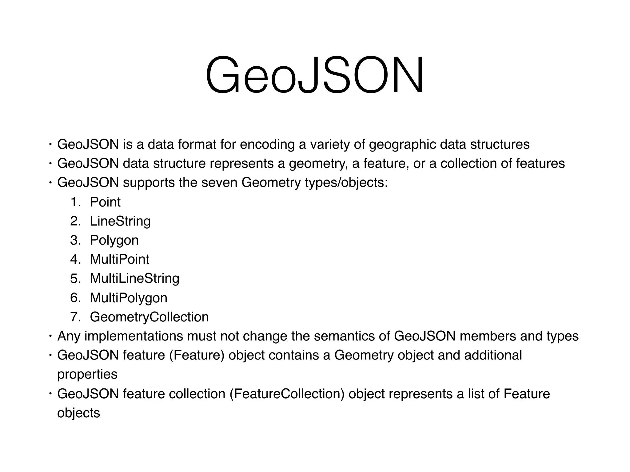
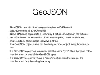

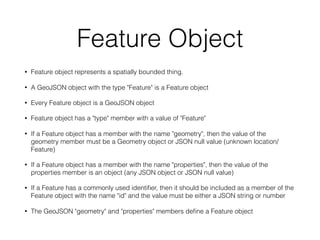

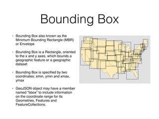

GeoJSON is a format for encoding geographic data structures, including various geometry types such as points, lines, and polygons. It consists of geoJSON objects that represent features or feature collections, containing members like 'type,' 'geometry,' and 'properties.' Additionally, it supports bounding boxes to provide spatial context for geographic datasets.