1.1. Geography: Definition,Scope and Themes
1.1.1. Meaning
1.1.2. Scope, Approach and Theme
1.2. Location, Size and Shape
1.2.1. Location
1.2.2. Size
1.2.3. Shape
1.3. Basic Skills of Map Reading
Chapter 1 - Introduction
5.
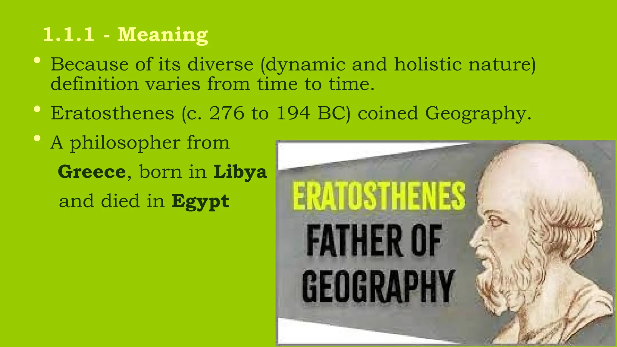
• Because ofits diverse (dynamic and holistic nature)
definition varies from time to time.
• Eratosthenes (c. 276 to 194 BC) coined Geography.
• A philosopher from
Greece, born in Libya
and died in Egypt
1.1.1 - Meaning
6.
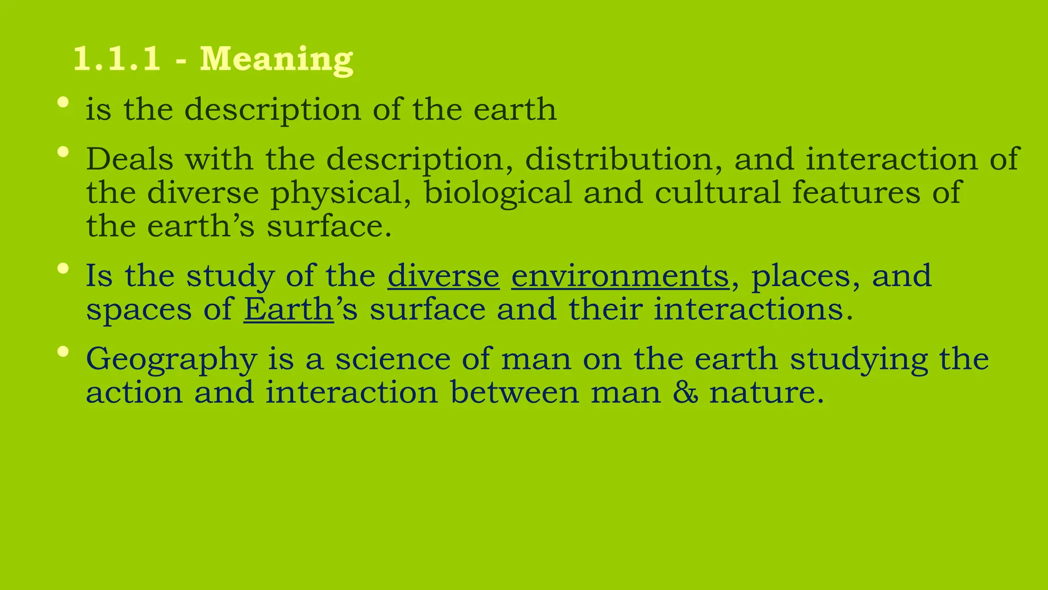
• is thedescription of the earth
• Deals with the description, distribution, and interaction of
the diverse physical, biological and cultural features of
the earth’s surface.
• Is the study of the diverse environments, places, and
spaces of Earth’s surface and their interactions.
• Geography is a science of man on the earth studying the
action and interaction between man & nature.
1.1.1 - Meaning
7.
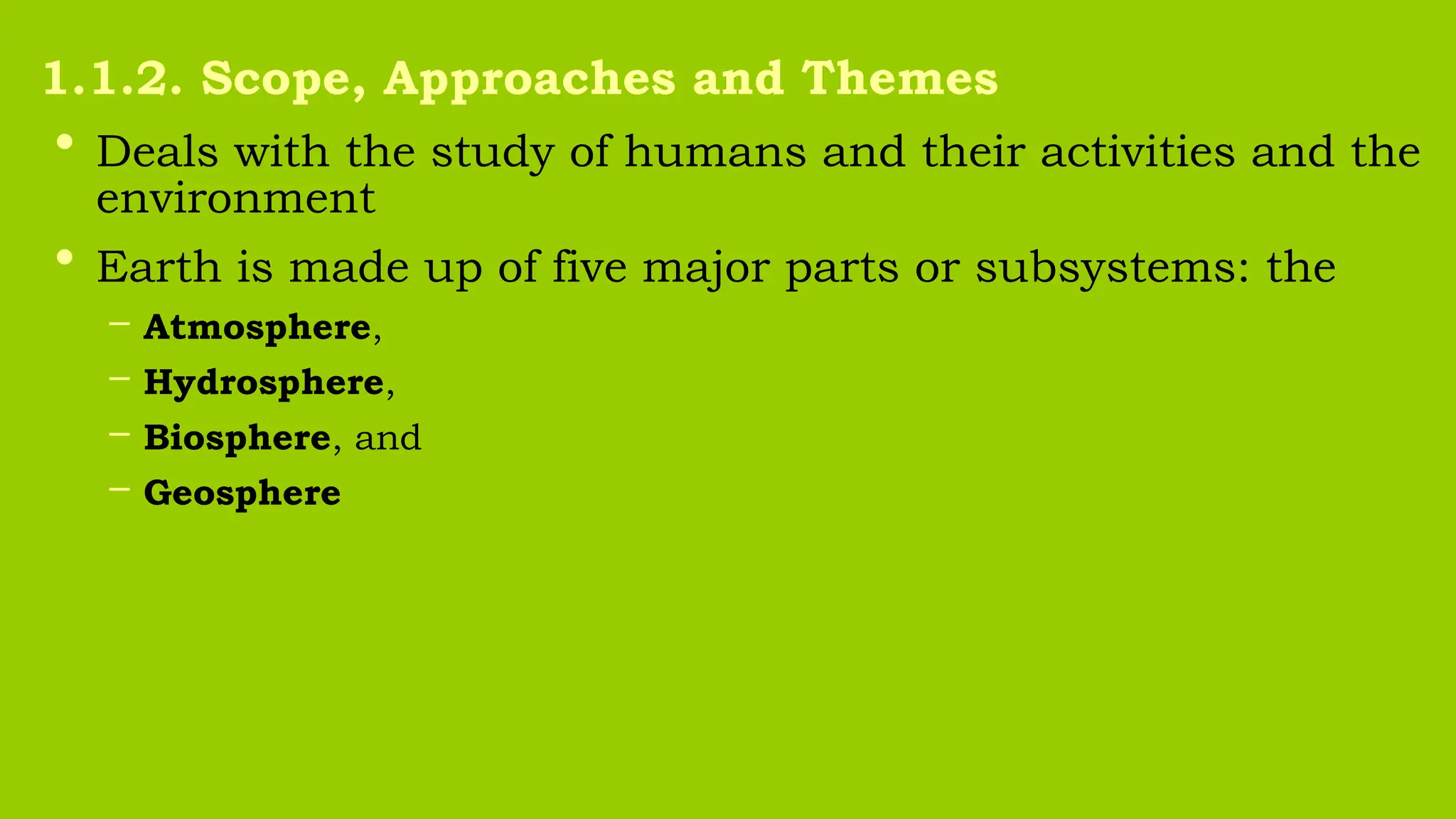
• Deals withthe study of humans and their activities and the
environment
• Earth is made up of five major parts or subsystems: the
– Atmosphere,
– Hydrosphere,
– Biosphere, and
– Geosphere
1.1.2. Scope, Approaches and Themes
8.
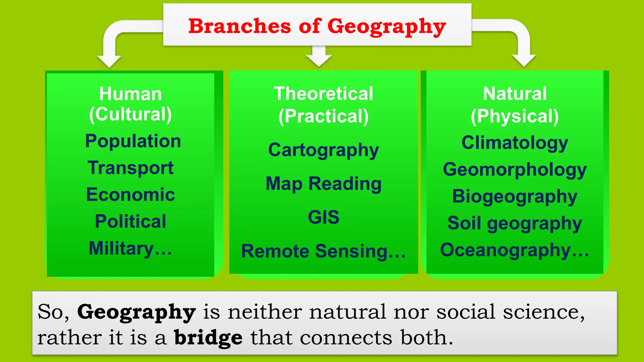
So, Geography isneither natural nor social science,
rather it is a bridge that connects both.
Theoretical
(Practical)
Cartography
Map Reading
GIS
Remote Sensing…
Human
(Cultural)
Population
Transport
Economic
Political
Military…
Natural
(Physical)
Climatology
Geomorphology
Biogeography
Soil geography
Oceanography…
Branches of Geography
9.
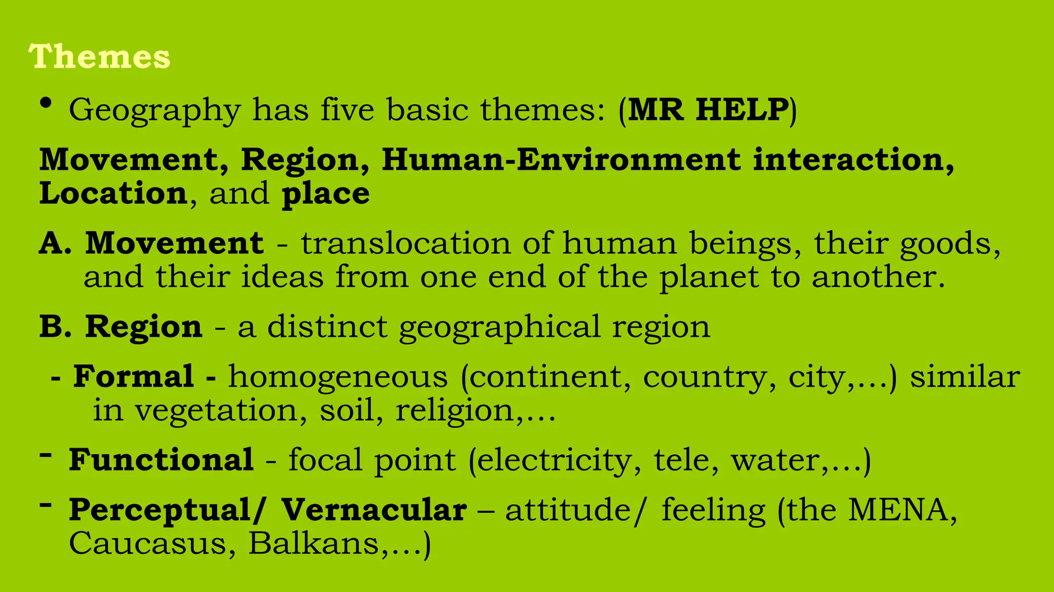
• Geography hasfive basic themes: (MR HELP)
Movement, Region, Human-Environment interaction,
Location, and place
A. Movement - translocation of human beings, their goods,
and their ideas from one end of the planet to another.
B. Region - a distinct geographical region
- Formal - homogeneous (continent, country, city,…) similar
in vegetation, soil, religion,…
- Functional - focal point (electricity, tele, water,…)
- Perceptual/ Vernacular – attitude/ feeling (the MENA,
Caucasus, Balkans,…)
Themes
10.
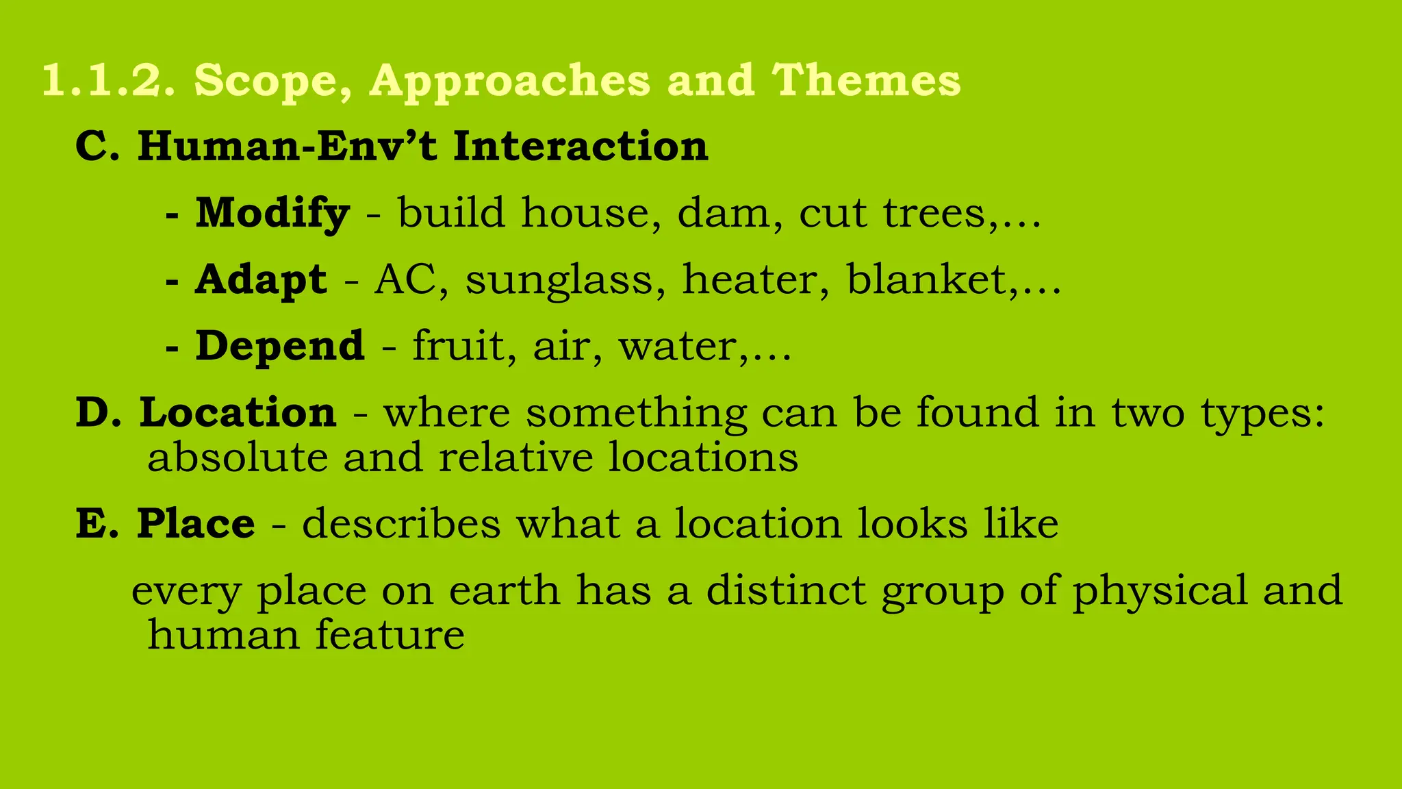
C. Human-Env’t Interaction
-Modify - build house, dam, cut trees,…
- Adapt - AC, sunglass, heater, blanket,…
- Depend - fruit, air, water,…
D. Location - where something can be found in two types:
absolute and relative locations
E. Place - describes what a location looks like
every place on earth has a distinct group of physical and
human feature
1.1.2. Scope, Approaches and Themes
11.
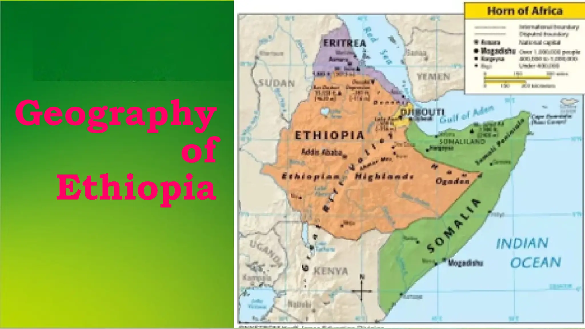
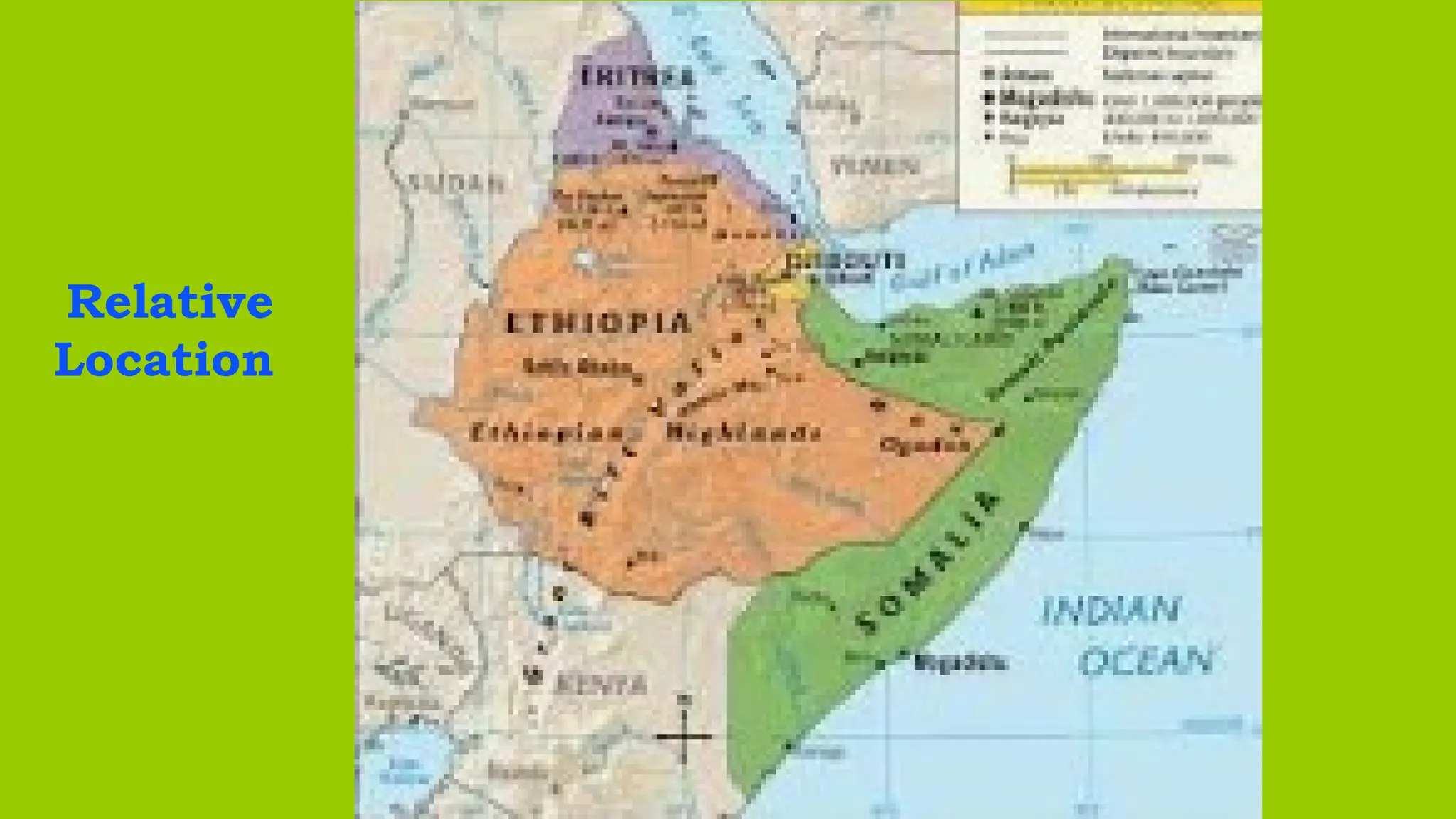
• The Hornof Africa, is protruded into the north-western
Indian Ocean, separating it from the Gulf of Aden.
• The Horn is for the easternmost tip of Africa, defined as a
region of Somalia, Eritrea, Ethiopia, and Djibouti.
• In terms of size, Ethiopia is the largest, while Djibouti is
the smallest.
• It has diverse areas: highlands, rift valleys, plains, and
coast.
• The horn is surrounded by:
Red sea, Gulf of Aden, Arabian Sea, and Indian Ocean.
1.2. Location, Shape and Size
12.
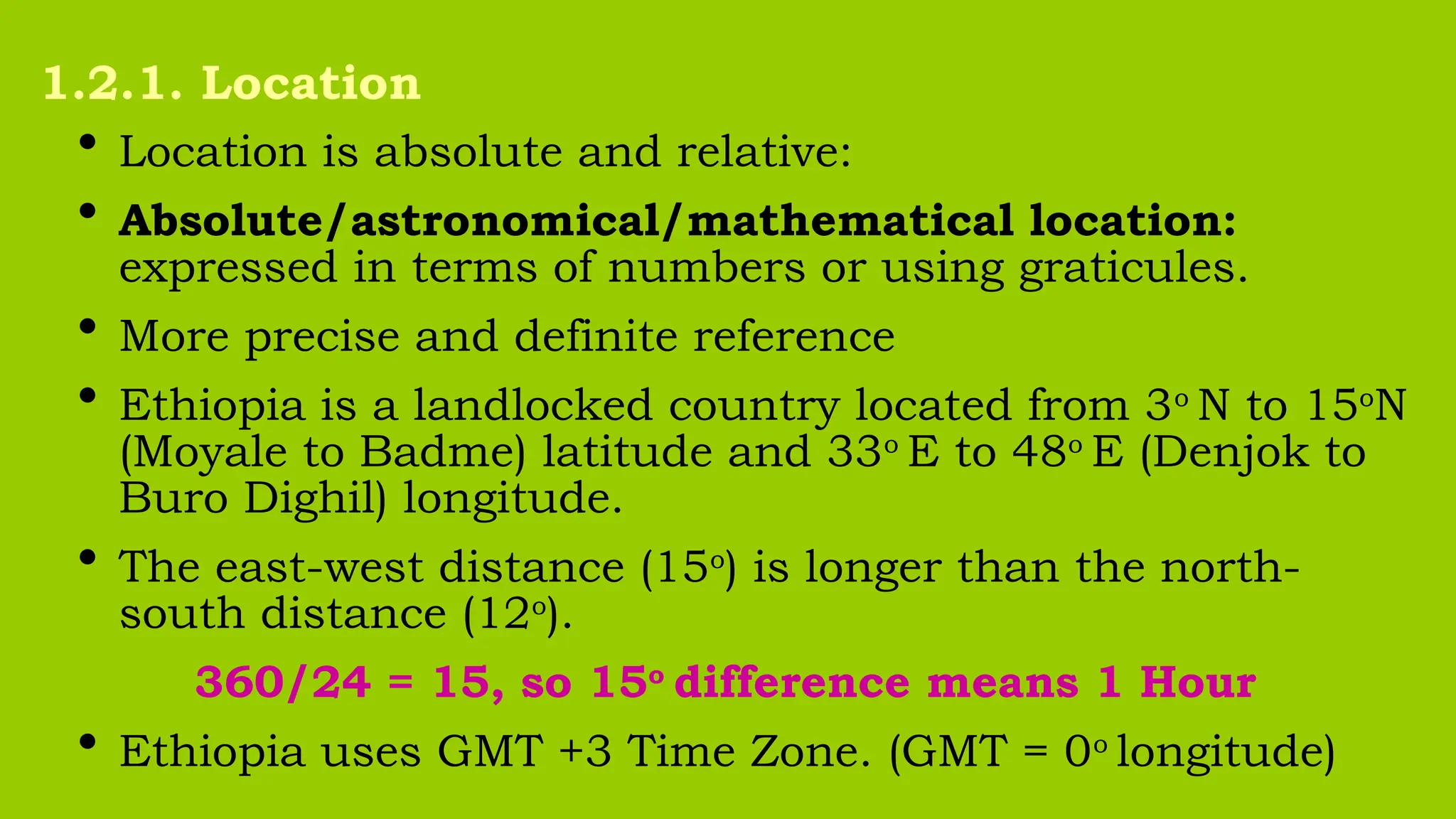
• Location isabsolute and relative:
• Absolute/astronomical/mathematical location:
expressed in terms of numbers or using graticules.
• More precise and definite reference
• Ethiopia is a landlocked country located from 3o
N to 15o
N
(Moyale to Badme) latitude and 33o
E to 48o
E (Denjok to
Buro Dighil) longitude.
• The east-west distance (15o
) is longer than the north-
south distance (12o
).
360/24 = 15, so 15o
difference means 1 Hour
• Ethiopia uses GMT +3 Time Zone. (GMT = 0o
longitude)
1.2.1. Location
13.
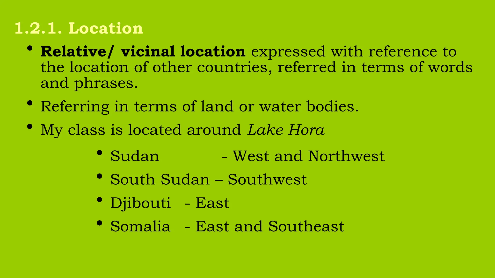
• Relative/ vicinallocation expressed with reference to
the location of other countries, referred in terms of words
and phrases.
• Referring in terms of land or water bodies.
• My class is located around Lake Hora
• Sudan - West and Northwest
• South Sudan – Southwest
• Djibouti - East
• Somalia - East and Southeast
1.2.1. Location
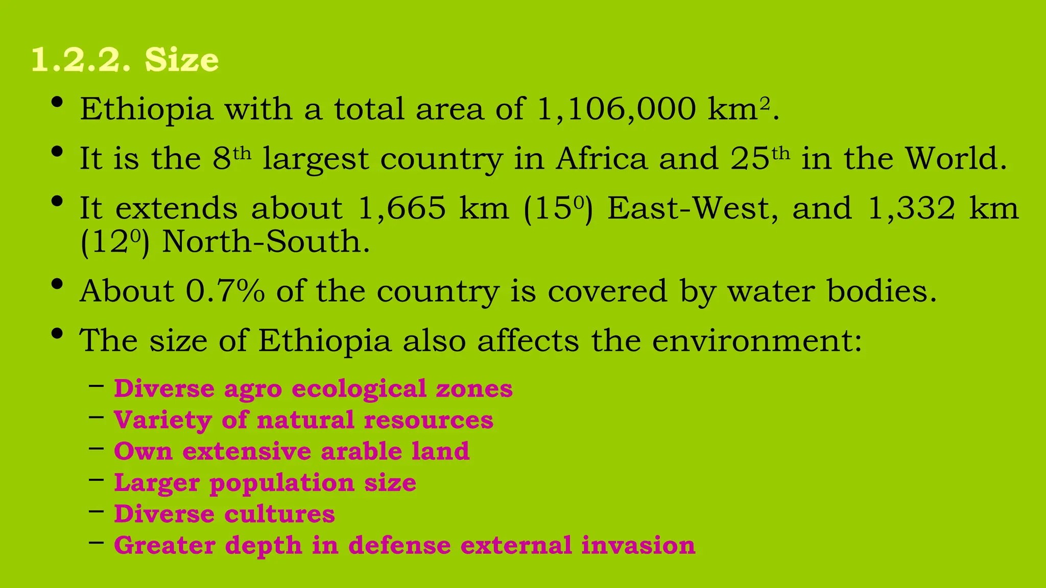
• Ethiopia witha total area of 1,106,000 km2
.
• It is the 8th
largest country in Africa and 25th
in the World.
• It extends about 1,665 km (150
) East-West, and 1,332 km
(120
) North-South.
• About 0.7% of the country is covered by water bodies.
• The size of Ethiopia also affects the environment:
– Diverse agro ecological zones
– Variety of natural resources
– Own extensive arable land
– Larger population size
– Diverse cultures
– Greater depth in defense external invasion
1.2.2. Size
16.
Countries can bedivided into five main categories:
• Compacted - relatively equal distance from the centre
E.g. Kenya, Poland, Uruguay, Cambodia,…
• Fragmented - separated state by land or water:
E.g. Greece, Armenia, Canada, Philippines
• Elongated/attenuated - long and relatively narrow:
E.g. Malawi, Chile, Portugal, Vietnam,…
• Perforated - completely surrounds another country:
E.g. South Africa, Italy, …
• Protruded/ prorupted - an extended arm of territory:
E.g. Myanmar, Eritrea, Thailand,…
1.2.3. Shape or State Morphology
17.
Countries that haveno outlet of land to the next are
called Landlocked.
A boundary is of two types: Artificial
Natural
Indices of Compactness:
a. Area - boundary (A/B)
b. Boundary – Circumference (B/C)
c. Area – Circumference (A/C)
d. Area – Area (A/A’)
1.2.3. Shape or State Morphology
18.
What is Map?
•A map is a simplified, diminished, plain representation of all
or part of the earth’s surface as viewed from vertically above.
• A map is a symbolic representation of selected
characteristics of a place, usually drawn on a flat surface.
• Maps are everywhere now, thanks to GIS technology.
• The work of mapping is that people can access any map,
anywhere and anytime through GIS. A map is also referred
to synonymously as:
living map online mapping wireless mapping
internet mapping web mapping cyber-cartography
ubiquitous mapping
1.3. Map Reading (Basic Skills of ?)
19.
Importance of maps
•Provide the basis for making geographical details of
regions represented
– i.e. the geographical facts of an area: as relief, drainage, settlement...
• Maps are powerful tools for making spatial analysis of
geographical facts of areas represented.
• Maps are useful for giving location of geographical
features by varied methods of grid reference, place
naming etc.
1.3. Map Reading
20.
Importance of maps
•Maps are used on various disciplines
– i.e. land use planning, military science, aviation, tourism, marine
science, population studies, epidemiology, geology, economics,
history, archaeology, agriculture etc.
• Map makes storage of the geographical data of areas
represented.
• Maps are potentially used to asses reliable
‟
measurements of the geographical features.
• The measurements can be of area, size, distance etc.
1.3. Map Reading
21.
Types of Map
•These are according to their purpose and functions.
a. Topographical /general purpose maps:
• Topographic maps depict one or more natural and
cultural features of an area. (all in one)
b. Special/statistical/specific maps:
• They show the distribution of different aspects such as:
– Temperature, Rainfall, Settlement, Vegetation etc.
1.3. Map Reading
22.
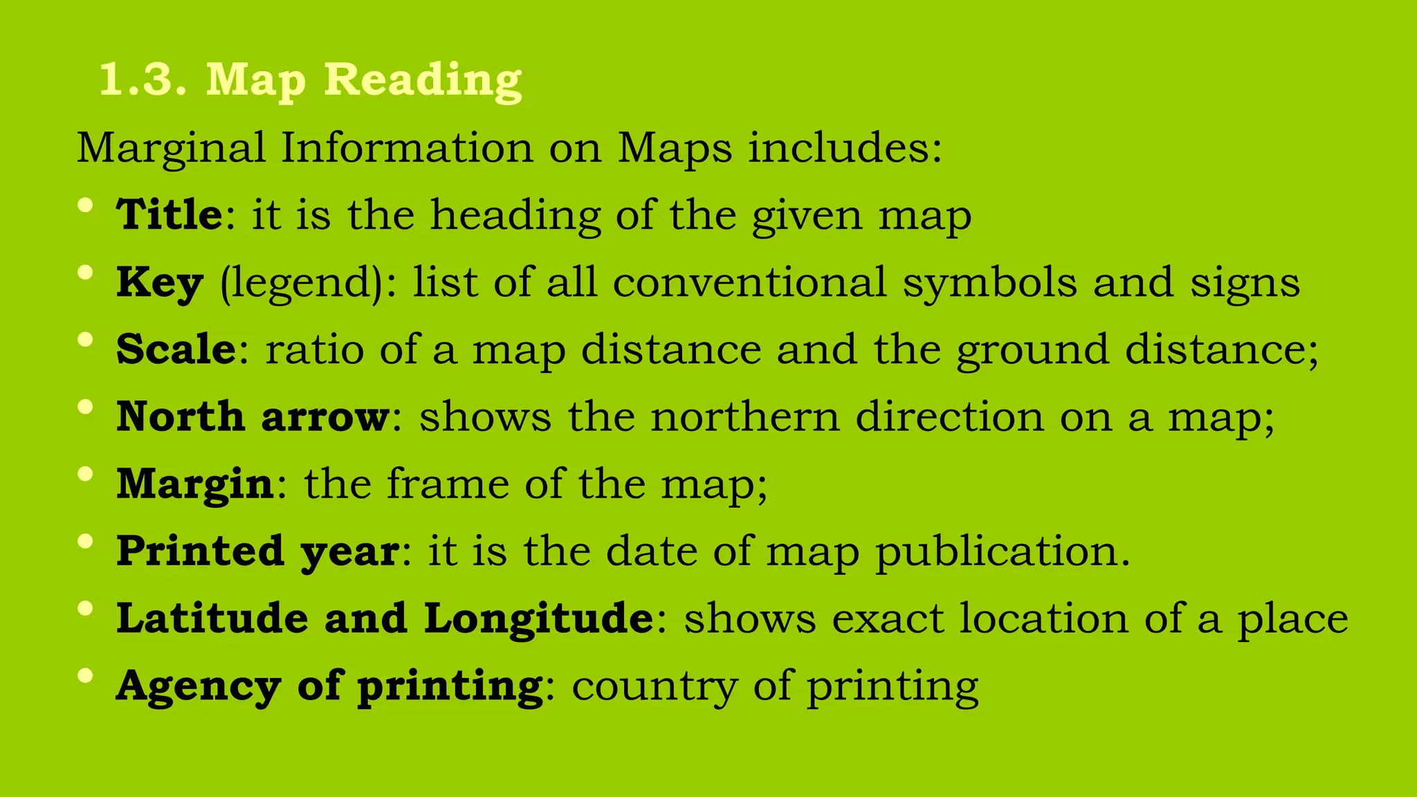
Marginal Information onMaps includes:
• Title: it is the heading of the given map
• Key (legend): list of all conventional symbols and signs
• Scale: ratio of a map distance and the ground distance;
• North arrow: shows the northern direction on a map;
• Margin: the frame of the map;
• Printed year: it is the date of map publication.
• Latitude and Longitude: shows exact location of a place
• Agency of printing: country of printing
1.3. Map Reading
23.
Basic Principles ofMap Reading
• In developing map reading abilities and skills, certain basic
principles must be applied by the map-reader to translate
map symbols into landscape images.
• Map readers must have ideas about the symbol and also
the real world (landscapes).
• Every map symbol must be visualized by the reader.
• The first symbols introduced should be those, which refer
to landscape features of which the reader already has some
images.
• Map symbols should be introduced as needed.
1.3. Map Reading
24.
Basic Principles ofMap Reading
• Knowledge of directions is an important task in maps.
• Orient ourselves to locate places on the earth.
• Basic knowledge of directions to use a map is important.
• Before locating features, north should be identified.
• To learn to read direction on a specific map is useful.
• Maps are covered in a series of lines that make up a grid.
• The lines have numbers to find location on a map.
• Grids make give an accurate picture of location.
• This series of numbers, are known as grid reference.
1.3. Map Reading
Review Question onChapter 1
Answer the following questions briefly.
1. What are the implications of location, shape and size on
the physical environment, socioeconomic and political
aspects?
2. Explain the Themes of Geography.
3. What are the basic principles of map reading?
4. Mention some from Marginal Information on Maps
27.
Tell to yourself
Beforeclosing this Chapter,
I’ll understand the notes first
then go to the next chapter.