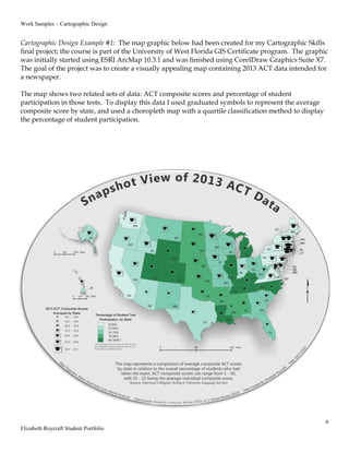
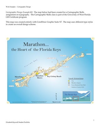
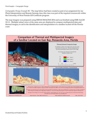
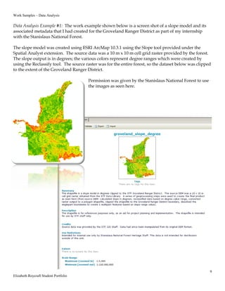
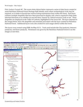
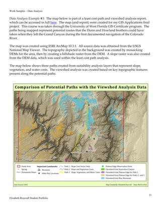
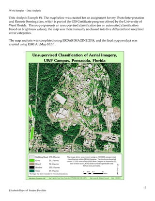
The document provides background information and work samples from Elizabeth Roycraft's student portfolio for a Graduate GIS Certificate program. It includes a résumé highlighting her archaeological experience and GIS skills. Work samples show maps and spatial analyses she created, including: [1] A choropleth and graduated symbol map of ACT test data; [2] A typography map made in CorelDraw; and [3] A remote sensing analysis comparing imagery and thermal data to identify a sandbar. Additional samples demonstrate slope modeling and data layers to identify areas requiring archaeological work.