Download to read offline
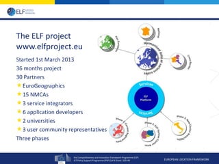

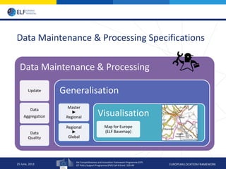
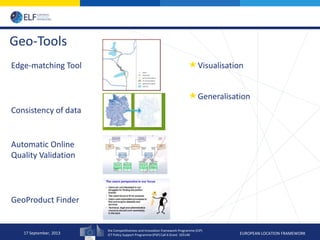
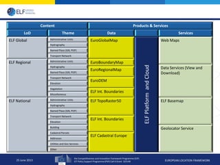
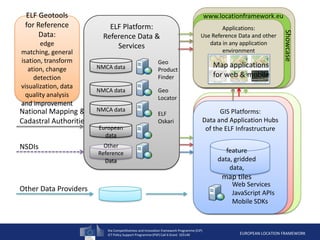
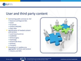
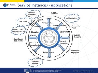
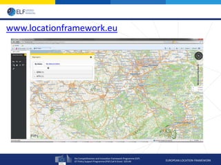
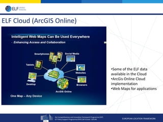
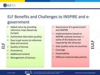
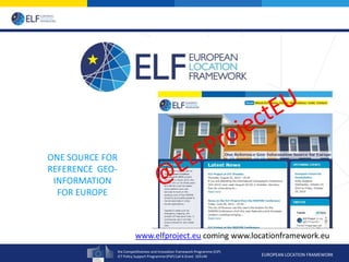

The European Location Framework (ELF) project aims to create a single source of reference geospatial information for Europe. The 36-month project involves 30 partners, including national mapping agencies, to develop geospatial services and tools. These will include a basemap service, geocoding service, and tools for data maintenance and quality. The project seeks to make authoritative geospatial data easy to access and use through cloud platforms like ArcGIS Online. The goals are to benefit applications and support INSPIRE implementation through improved interoperability of national datasets.


![5G Explained! A High Level Overview [Introduction]](https://cdn.slidesharecdn.com/ss_thumbnails/5gexplainedahighleveloverview-260119165306-cc137a3e-thumbnail.jpg?width=640&height=640&fit=bounds)


