Download to read offline


![Open Source Infrastructure
“Software infrastructure, like physical infrastructure,
requires maintenance.
But nobody is pushed to sustain it
as it is a public good…”
[Nadia Eghbal ]](https://image.slidesharecdn.com/2017eguosgeotownhallintrov01-180411114401/85/EGU-GA-2017-OSGeo-Townhall-10-320.jpg)


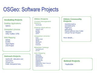


![Open Geoscience activities
• OpenGeoscience Committee
Outreach activities with the EGU and AGU: Townhalls, Early
Career Scientists, [more to come]
• Open Monitoring Systems Working Group
Collaborative working group to share experience on open
monitoring systems for in-situ earth observations with the aim
of advancing beyond the state-of-the-art in various involved
scientific fields.](https://image.slidesharecdn.com/2017eguosgeotownhallintrov01-180411114401/85/EGU-GA-2017-OSGeo-Townhall-24-320.jpg)


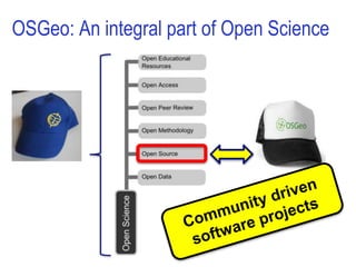
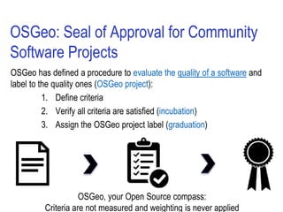
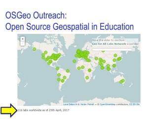
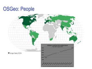
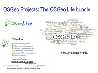
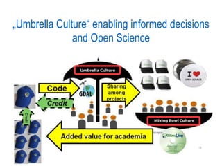
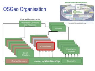
This document discusses open science and the role of OSGeo (Open Source Geospatial Foundation) in supporting open science. It notes that open science allows for broad data sharing across disciplines and open verification of research results. Funding agencies are increasingly requiring open science as part of research grants. OSGeo supports open geospatial technologies and ensures their long-term maintenance through community software projects. It has established criteria to evaluate software projects and designate them as official OSGeo projects. OSGeo has supported many open source geospatial projects over its 10+ year history.


![谷歌留痕技术 [ 𝙩𝙤𝙥 𝟮𝟯𝟯. 𝙘 𝙤𝙢 ]](https://cdn.slidesharecdn.com/ss_thumbnails/top233-260130174328-3833018c-thumbnail.jpg?width=640&height=640&fit=bounds)


