Download as ODP, PPTX
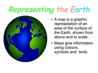
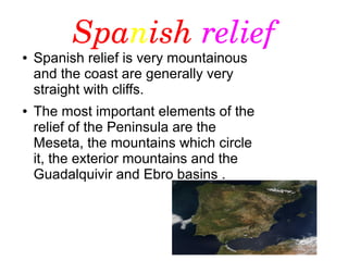

This document provides information about maps and the Earth's surface. It explains that maps are graphic representations of areas on Earth shown from above and to scale, and use colors, symbols and text to provide information. It also describes some key features of Spanish relief, noting it is very mountainous with straight, cliff coasts, and identifies the major landforms including the Meseta plateau and surrounding mountains, exterior mountains, and river basins of the Guadalquivir and Ebro. The document was written by three students at a school in Spain.