Download as PDF, PPTX


![15 november 2018 12
Soil & Bedrock
SoilGrids
• 2017
• 250 m x 250 m
• Depth to the bedrock
• Sand fraction
• Silt fraction
• Clay fraction
Hengl et al. (2017)
Tehrani et al. (2019)
Background Data Prediction Current activities
[cm]](https://image.slidesharecdn.com/08-181129132230/75/DSD-INT-2018-Global-Landslides-analysis-and-forecasting-Tehrani-12-2048.jpg)


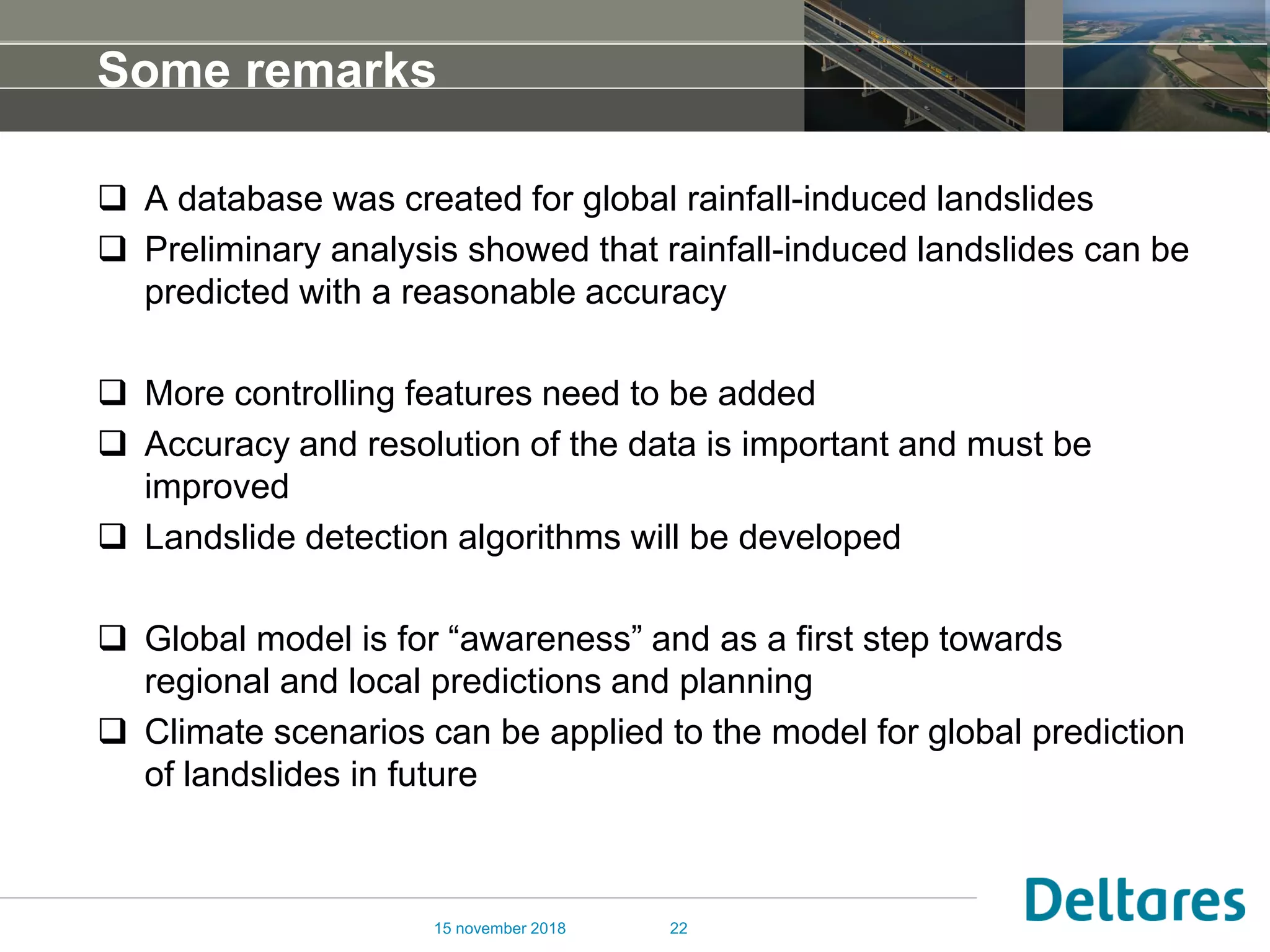

The document discusses the research and methodologies for forecasting rainfall-induced landslides, highlighting the use of various data sources and machine learning techniques for predicting landslide susceptibility. It outlines a global database for landslides and emphasizes the need for improving data accuracy and resolution for better prediction models. The ongoing activities also include the development of landslide detection algorithms and applications of climate scenarios for future predictions.