
Recommended
Recommended
More Related Content
What's hot
What's hot (14)
Viewers also liked
Recently uploaded
Recently uploaded (20)
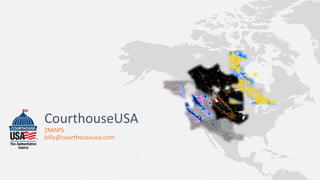
Courthouse usa 2maps pdf
- 2. 2MAPS 2MAPS is a geospatial‐based product that provides a parcel‐level affordable housing and traffic reduction model to aid in “smart growth” and sustainable development Spatial algorithm assigns parcels categorical scores and performs overlays Maps produced: • Relative Walk Map / High Walk Overlay zone • Relative Transit Map / High Walk Overlay zone • Climate Change Overlay Map