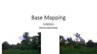
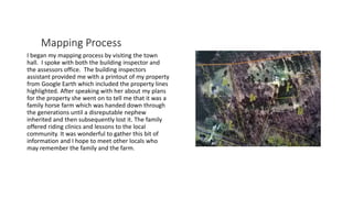
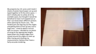
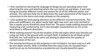
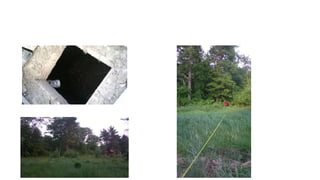
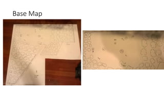
The author began their mapping process of their 13+ acre property by visiting the town hall and speaking with the building inspector and assessor's office. They were provided maps of the property lines and measurements. The author then created a large base map of the entire property by taping together sheets of paper and using string to accurately map out the angles and perimeter. The author observed the landscape to identify zones for plants and animals and future placement of structures. They found the old septic system needs testing and will remove the existing farmhouse from the map. The author believes the land can be designed following permaculture principles and they are motivated to understand nature's patterns and share the space.