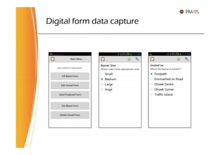
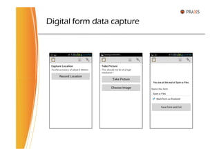
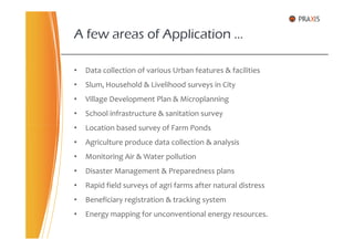
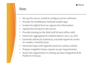
Praxis Management Consulting provides a digital survey solution using their fieldMaster Android app and fieldServer. The solution allows for:
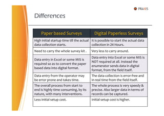
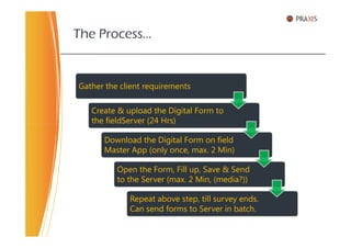
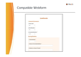
- Rapid deployment of digital forms for data collection within 24 hours
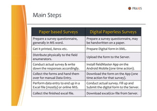
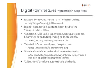
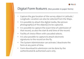
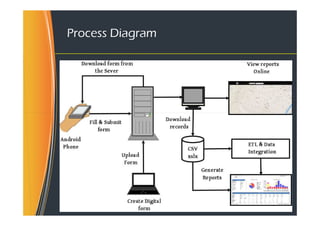
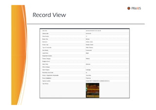
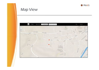
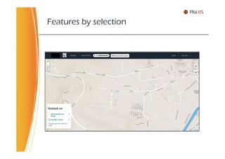
- Error-free, real-time collection of data including location, photos and timestamps
- Elimination of manual data entry by submitting forms directly from the field
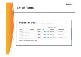
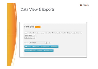
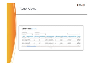
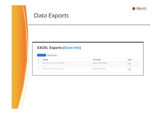
- Advanced reporting, exports and analysis of survey data through the centralized fieldServer
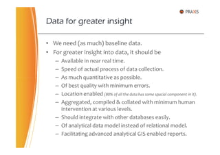
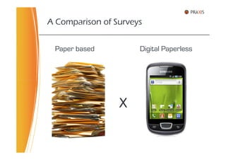
The solution provides a low-cost alternative to paper-based surveys with fewer errors and faster results. Praxis offers training and hosting options to help organizations digitize their survey processes.