
Recommended
More Related Content
What's hot
What's hot (19)
More from HRCA
More from HRCA (20)
Recently uploaded
Recently uploaded (20)
Photos for Proposed Verizon Cell Tower
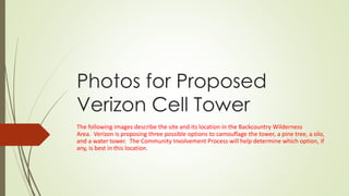
- 1. Photos for Proposed Verizon Cell Tower The following images describe the site and its location in the Backcountry Wilderness Area. Verizon is proposing three possible options to camouflage the tower, a pine tree, a silo, and a water tower. The Community Involvement Process will help determine which option, if any, is best in this location.
- 2. Vicinity Map. The site is located on the west side of Monarch Blvd just south of Rocky Heights Middle School.
- 3. A closer view of the proposed site.
- 4. An even closer view of the proposed site. The existing structure is a red brick building that houses a water well and pump.
- 5. The existing access road, power, and proximity to Monarch/Quebec are some of the reasons why this site is being proposed. The Douglas County East-West trail is on the west side of the existing building.
- 6. Demand
- 7. Safety
- 8. A rendering of what the site would look like with a monopine. The building is existing.
- 9. A rendering of what the site would look like with a silo.
- 10. A rendering of what the site would look like with a water tower.
- 12. Silo Elevation
- 16. Silo lease area
- 17. Silo lease area
- 18. Water tower lease area
- 19. Overall site plan. Future utilities, access, and water well not shown.