Top Benefits of Topographical Surveys.pdf
•
0 likes•26 views

Topographical Surveys are one of our specialities. We point to every detail during the survey and explain it to our customers to satisfy their needs. So, if you are looking for the best topographical survey companies in UAE, then Falcon Laboratory LLC is the best choice for you. If you have any queries regarding the land survey? Visit us now!

Recommended
More Related Content
Similar to Top Benefits of Topographical Surveys.pdf
Similar to Top Benefits of Topographical Surveys.pdf (20)
More from Falcon Laboratory
More from Falcon Laboratory (11)
Recently uploaded
Recently uploaded (20)
Top Benefits of Topographical Surveys.pdf
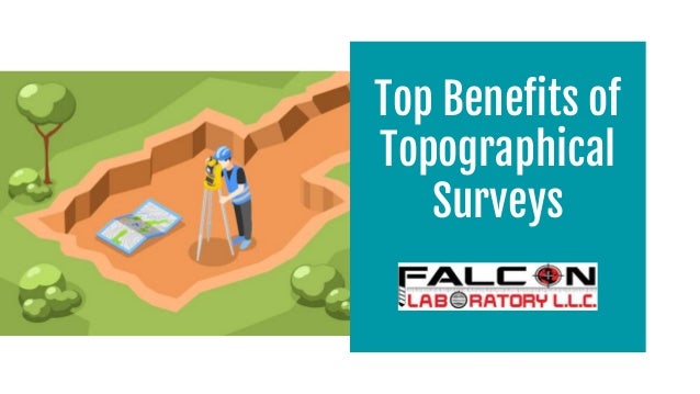
- 2. A topographical survey, or a topographical land survey, is a survey that includes contours. Topographical land surveying is the process of measuring and identifying the exact position and characteristics of natural and artificial features on a piece of land. The survey is then turned into a suitable and thorough design, which incorporates artificial elements such as boundaries, neighbouring buildings, sidewalks, etc. The topographical survey also detects natural features such as trees, ponds, and ground contours. A topographic or topographical land survey depicts the height, depth, size, and placement of any constructed or natural objects on a specific piece of land, as well as changes in elevation or contours within the property. Topographic surveys are concerned with height, whereas border surveys are concerned with horizontal measures.
- 3. TOPOGRAPHIC SURVEYS: HISTORICAL BACKGROUND Topographic surveys were in batches to serve as the foundation for larger topographic maps. These large-scale surveys were intended to reveal elevations and features not featured on typical maps and surveys. The Carte géométrique de la France is the first topographic map series of an entire country (1789). Topographic surveys were employed for military and infrastructural objectives after that. Databases began to replace printed topographic maps in the 1980s. Database designers merged information from early topographic maps with data from other sources to develop what, by the mid-1990s, had evolved into the user-friendly tools we now know when we view maps online. Topographic maps are still valid in today's world, assisting with geographic planning, earth science studies, and civil engineering.
- 4. A clear and accurate image of your land will help you avoid costly downstream mistakes caused by unanticipated challenges. 01 In the case of purchased land, a topographical survey can reveal any information hidden from plain sights, such as changes to the area over time. 02 TOP 5 BENEFITS TOPOGRAPHICAL SURVEY
- 5. It can supply you with all the information you need about the land before making any alterations. 03 It provides engineers and architects with the information to create correct and appropriate designs for the property's unique features. 04 It provides final as-built data to confirm that the approved designs constructed the site substantially. 05
- 6. ❏ Gathering data, such as the geographic area to be covered, the level of detail to be included, accuracy, and data output. ❏ Organizing the timetable and pricing. ❏ On-site survey data collection. ❏ Data processing and final survey output preparation. ❏ Internal quality control is overseen by a senior member of staff. ❏ The client receives the final survey results. STEPS INVOLVED IN A TOPOGRAPHICAL SURVEY
- 7. Read More Here: 15 Ways Topographical Survey Companies Can Improve Your Business
- 8. Topographical Surveys are one of our specialities. We point to every detail during the survey and explain it to our customers to satisfy their needs. So, if you are looking for the best topographical survey companies in UAE, then Falcon Laboratory LLC is the best choice for you. If you have any queries regarding the land survey? Call us now!
- 9. Near Dubai Municipality Nursery P.O. Box: 231494, Al Warsan Third, Dubai United Arab Emirates info@falconlabuae.com +971-4-2212333 https://www.falconlabuae.com/contact/ Contact Details
- 10. Thank You