Hydrographic Survey Positioning Systems Market Worth Observing Growth
GLASS Overview 2016-06-01
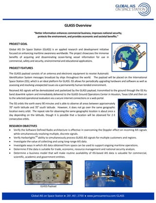
1. Global AIS on Space Station 281.461.3700 www.jamssamerica.com/GLASS
GLASS Overview
“Better information enhances commercial business, improves national security,
protects the environment, and provides economic and societal benefits.”
PROJECT GOAL
Global AIS On Space Station (GLASS) is an applied research and development initiative
focused on enhancing maritime awareness worldwide. The project showcases the immense
benefits of acquiring and disseminating ocean-faring vessel information for use in
commercial, safety and security, environmental and educational applications.
PROJECT FEATURES
The GLASS payload consists of an antenna and electronic equipment to receive Automatic
Identification System messages broadcast by ships throughout the world. The payload will be placed on the International
Space Station (ISS), which is an ideal platform for GLASS. ISS allows for periodically upgrading hardware and software as well as
assessing and resolving unexpected issues via a permanently human-tended environment.
Received AIS signals will be demodulated and packetized by the GLASS payload, transmitted to the ground through the ISS Ku
band downlink system and immediately delivered to the GLASS Ground Operations Center in Houston, Texas USA and then on
to the selected operational evaluators via a secure internet connections or a web portal.
The ISS orbits the earth every 90 minutes and is able to observe all areas between approximately
70o
north latitude and 70o
south latitude. However, it does not go over the same geographic
location every orbit. The repeat rate for observing the same geographic location is about once a
day depending on the latitude, though it is possible that a location will be observed for 2-3
consecutive orbits.
RESEARCH OBJECTIVES
• Verify the Software Defined Radio architecture is effective in overcoming the Doppler effect on incoming AIS signals
while simultaneously resolving multiple, discrete signals.
• Verify HarborlightsTM
ability to simultaneously process GLASS AIS signals for multiple customers and regions.
• Investigate the value of collecting and using long-range AIS data.
• Investigate ways in which AIS data obtained from space can be used to support ongoing maritime operations.
• Determine if the data is suitable for trade, economic, resource management and national security analysis.
• Determine a business model that will make routine availability of ISS-based AIS data is valuable for commercial,
scientific, academic and government entities.
GLASS Payload
2. PROJECT IMPLEMENTATION AND MAJOR MILESTONES
GLASS is a multi-year, grant-based initiative that began in late 2014. Major milestones and for the project are as follows (subject
to change based on the space station launch schedule):
• Hardware/software development (initiated October 2014)
• Equipment launched to ISS and readied for operation (Summer 2016)
• System demonstration and data collection (12-month duration)
• Final assessment, report and project completion (Summer 2017)
VALUE AND BENEFITS
Nearly all commercial vessels are monitored using AIS signals which are currently limited to line-of-site reception. The
availability of global, real-time data delivery via the ISS provides significant information that enhances the economic vibrancy of
ports and trade, protects valuable resources, and improves operations and emergency responses.
Commercial
• Promotes operating efficiencies and secures more tonnage through ports
• Provides frequent vessel updates for harbor scheduling, personnel
management and product warehousing
• Improves protection of Exclusive Economic Zones
Safety and Security
• Reduces illegal, unreported and unregulated fishing
• Curtails unlawful shipping and piracy
• Assists with vessel traffic, danger zones,
inclement areas and location of distressed ships
Environmental
• Supports sea traffic control for fuel savings and less green-house gas
emissions
• Helps identify traffic movements in or around marine-protected areas
• Identifies potential unauthorized waste discharge
Education and Training
• Provides hands-on learning for workplace application of AIS data
• Augments academic studies and curriculum
FOR MORE INFORMATION
JAMSS America, Inc. (Attn: GLASS)
16055 Space Center Blvd
Suite 240
Houston, TX 77059
281.461.3700
GLASS@jamssamerica.com
www.jamssamerica.com/GLASS