Download as PDF, PPTX

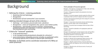
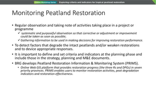
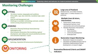

The document outlines a comprehensive framework for monitoring peatland restoration in Indonesia, focusing on criteria like rewetting, revegetation, and socio-economic revitalization. It defines essential principles for ecosystem management and emphasizes the importance of establishing criteria and indicators for effective monitoring. Additionally, it highlights challenges in monitoring methods, the development of an online restoration information system, and various restoration efforts across multiple sectors and regions.


