Download to read offline


![Missie [DRAFT]
Het gebruik van
open source geo-software
open geo-data,
open geo-standaarden en
open geo-innovatie
in het Nederlandse taalgebied stimuleren en promoten
...
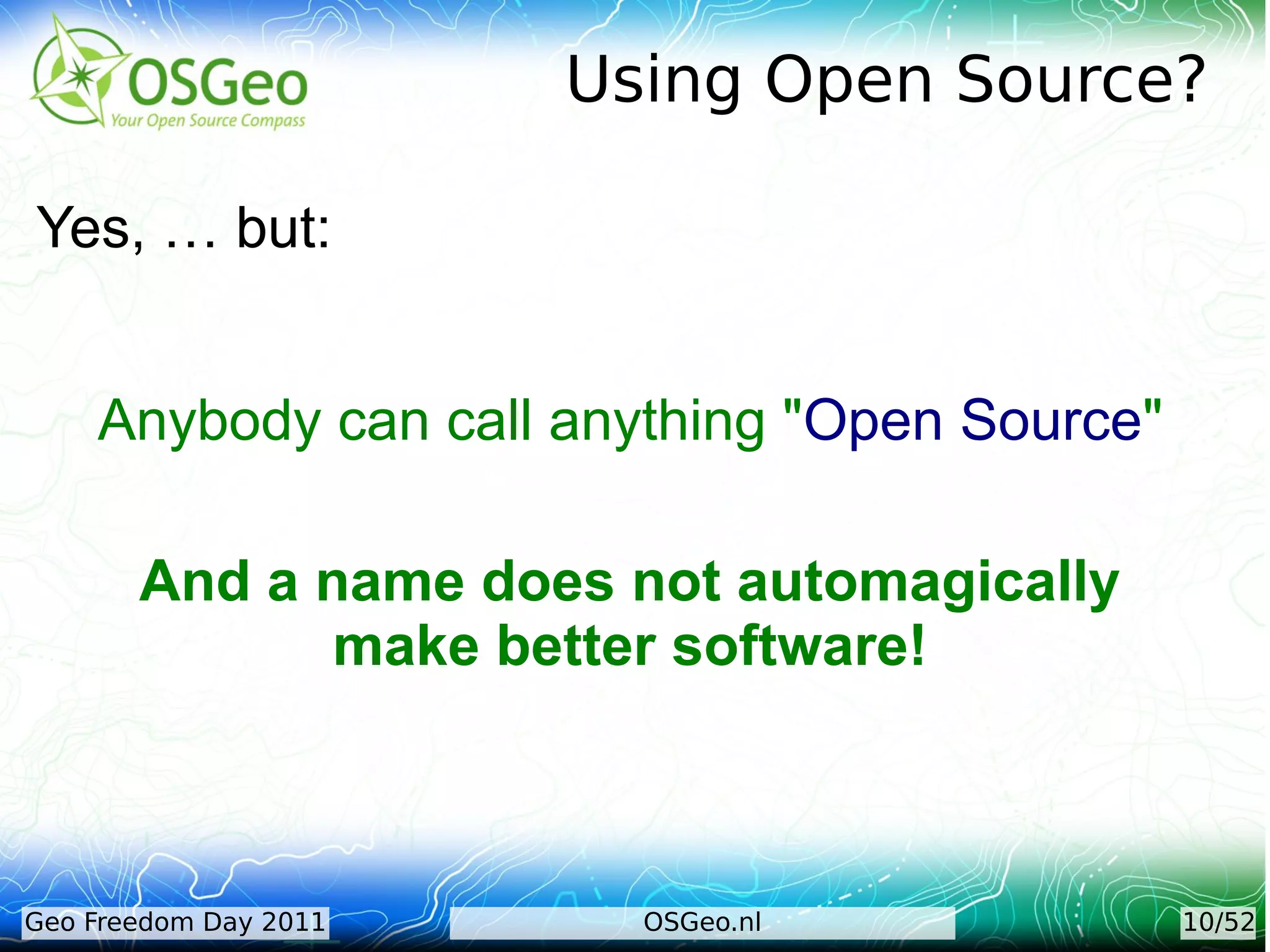
Bijzondere aandacht ... software uit OSGeo.org
projecten [maar niet als primair doel...].
[http://wiki.osgeo.org/wiki/Nederland]](https://image.slidesharecdn.com/osgeo-nl-geofreedomday-baarn-2011-just-111211092133-phpapp02/75/OSGeo-nl-Introductie-Geo-Freedom-Day-24-2048.jpg)

![Voor Wie
Iedereen:
gebruikers,
ontwikkelaars,
onderwijs,
overheid, bedrijfsleven, ..
en alle geinteresseerden (in nl taalgebied).
….
Netwerk met een zo rijk mogelijke mix van mensen.
[http://wiki.osgeo.org/wiki/Nederlands]](https://image.slidesharecdn.com/osgeo-nl-geofreedomday-baarn-2011-just-111211092133-phpapp02/75/OSGeo-nl-Introductie-Geo-Freedom-Day-26-2048.jpg)


The document provides an overview of OSGeo.nl and its mission to promote the use of open-source geospatial software and data within the Dutch-speaking community. It outlines OSGeo's goals, structure, activities, and resources for supporting FOSS4G projects. Additionally, it highlights the importance of quality control and community involvement in open-source geospatial initiatives.