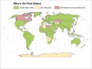
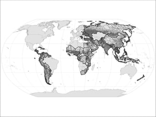
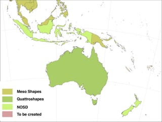
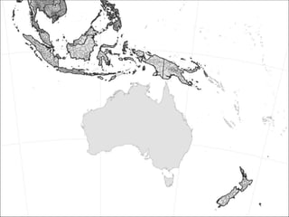
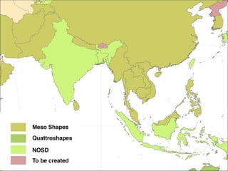
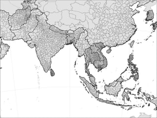
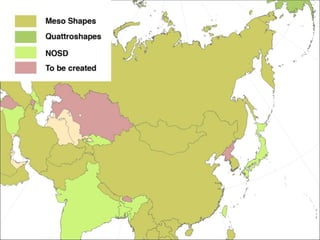
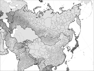
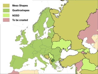
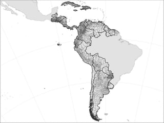
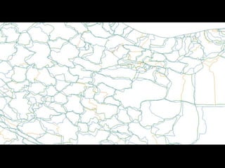
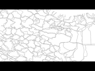
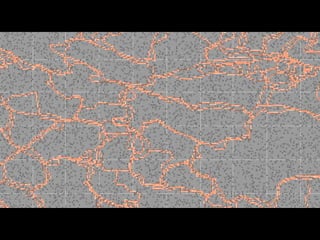
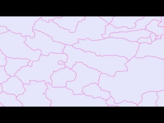
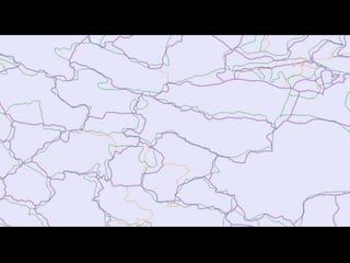
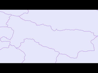
Who's on First:
Administrative Boundaries & Localities
Martin Gamache, Art of the Mappable
Nathaniel Vaughn Kelso, Mapzen
Who’s On First
https://whosonfirst.mapzen.com/
Quattroshapes
http://quattroshapes.com/
GAUL
http://www.fao.org/geonetwork/srv/en/graphover.show?id=12691&fname=GAUL.gif&
access=publicUL:
GADM
http://www.gadm.org/download
OSM
https://mapzen.com/data/borders/
EuroGeographics
http://www.eurogeographics.org/products-and-services/euroglobalmap
International Steering Committee for Global Mapping
https://www.iscgm.org/gmd/
Revolutionary GIS / Justin Meyers
https://revolutionarygis.wordpress.com/
Project Status
Process
“If we take the time to closely
examine open data efforts, it’s hard
to avoid a disheartening
conclusion: most open data isn’t.”
Jer Thorp
Open for Who? Medium .com Oct. 5, 2016
https://medium.com/memo-random/open-for-who-ce698a8de79c#.q14rrlo83
Thanks
Additional contributors:
Stephen Epps
Justin Meyers
https://github.com/whosonfirst-data/whosonfirst-
data
artofthemappable@gmail.com
@themappist

Who's on First: Adminstrative Boundaries and Localities

Editor's Notes

  • #45 Generalise & Smooth using Boyle and Chaiken algorythms in QGIS
  • #48 I’m still Canadian enough to believe that open means open. I’m with Open Knowledge International when they say that: “Open means anyone can freely access, use, modify, and share for any purpose.” Under this definition I’d argue that very few of our so-called open data projects are actually open, unless we manufacture a definition for ‘anyone’ which includes only people who look and think a lot like ourselves.