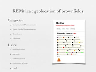
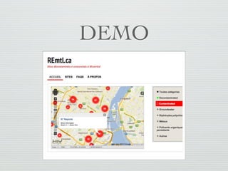
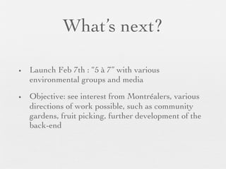
This document summarizes the REMtl.ca project which aims to create an open data map of brownfield sites in Montreal. It scrapes existing data from government sources and presents it on an interactive map to make it more accessible and useful for various users such as urban farmers, real estate developers, and researchers. The project was launched in February 2013 and its goals are to engage Montrealers and environmental groups and explore further directions and developments for the platform.