Download to read offline
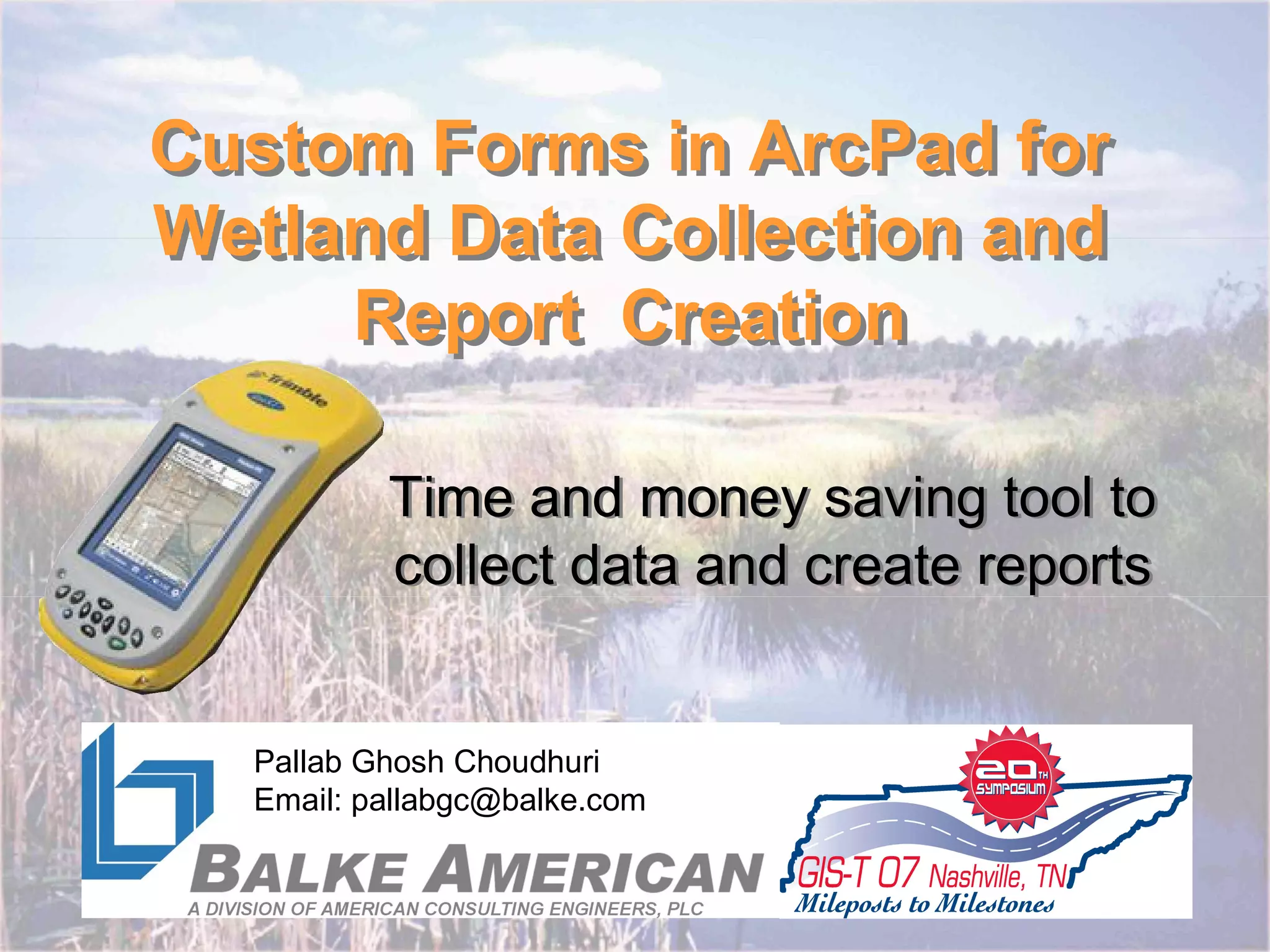
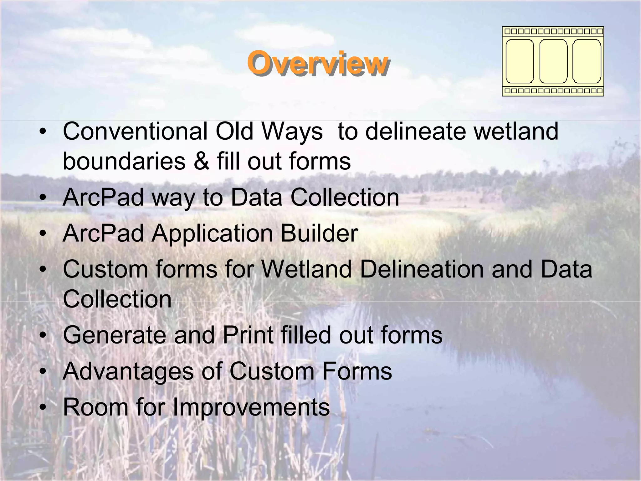
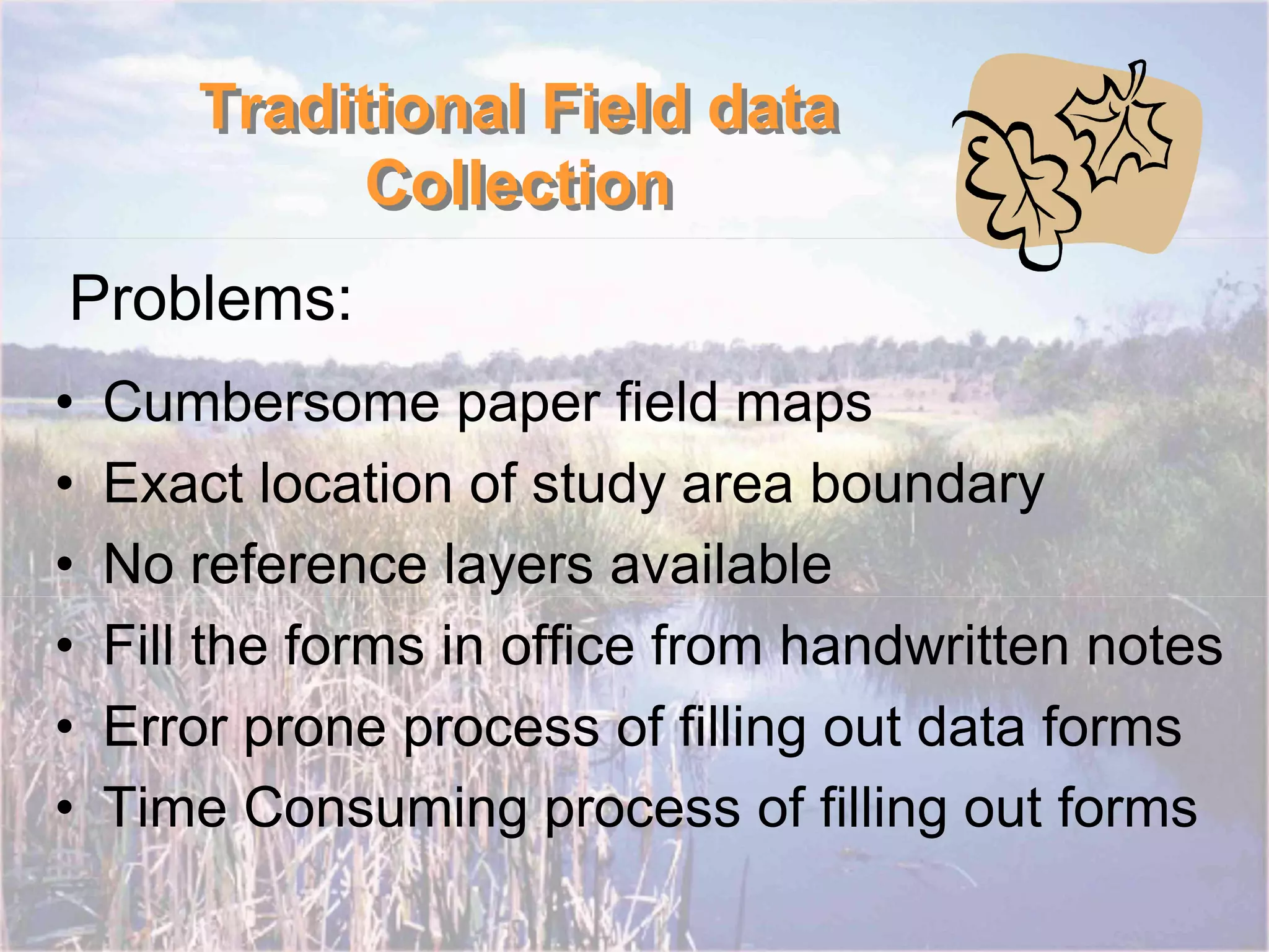
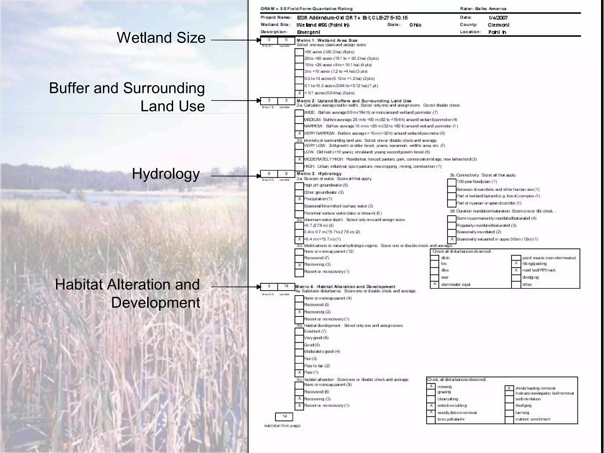
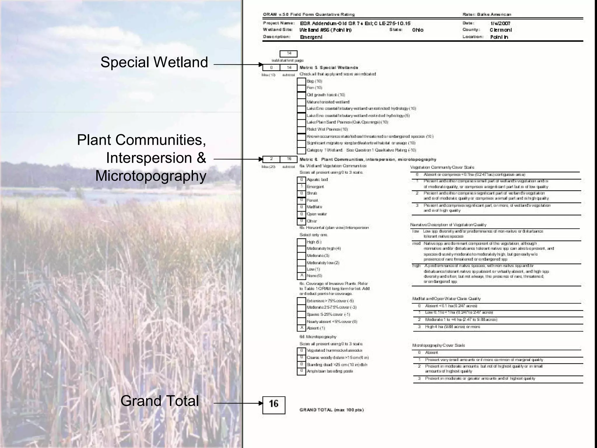
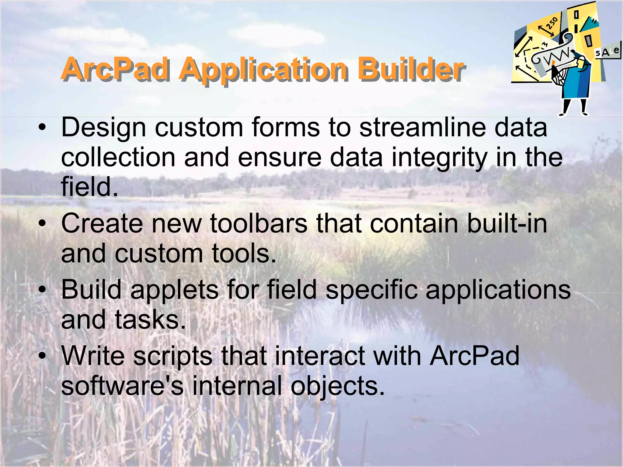
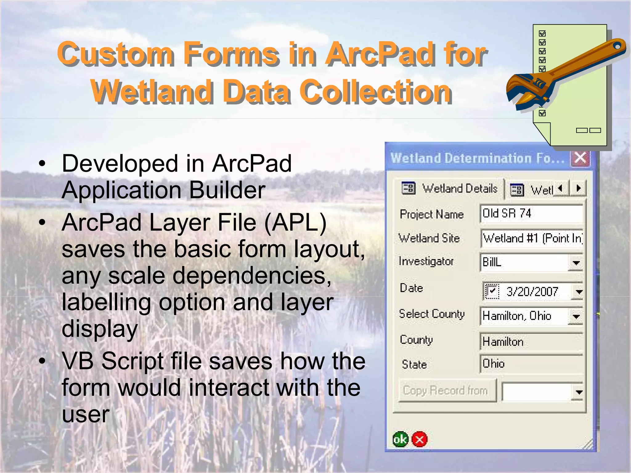
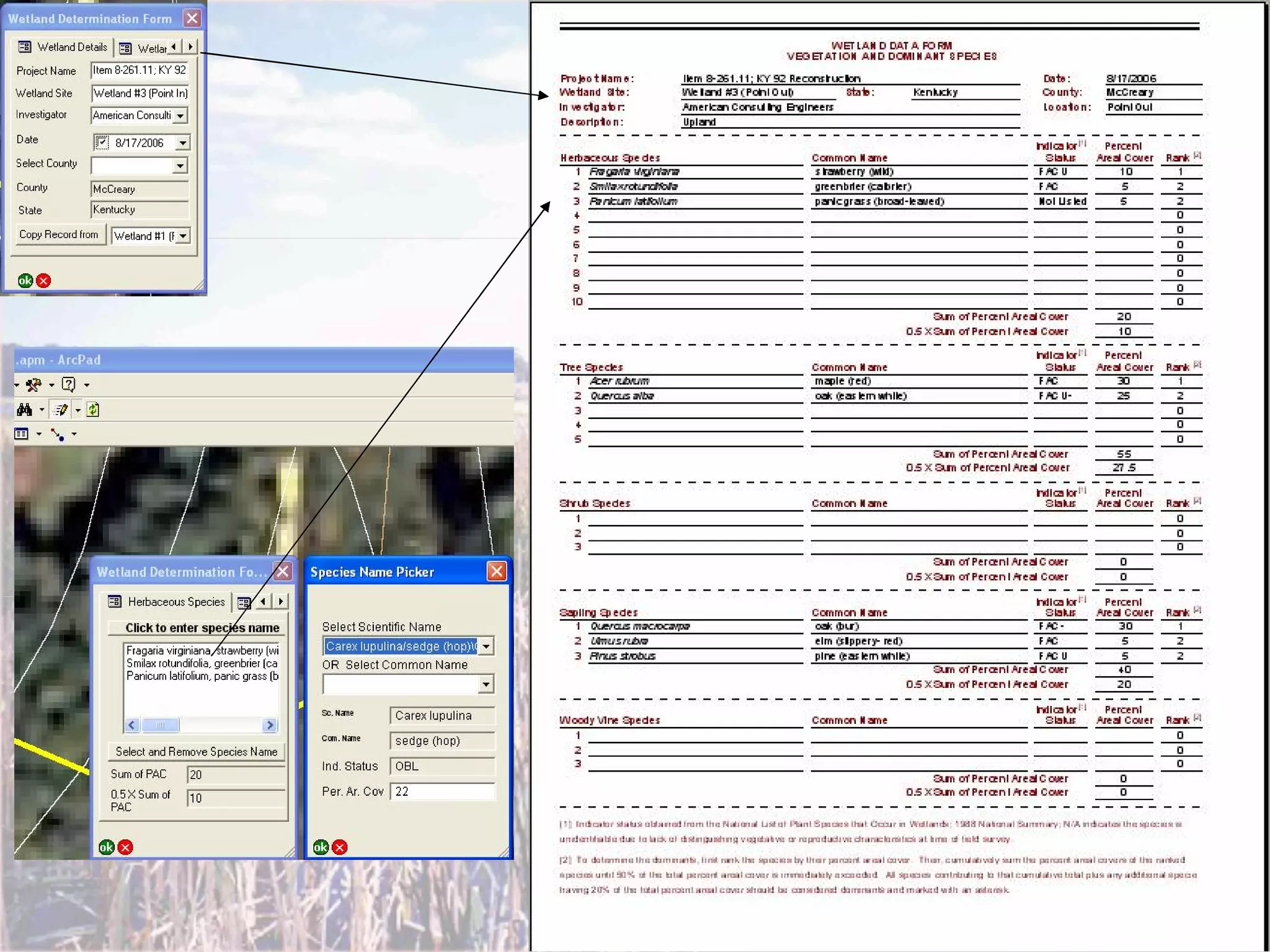
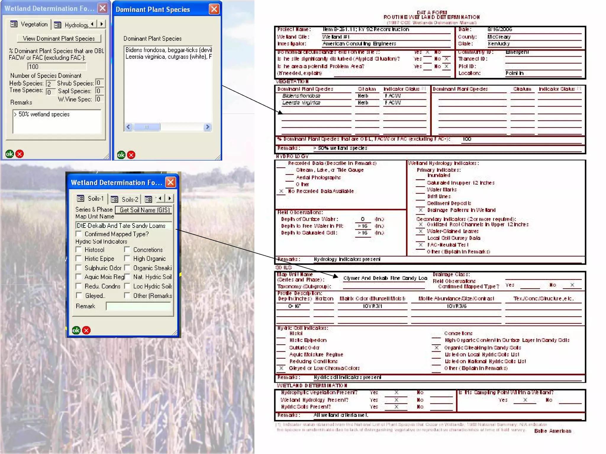
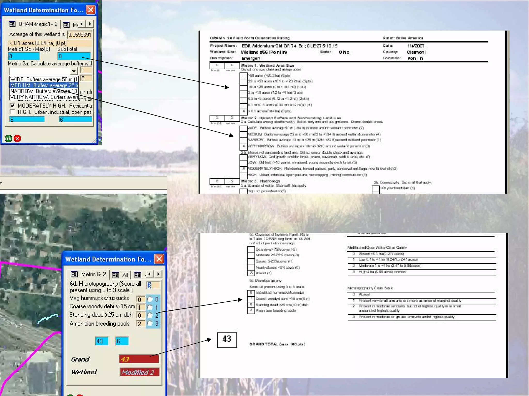
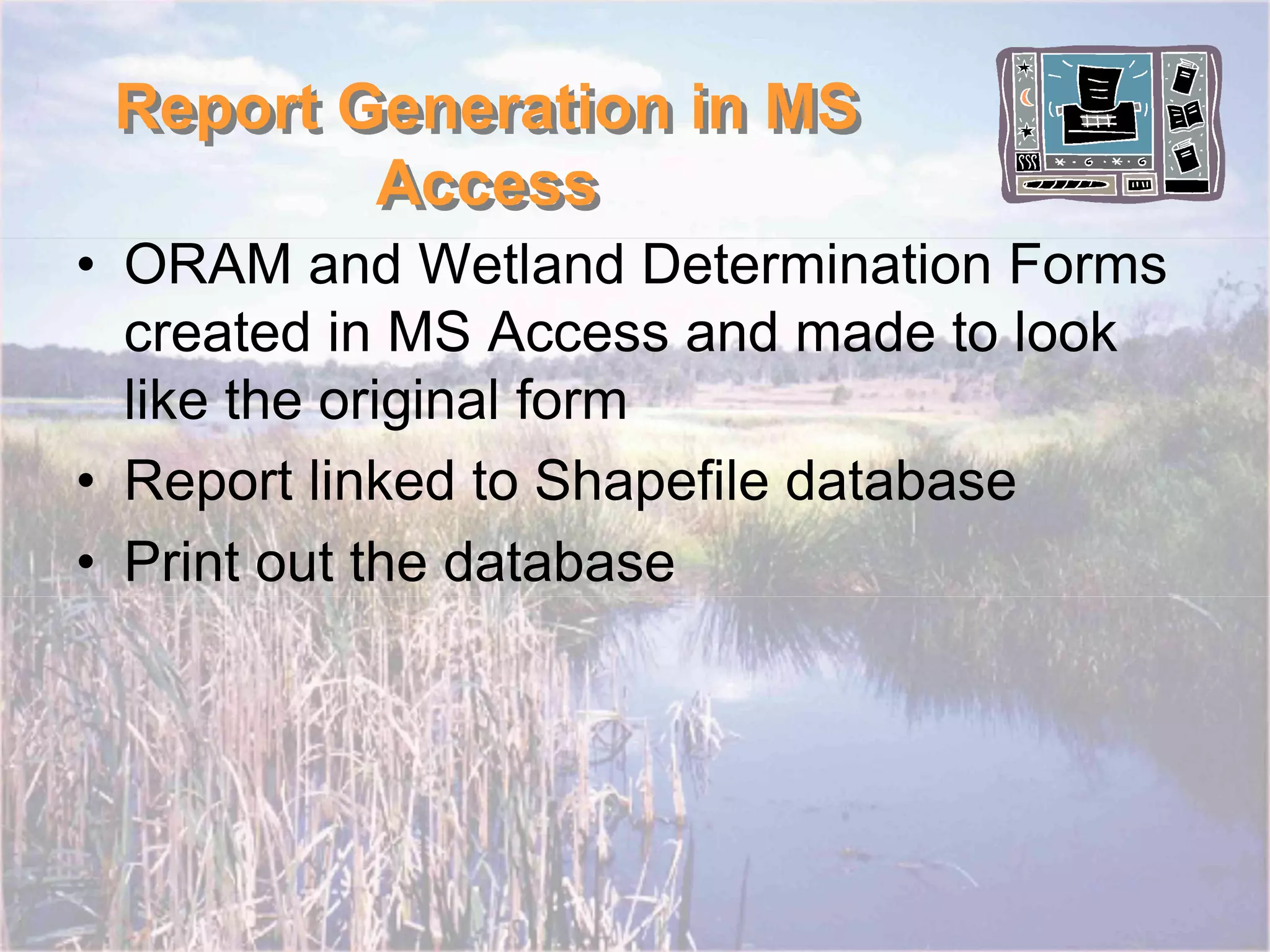

The document outlines the use of custom forms in ArcPad for efficient wetland data collection and reporting, presenting a modern solution to traditional cumbersome paper methods. It highlights the advantages of using ArcPad's application builder to streamline data entry and minimize errors, making the process faster and more accurate. Key features include a GPS integration and the ability to generate custom reports linked to a shapefile database.


