Download to read offline
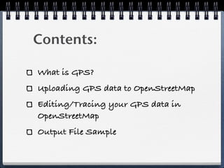

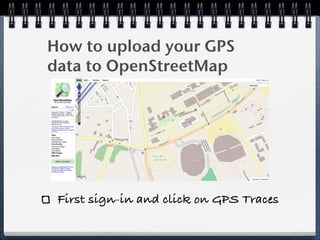
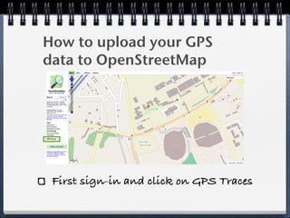
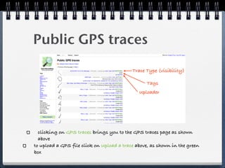
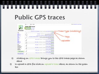
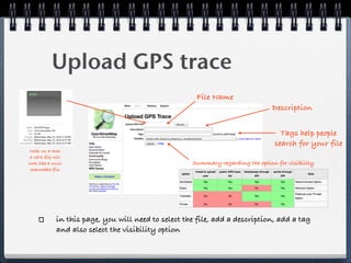
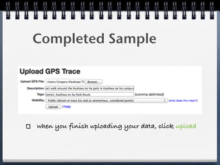
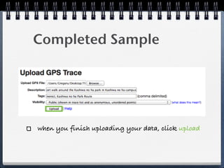
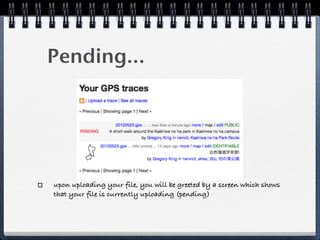
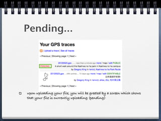
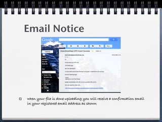
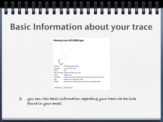
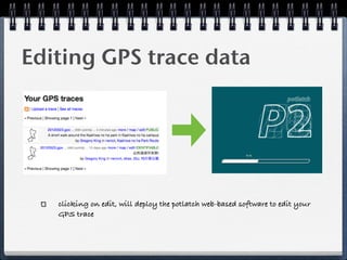
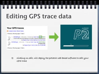
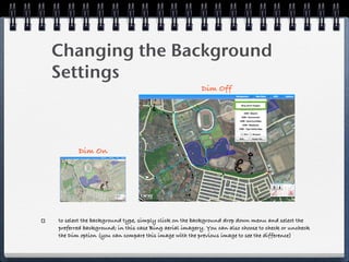
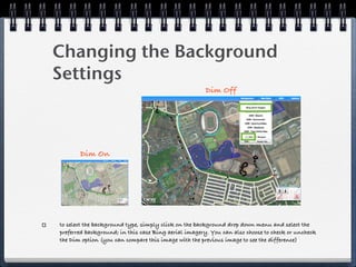
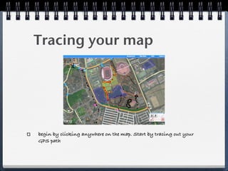
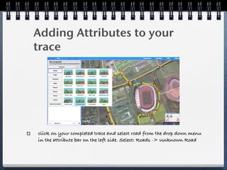
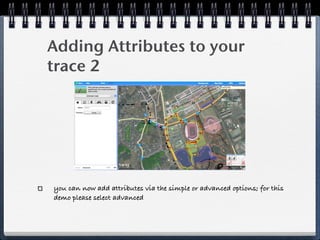
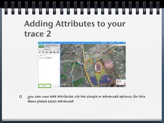
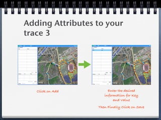


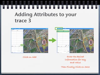

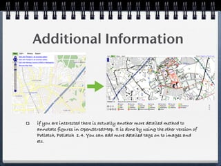
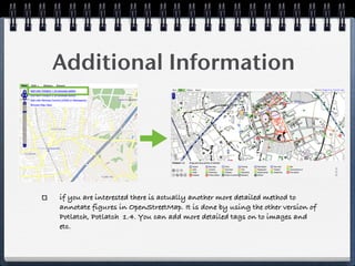


This document provides instructions for uploading and editing GPS data on OpenStreetMap. It discusses uploading a GPS file by clicking "GPS Traces" and then "Upload a Trace" on the OpenStreetMap site. The document also covers editing GPS trace data using the Potlatch web editor, which allows tracing GPS paths and adding attributes like road types. Basic information about the uploaded trace can then be viewed on the site.


![5G Explained! A High Level Overview [Introduction]](https://cdn.slidesharecdn.com/ss_thumbnails/5gexplainedahighleveloverview-260119165306-cc137a3e-thumbnail.jpg?width=640&height=640&fit=bounds)


