Download to read offline


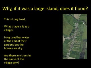
![Somerset Levels
• Originally below sea level and a wetland
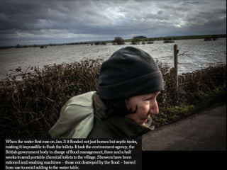
ecosystem - Carr
• Allegedly King Alfred hid here
• Sedges grown for basket making, cider and
peat digging all industries
• Drained for farming
• Main drain = King Sedgemoor drain dug [1795]
south drain added after this.](https://image.slidesharecdn.com/muchelney4images-150316122842-conversion-gate01/85/Muchelney-under-water-29-320.jpg)
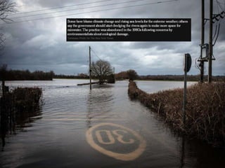
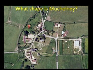
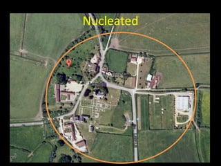


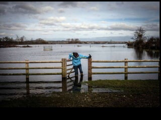
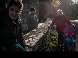

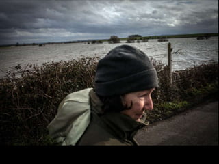
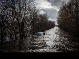
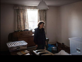
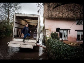

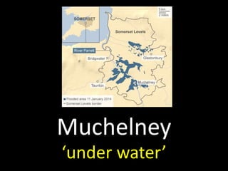
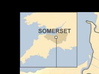
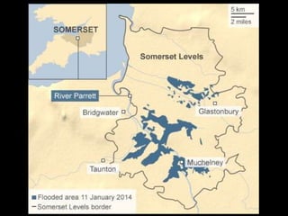
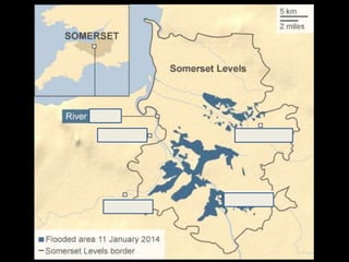
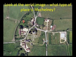
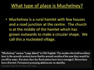
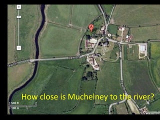
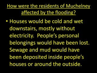
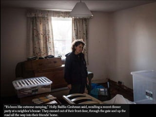
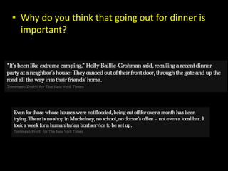
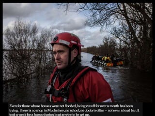
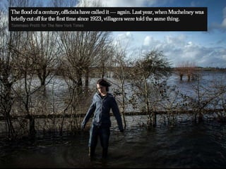
The document discusses the village of Muchelney in Somerset, England, which has experienced flooding. Muchelney is a nucleated rural village located on slightly higher ground near a river, with its church built on even higher ground to remain dry during floods. The document describes how residents would be affected by flooding, with water entering homes and destroying belongings, as well as the roles of emergency responders and efforts to drain the land and prevent future flooding in the Somerset Levels region.


