Download as KEY, PPTX


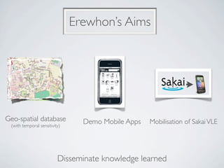


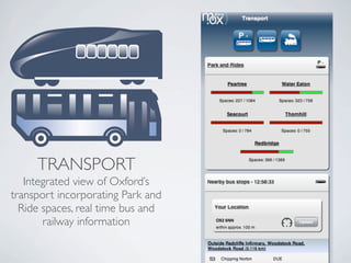
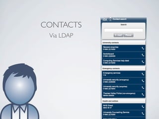
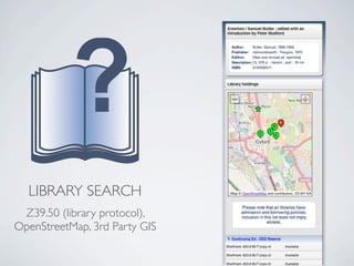
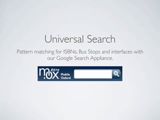
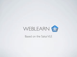
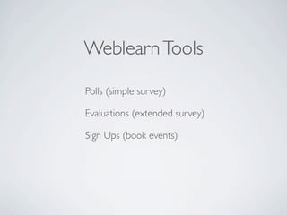
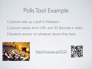
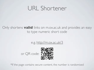
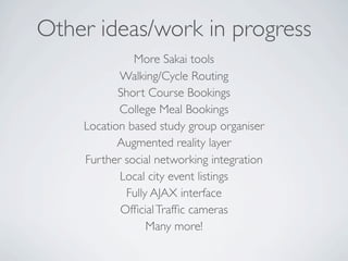
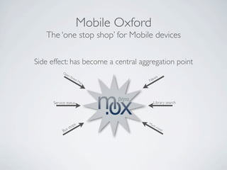
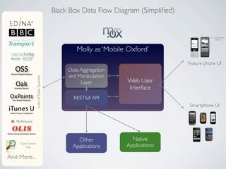
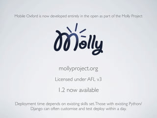
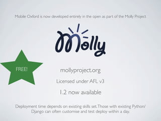

This document is a case study about the Mobile Oxford project from the University of Oxford. It describes how Mobile Oxford was created as an open source and accessible mobile website to provide services to students, staff and visitors of the university. It aggregates data from various university systems and provides features like transport information, contacts, library search, and tools from their learning management system. Mobile Oxford is now developed as part of the open source Molly Project to ensure long term sustainability and benefit other universities.


