Download as PDF, PPTX


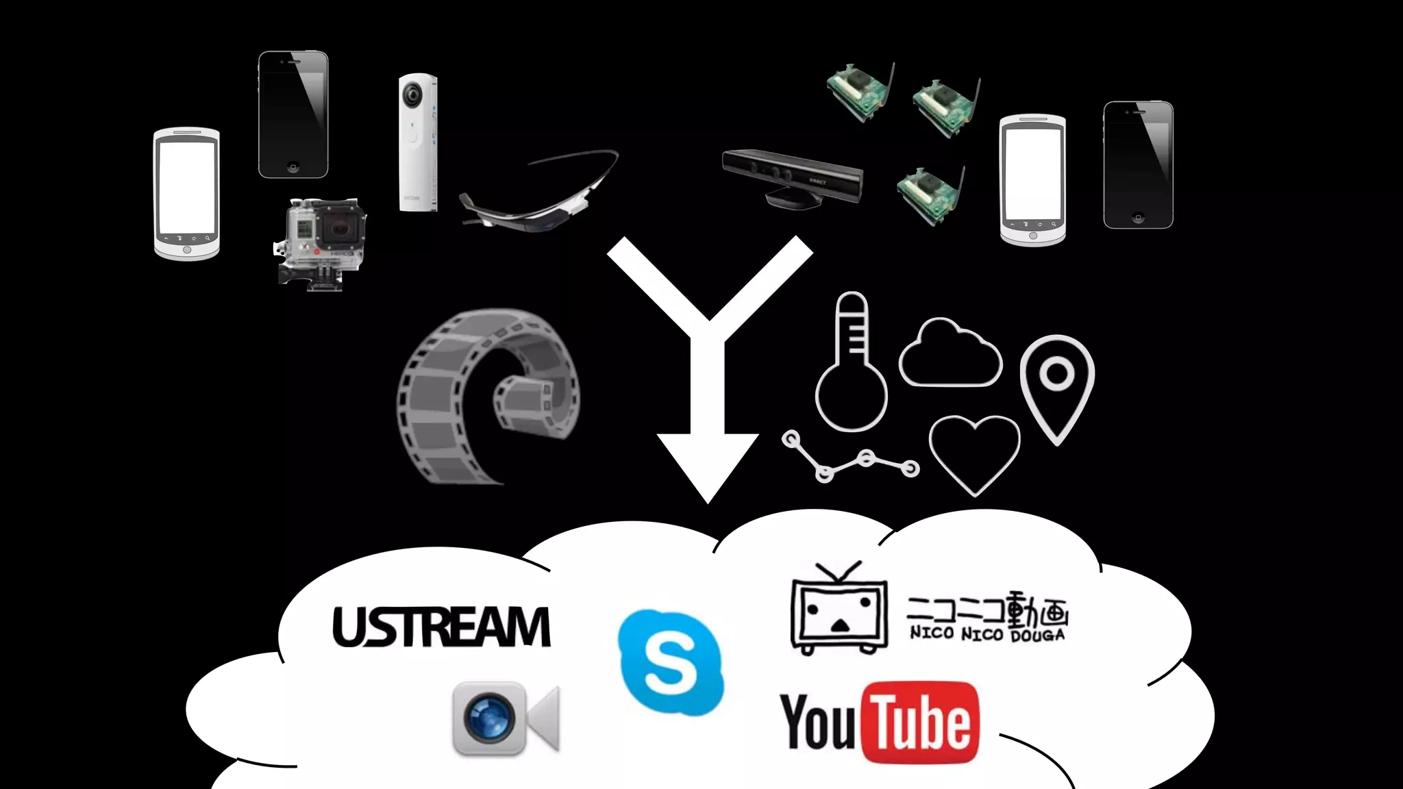

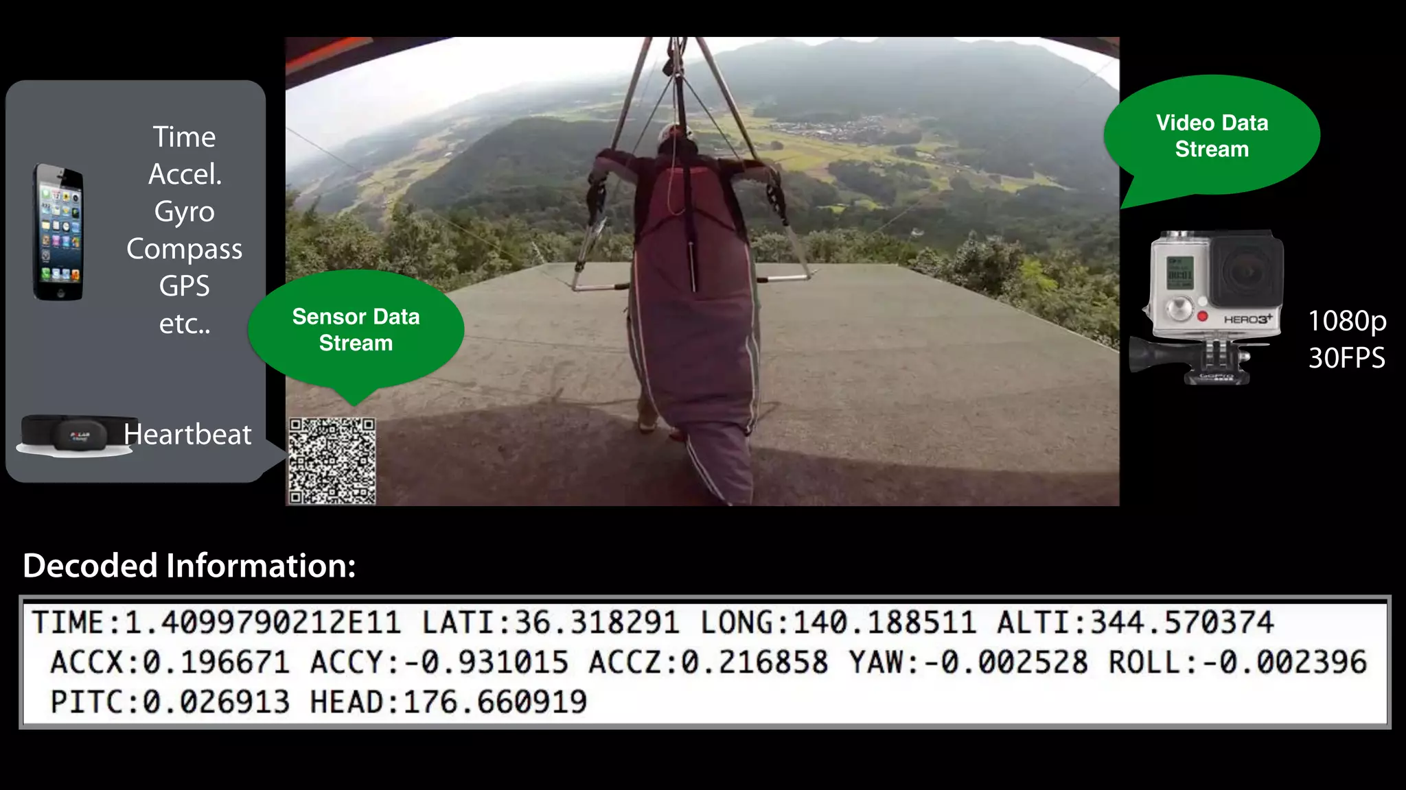
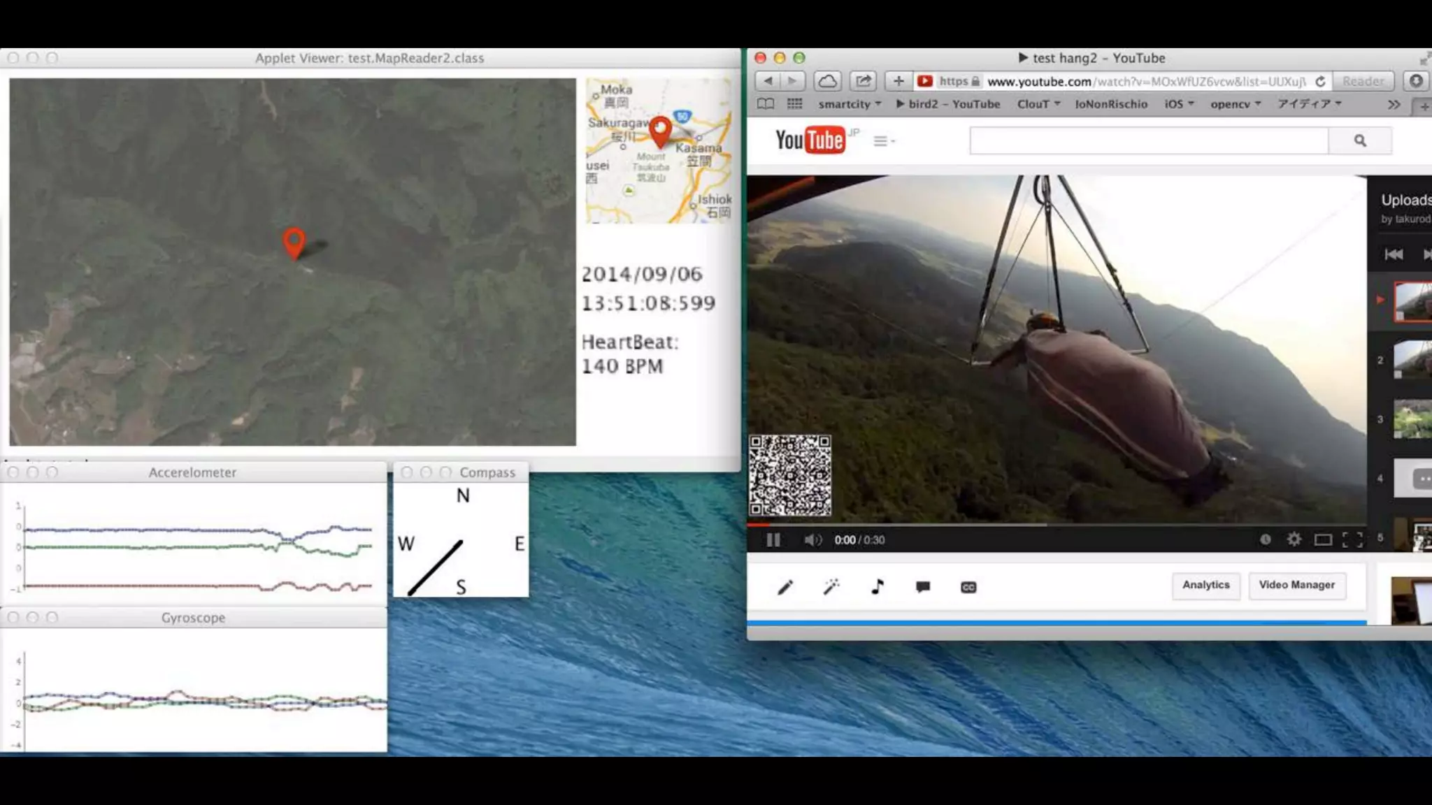
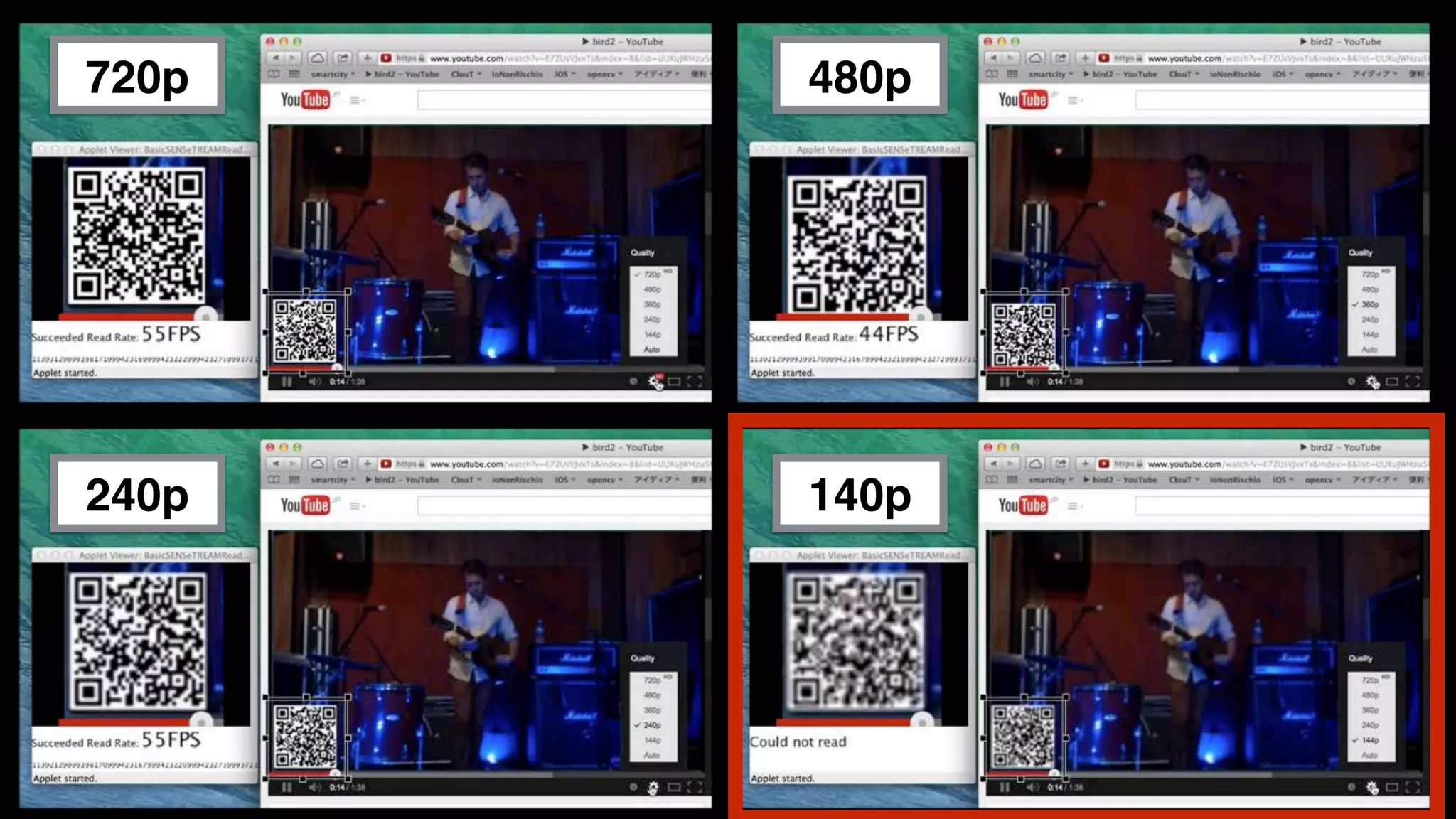
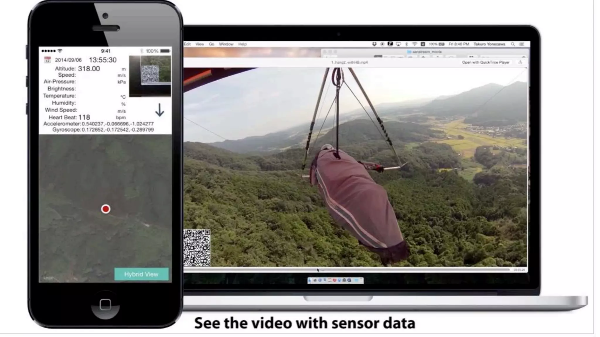


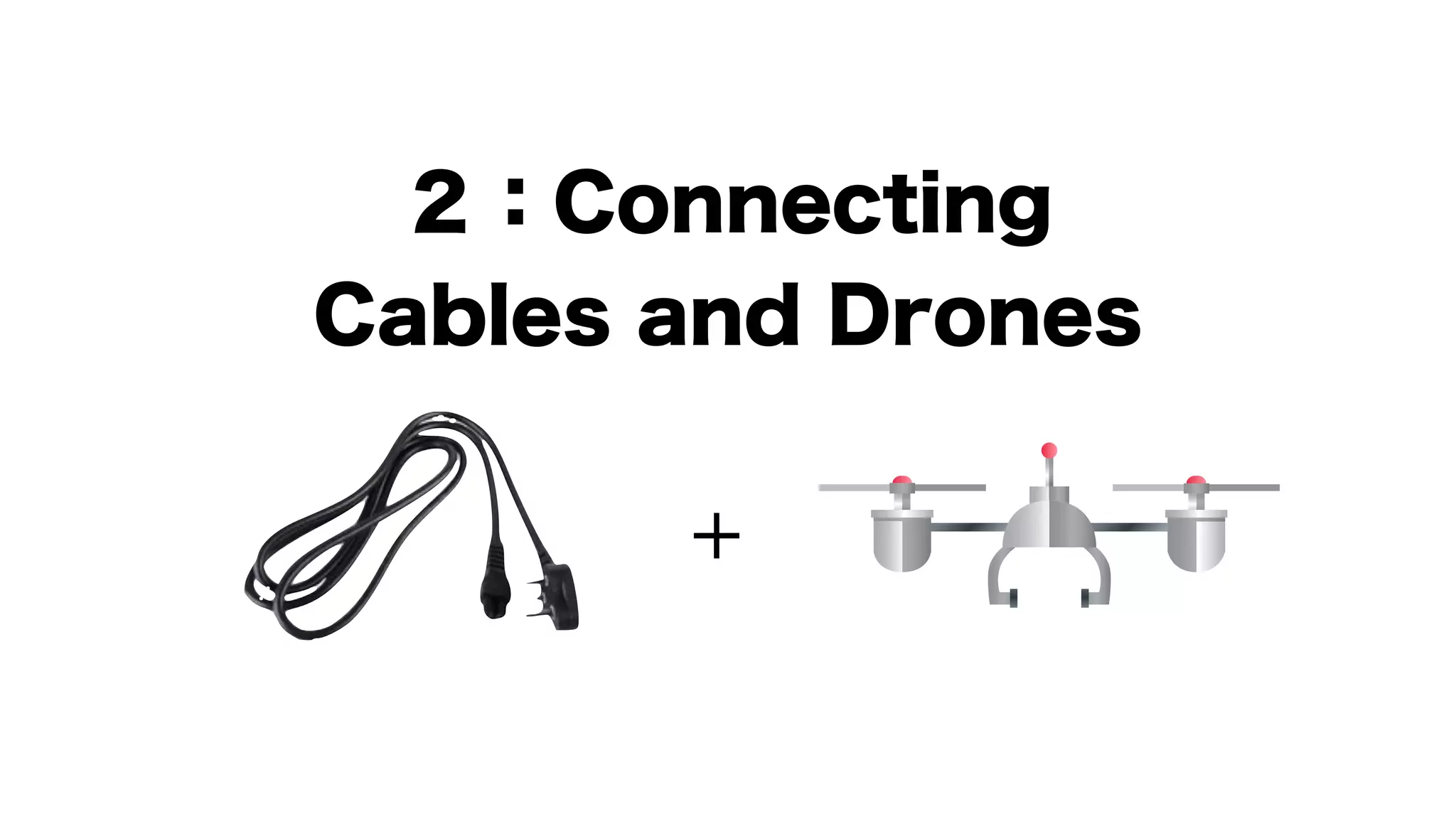
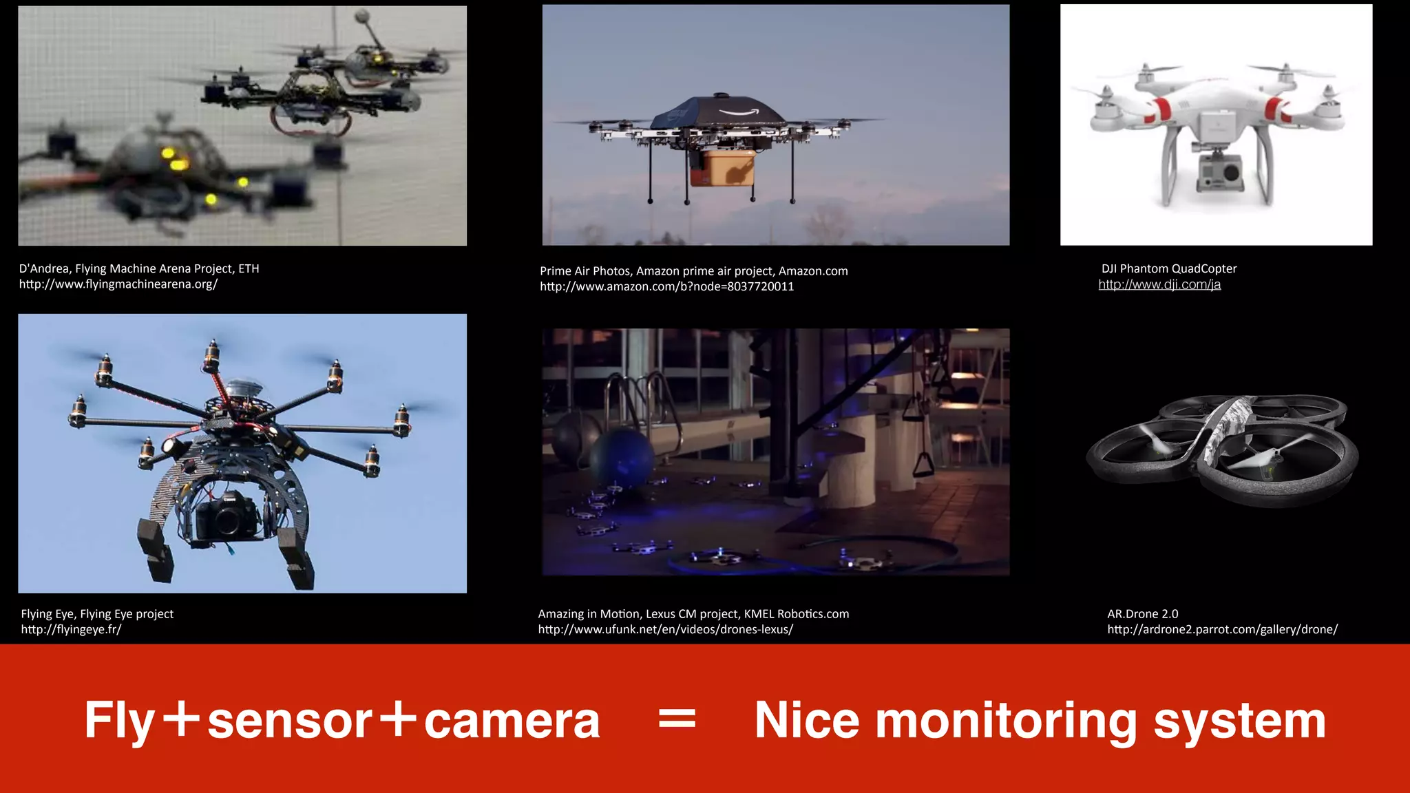
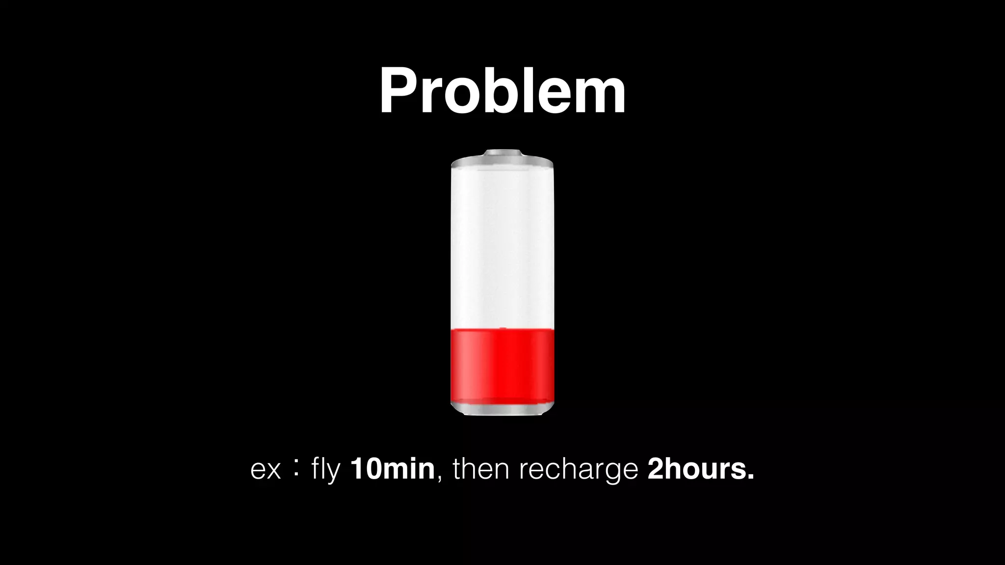
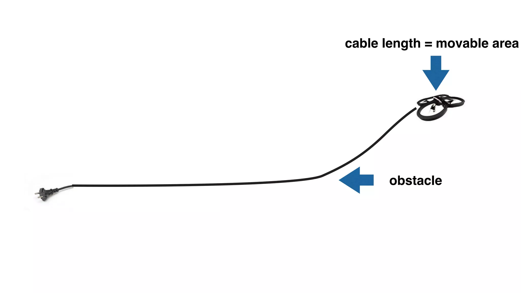
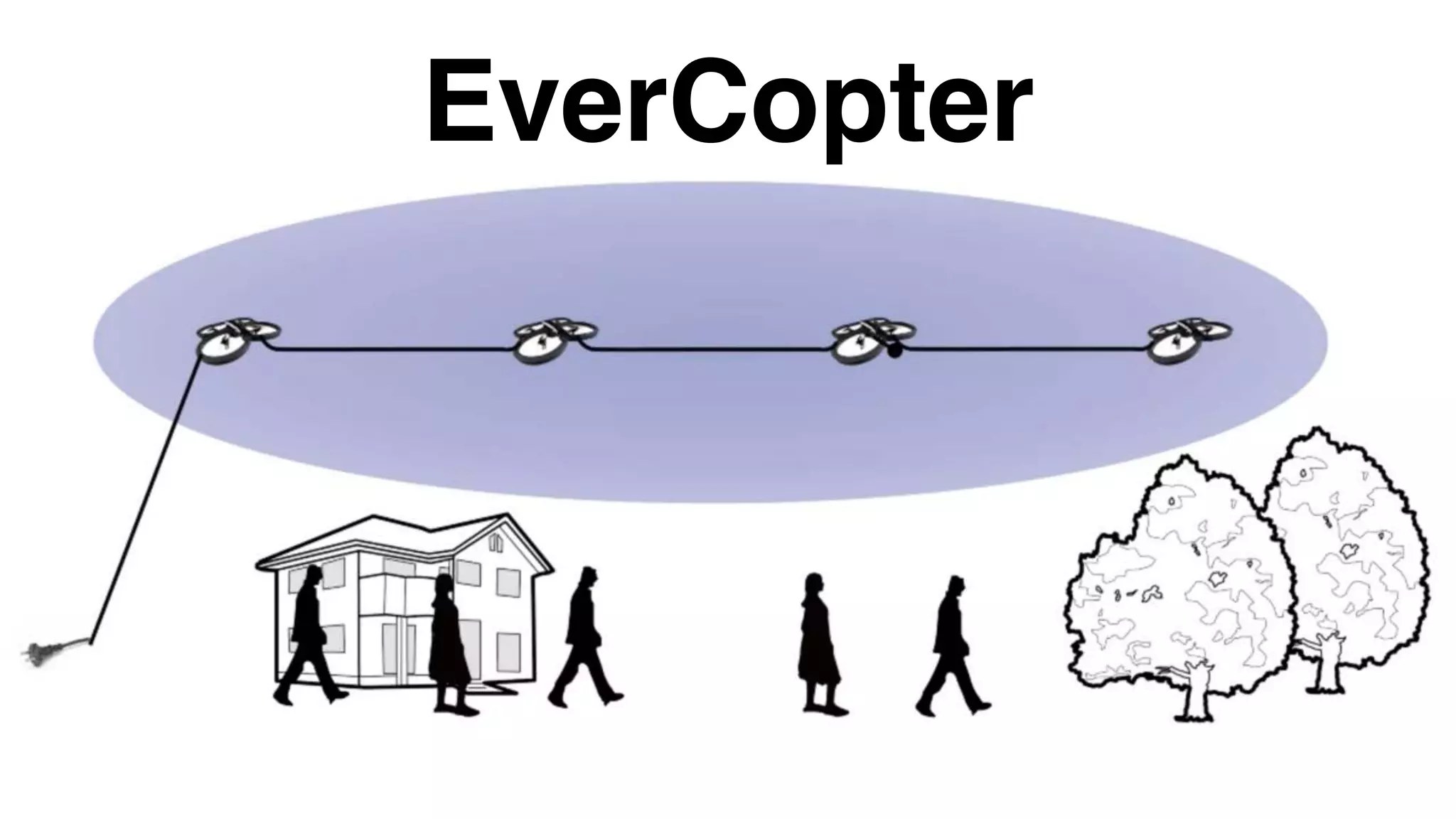
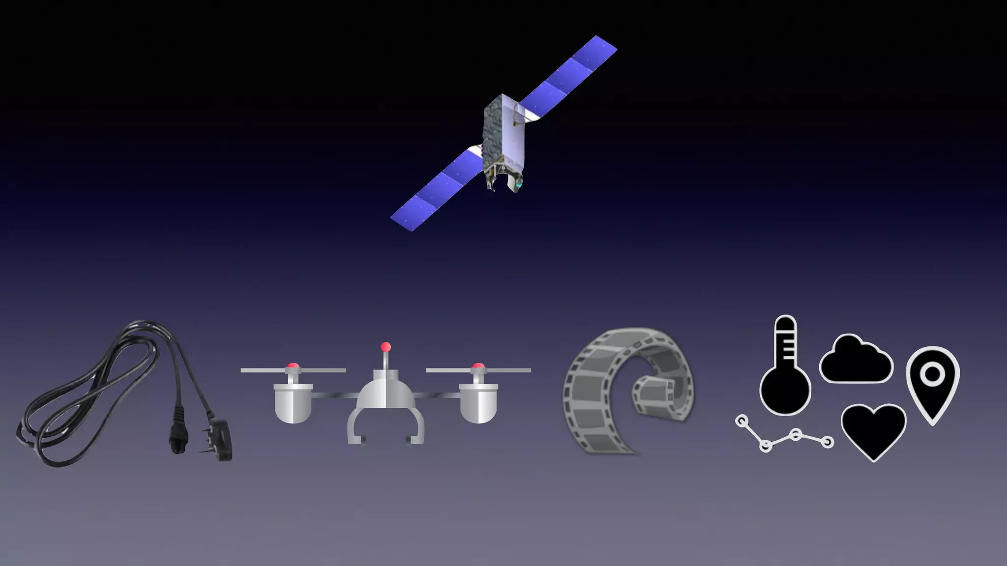
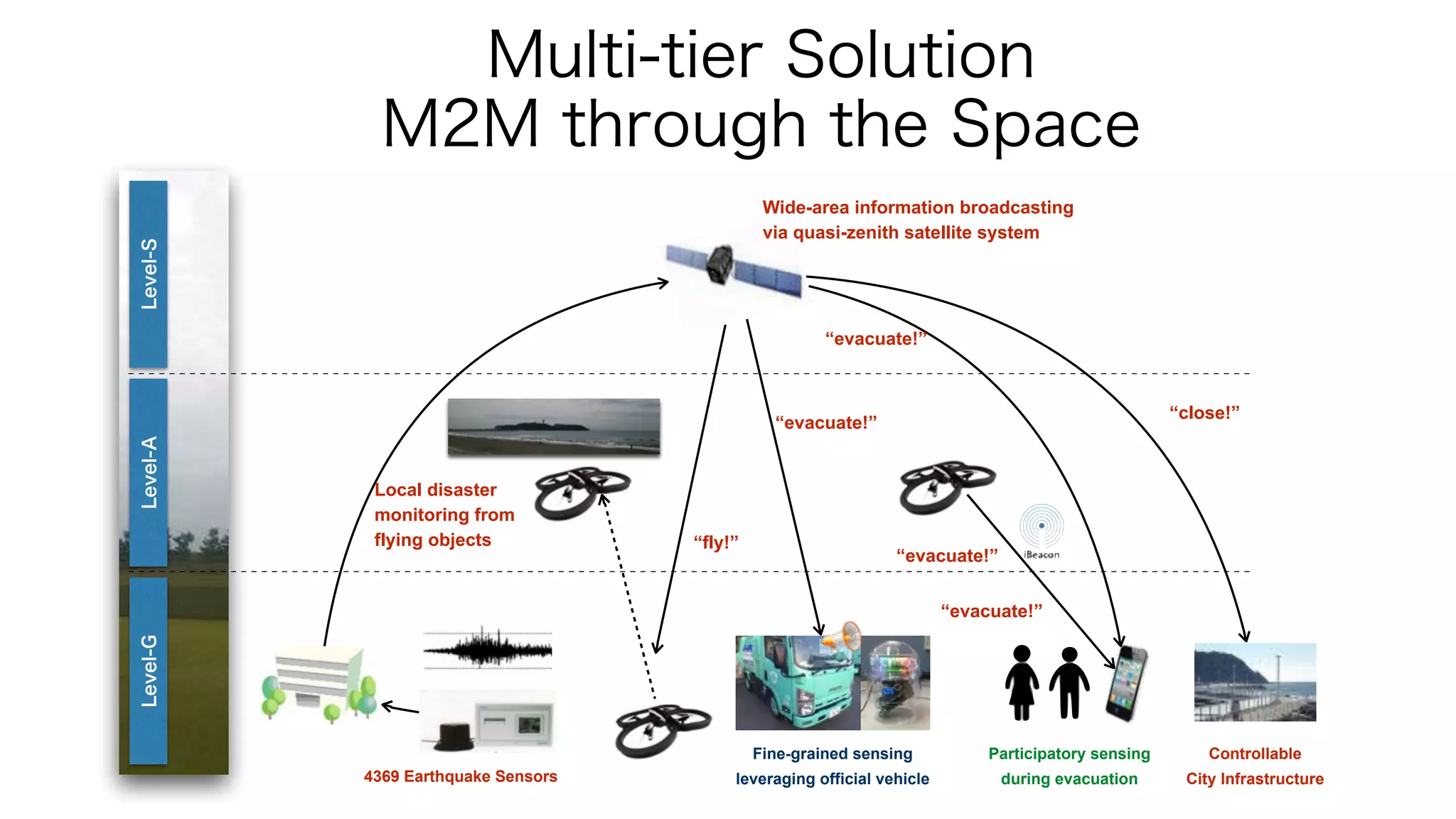


This document discusses using drones and sensors to make cities smarter. It proposes connecting video cameras and sensors on drones to stream live sensor and video data. This would allow drones to monitor cities around the clock while transmitting important information. It also addresses challenges like limited flight times due to battery life that can be overcome by new technologies like wired drones that could charge while flying and transmit data over long cables. The overall goal is to develop multi-tier smart city solutions using drones, satellites, vehicles and more to collect and share sensor data across space, air, and ground.


![Coded Agents – with UiPath SDK + LangGraph [Virtual Hands-on Workshop]](https://cdn.slidesharecdn.com/ss_thumbnails/codedagentsdeck-251215155422-5497c599-thumbnail.jpg?width=640&height=640&fit=bounds)


