Download to read offline
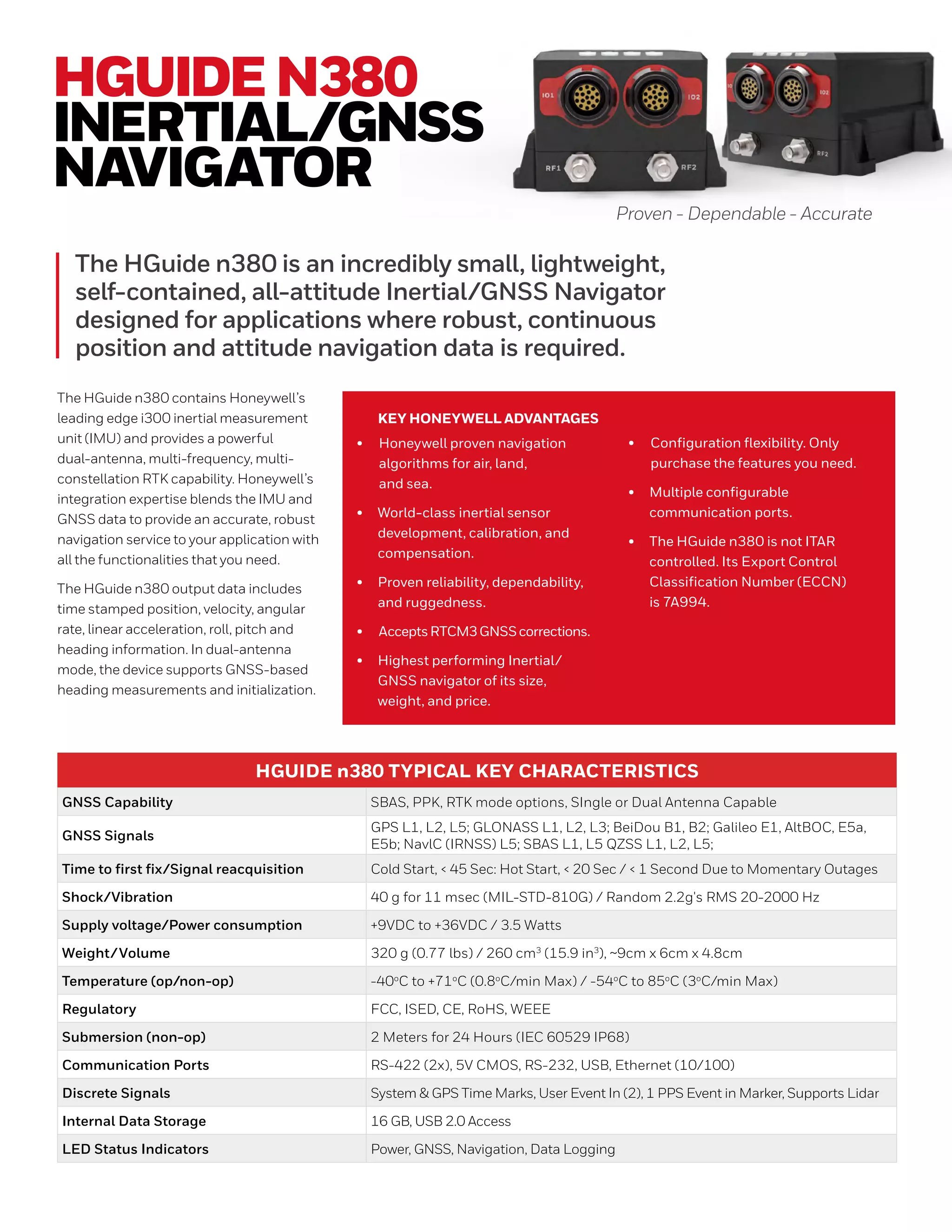
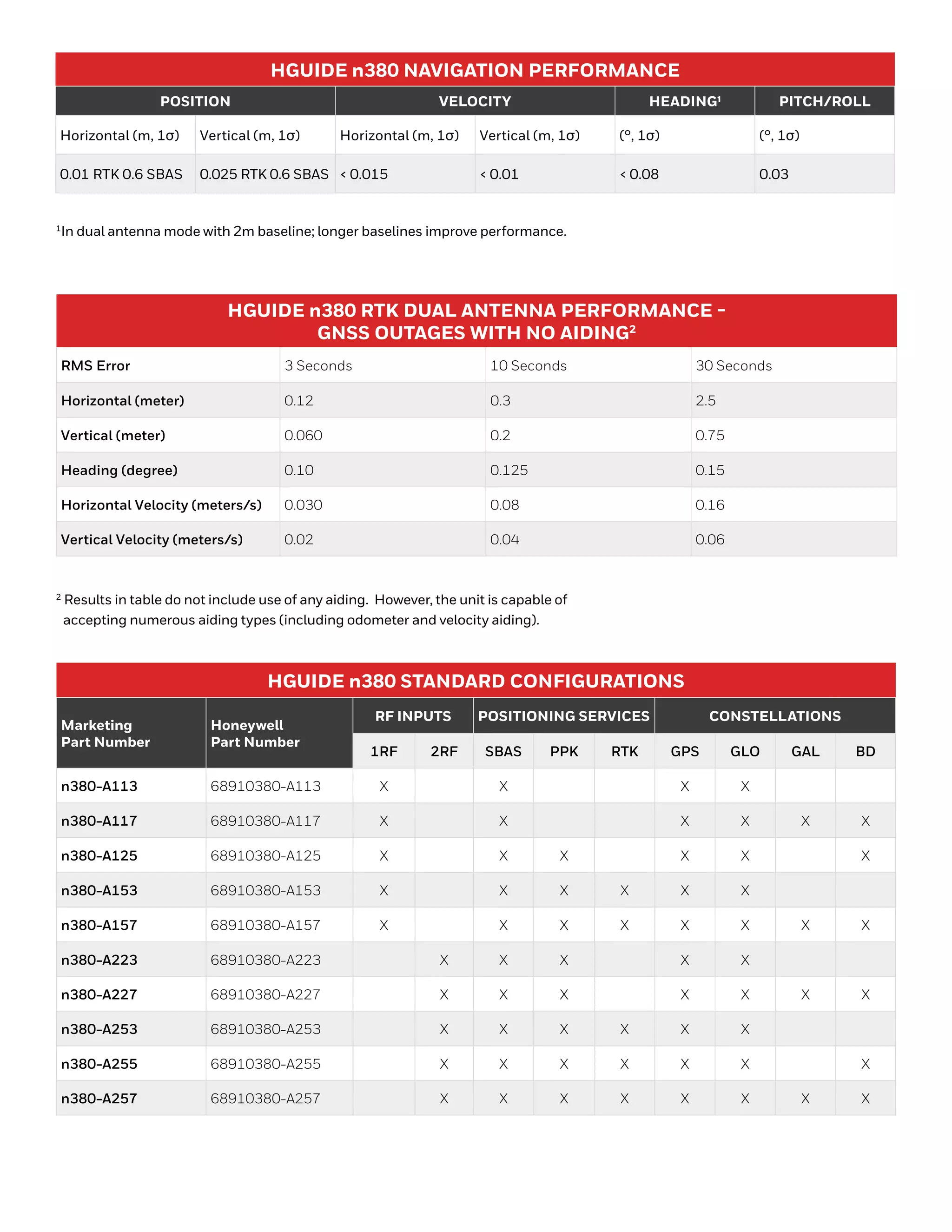


The HGuide N380 is a compact inertial/GNSS navigator with a dual-antenna configuration, offering advanced RTK capabilities for precise navigation across various applications. It integrates Honeywell's i300 IMU with multi-frequency GNSS signals, providing reliable performance in diverse environments. The device features numerous communication ports, extensive configuration options, and can withstand harsh conditions, making it suitable for demanding navigation tasks.


