Download to read offline
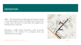
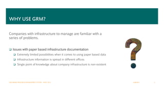


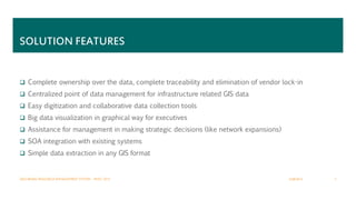


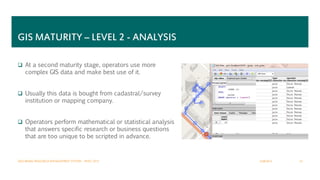


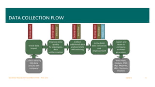


The document outlines the importance of a Geo-based Resource Management (GRM) system for companies managing infrastructure, highlighting issues with traditional paper-based systems, data collection, and analysis. It emphasizes the benefits of a dedicated GRM solution tailored to each company's needs, promoting improved data management and GIS maturity across three development levels. Additionally, it describes deployment options and the company's commitment to providing customizable solutions while emphasizing their competitive pricing in the international market.