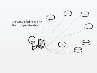
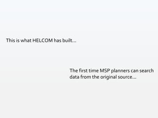
Download to read offline


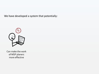
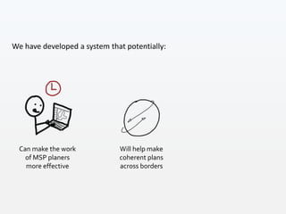
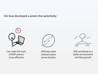
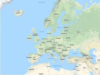
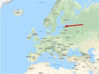
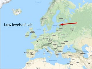
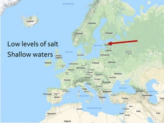
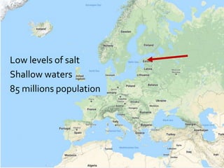
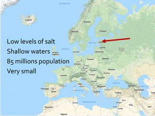
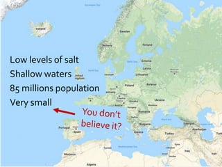
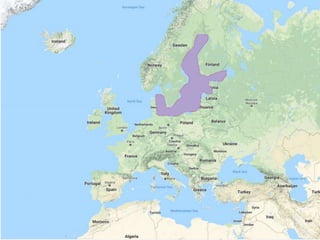


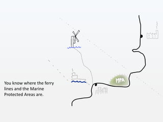

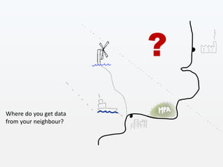
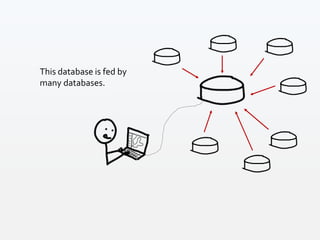
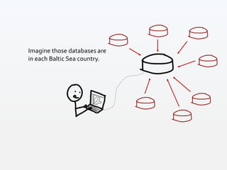
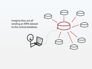
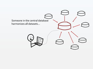


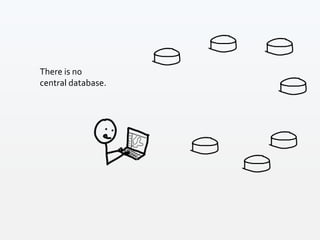


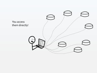
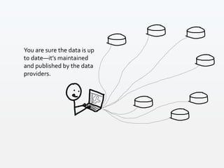


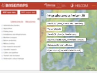

The HELCOM Secretariat has developed a maritime spatial planning (MSP) system that enables users to access and download data and metadata in line with Open Geospatial Consortium standards. This system is intended to facilitate coherent planning across borders and improve the effectiveness of MSP planners through easier access to real-time, decentralized data from various Baltic Sea countries. The initiative aims to contribute to better environmental outcomes and support blue growth in the fragile Baltic Sea region.


