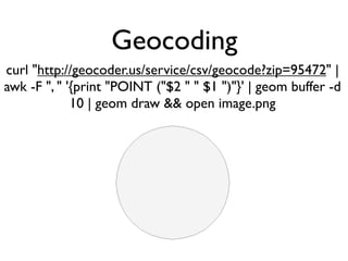
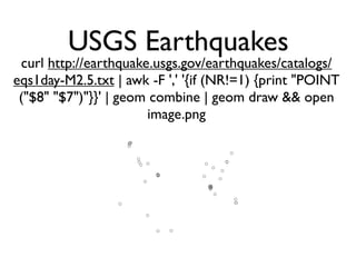
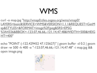
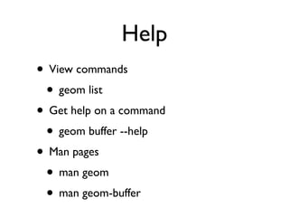
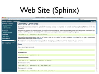
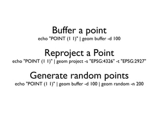
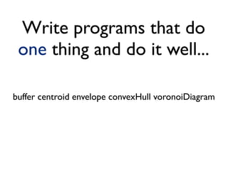
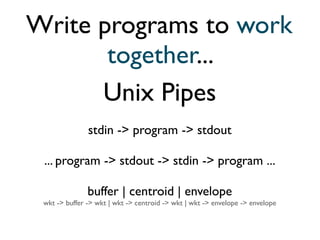
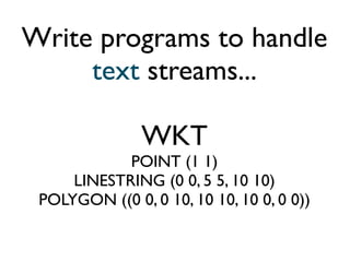
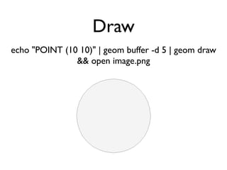
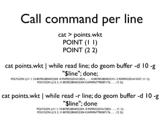
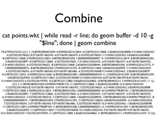
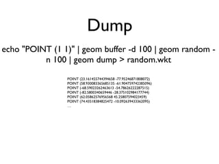
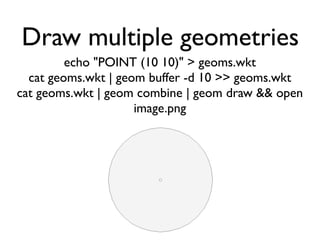
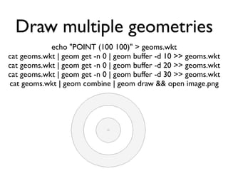
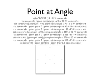
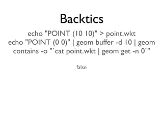
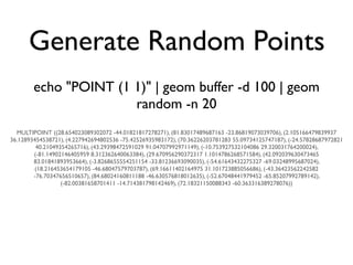
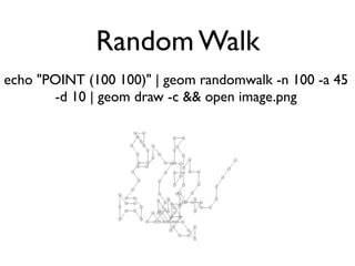
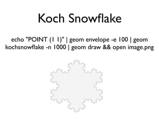
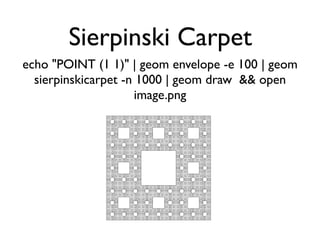
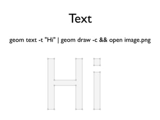
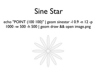
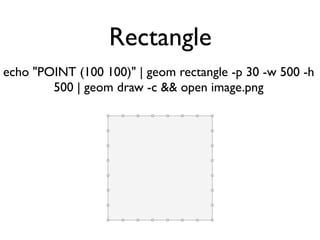
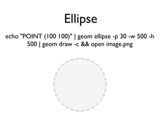
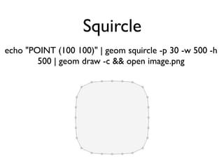
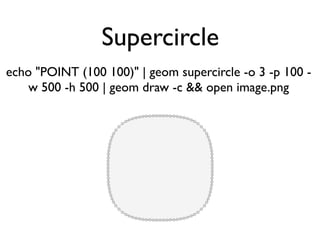
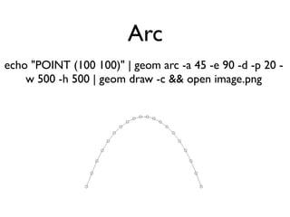
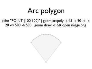
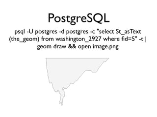
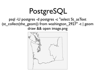
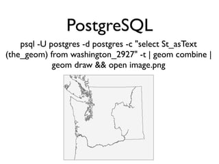
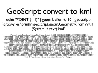
The document describes a command line application called "geom" for performing geometry operations on Well-Known Text (WKT) representations of geometric objects. It lists various commands for buffering, projecting, combining, drawing, and generating random geometries. The commands can be chained together using Unix pipes to perform multi-step operations on geometric objects encoded as text streams.

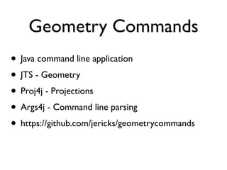
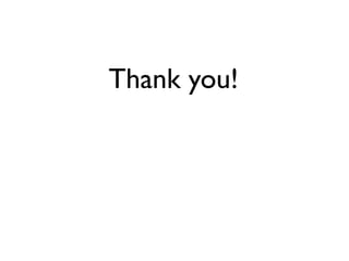
![GeoScript: write shapefile
echo "POINT (1 1)" | geom buffer -d 100 | geom random -
n 100 | geoscript-groovy -e "new
geoscript.workspace.Directory('.').create(new
geoscript.feature.Schema('random',
[['the_geom','Point','EPSG:4326']])).add
(geoscript.geom.Geometry.fromWKT
(System.in.text).geometries.collect{new
geoscript.feature.Feature(['the_geom': it],null)})"](https://image.slidesharecdn.com/geometrycommands-130922194024-phpapp01/85/Geometry-Commands-39-320.jpg)