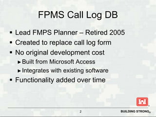
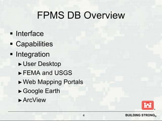
This document describes a spatially enabled floodplain management database created for the Huntington District of the US Army Corps of Engineers. The database was created to replace a paper call log and has been expanded over time. It integrates with GIS software and allows users to document calls, lookup locations, access FEMA and USGS resources, and coordinate response more efficiently. The database provides benefits like time savings, increased accuracy, and improved mapping capabilities to support the district's floodplain management work.