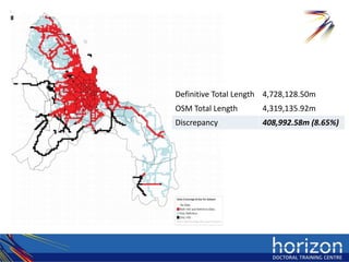
Download to read offline

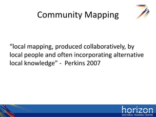
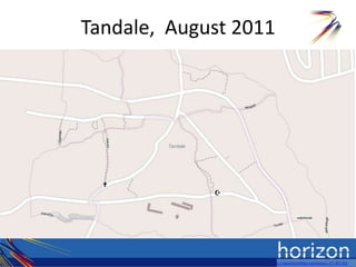
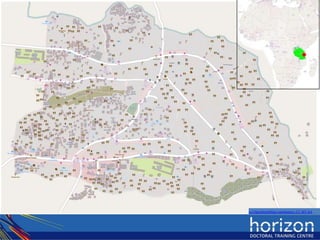
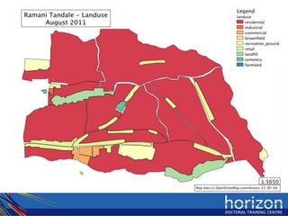
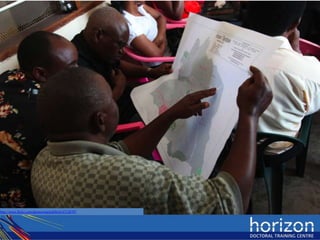
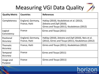
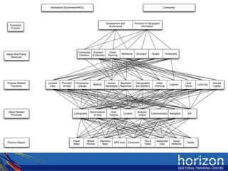
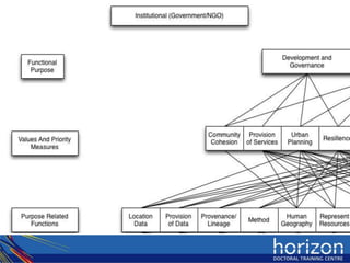
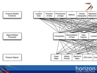
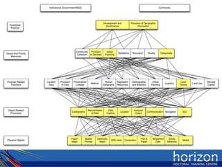

The document discusses community mapping as a socio-technical work domain. It defines community mapping as local mapping produced collaboratively by local people, often incorporating alternative local knowledge. It examines methods for measuring data quality in volunteered geographic information (VGI) when there is no comparative dataset. Finally, it proposes applying work domain analysis, a holistic approach to understanding a system, to community mapping and its drivers and values.


