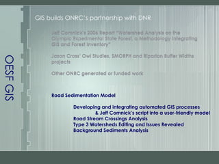
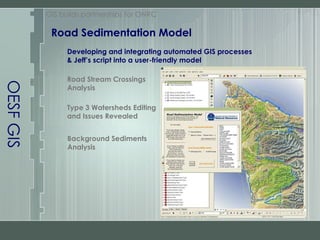
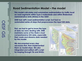
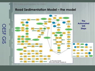
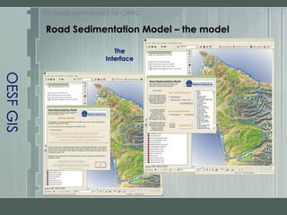
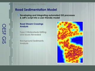
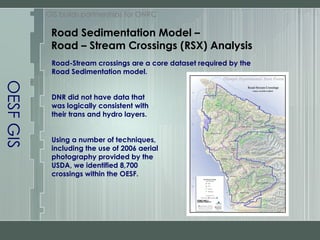
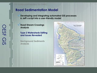
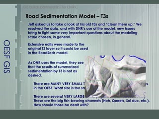
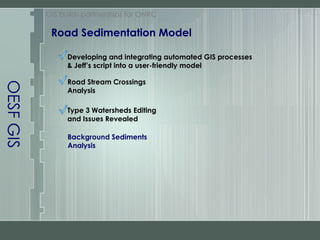
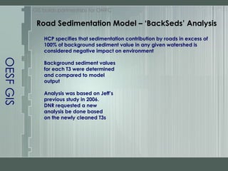
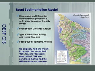
The document outlines the development of an automated GIS model for analyzing road sedimentation in the Olympic Experimental State Forest (OESF), integrating previous studies and data from the Department of Natural Resources (DNR). It details the creation of a user-friendly interface that addresses specific watershed issues and the challenges encountered in data consistency and watershed sizing. The project demonstrates the effective collaboration between OESF GIS and DNR to enhance forest management practices through improved GIS tools and analysis.