Download to read offline
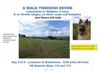

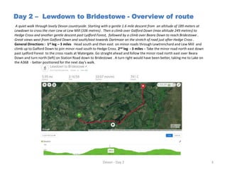


The document details a walking route from Lewdown to Bridestowe in Devon, covering 5.95 miles with an elevation gain of 225 metres. The walk involves minor roads and footpaths, highlighting challenges like a dog-hostile stile. It provides an overview of the route, directions, and personal observations during the hike.


