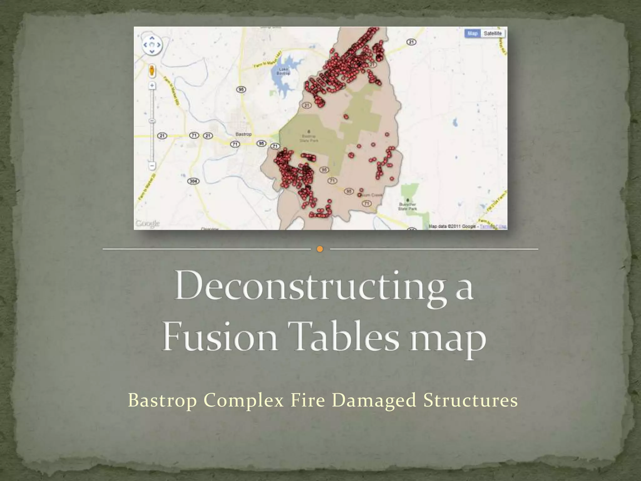
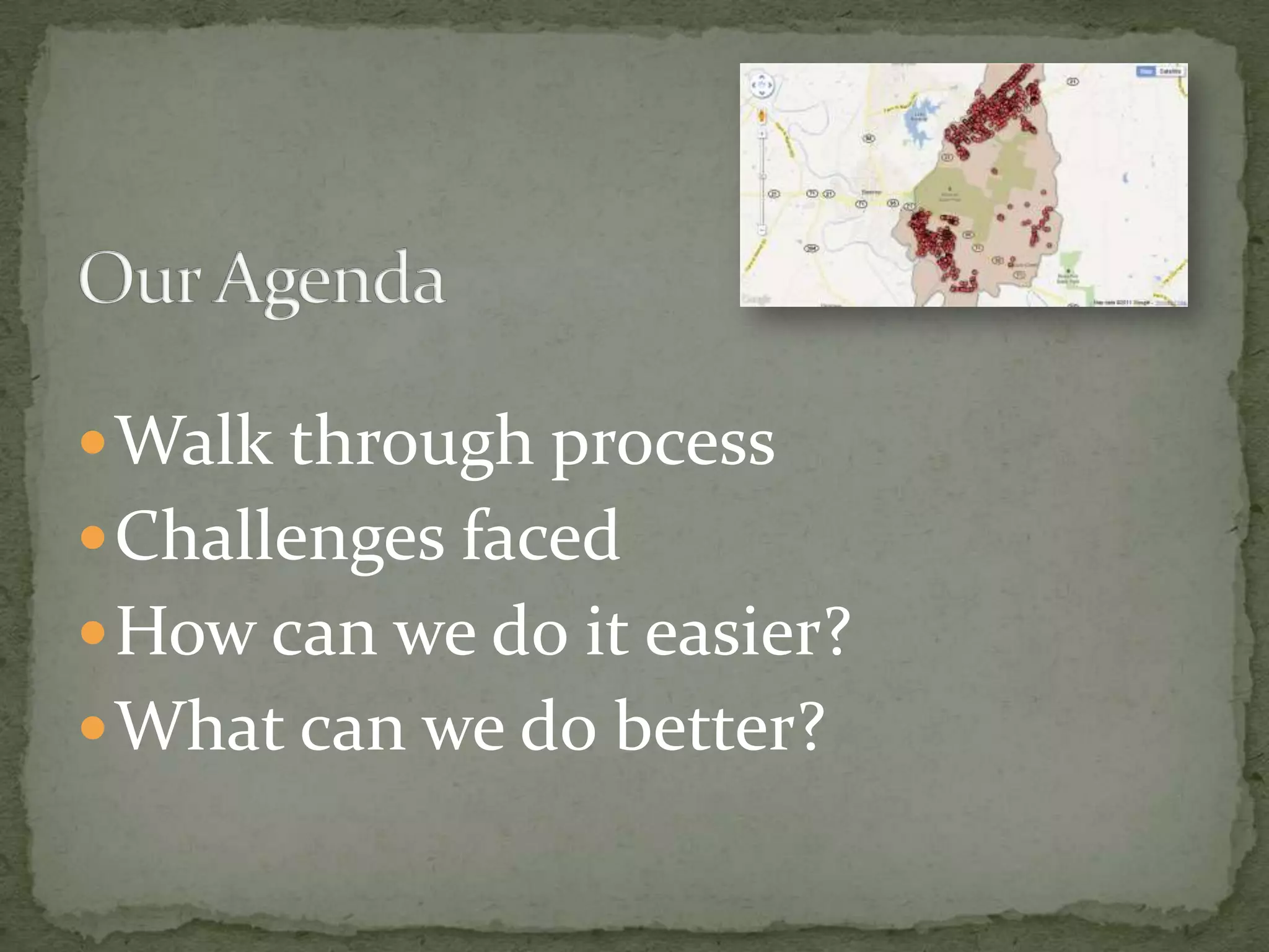
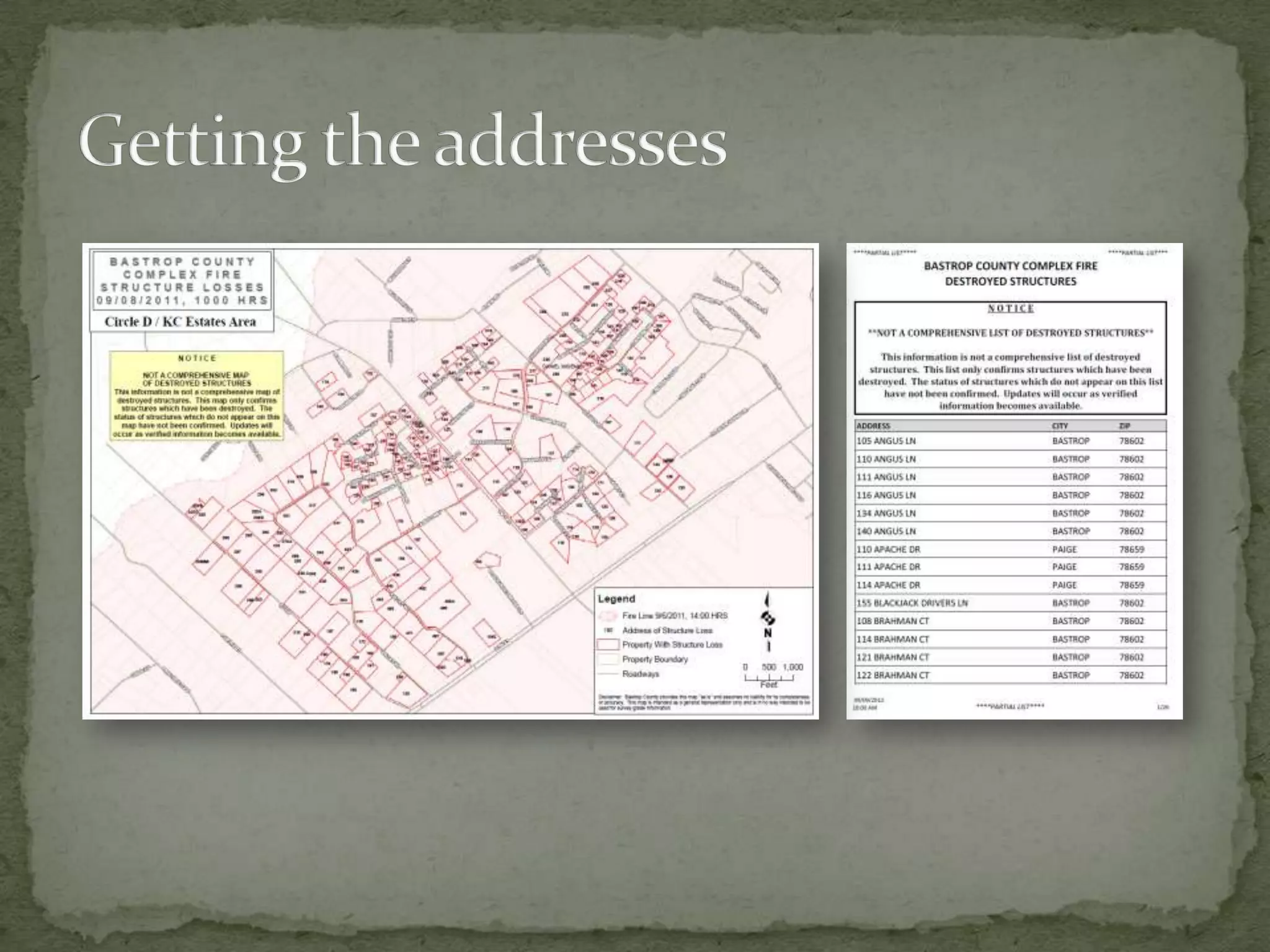
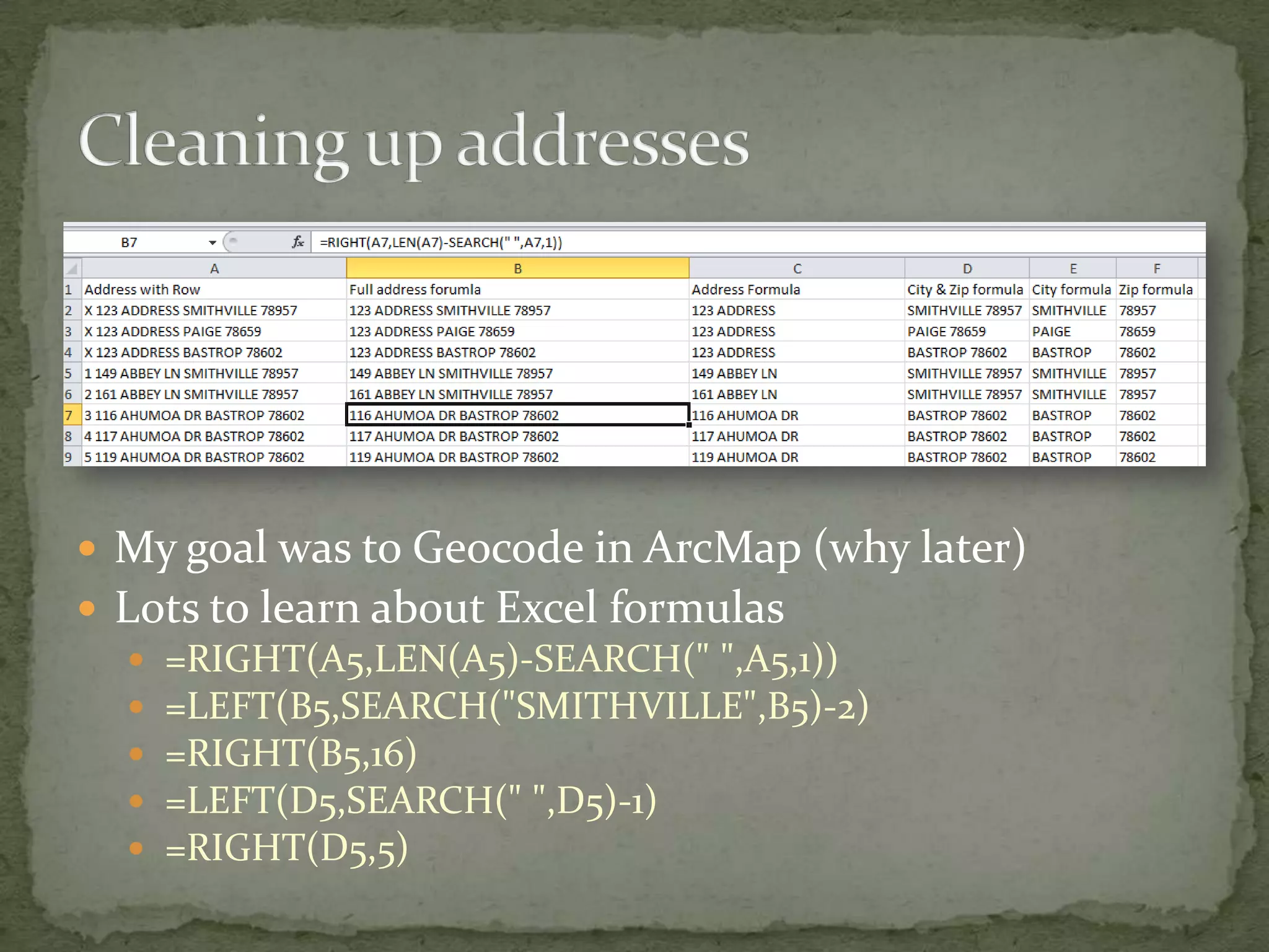
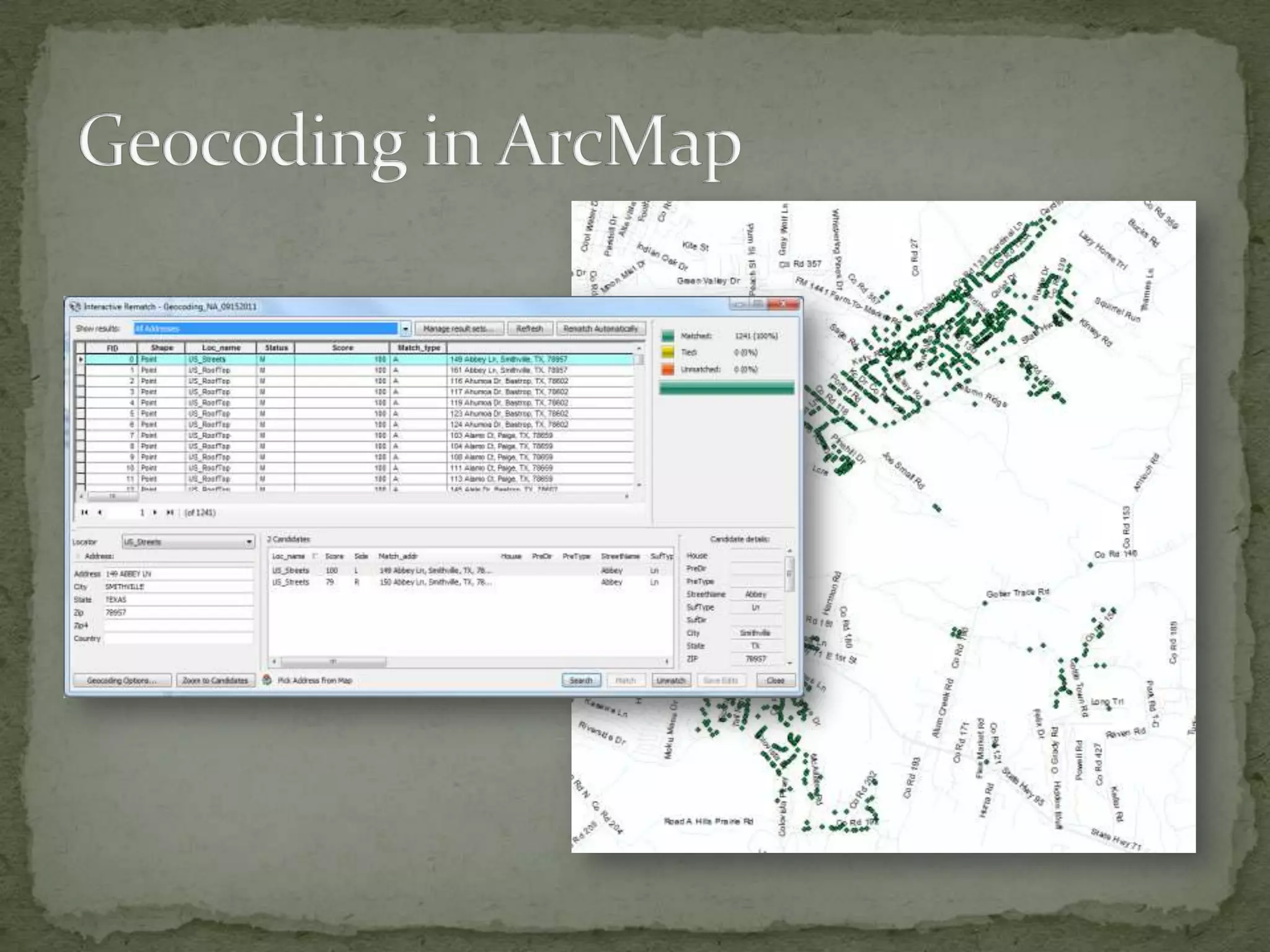
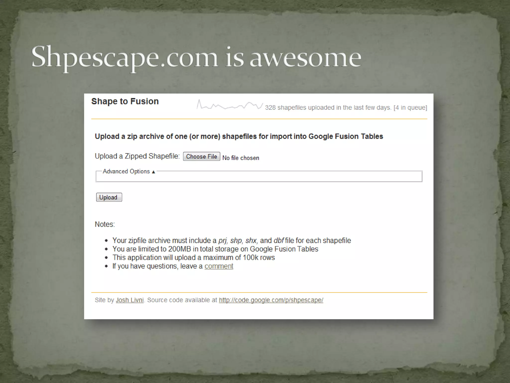
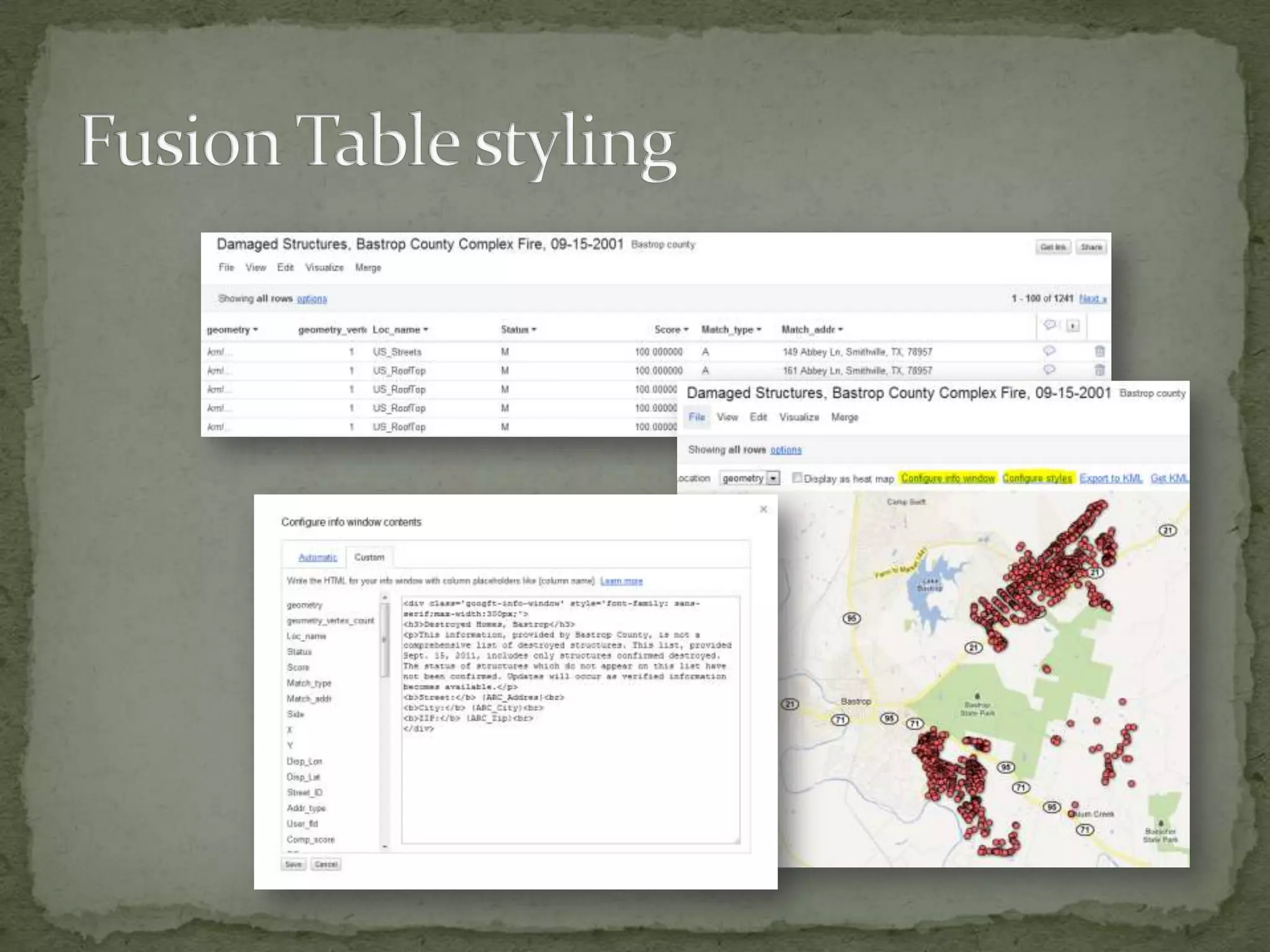
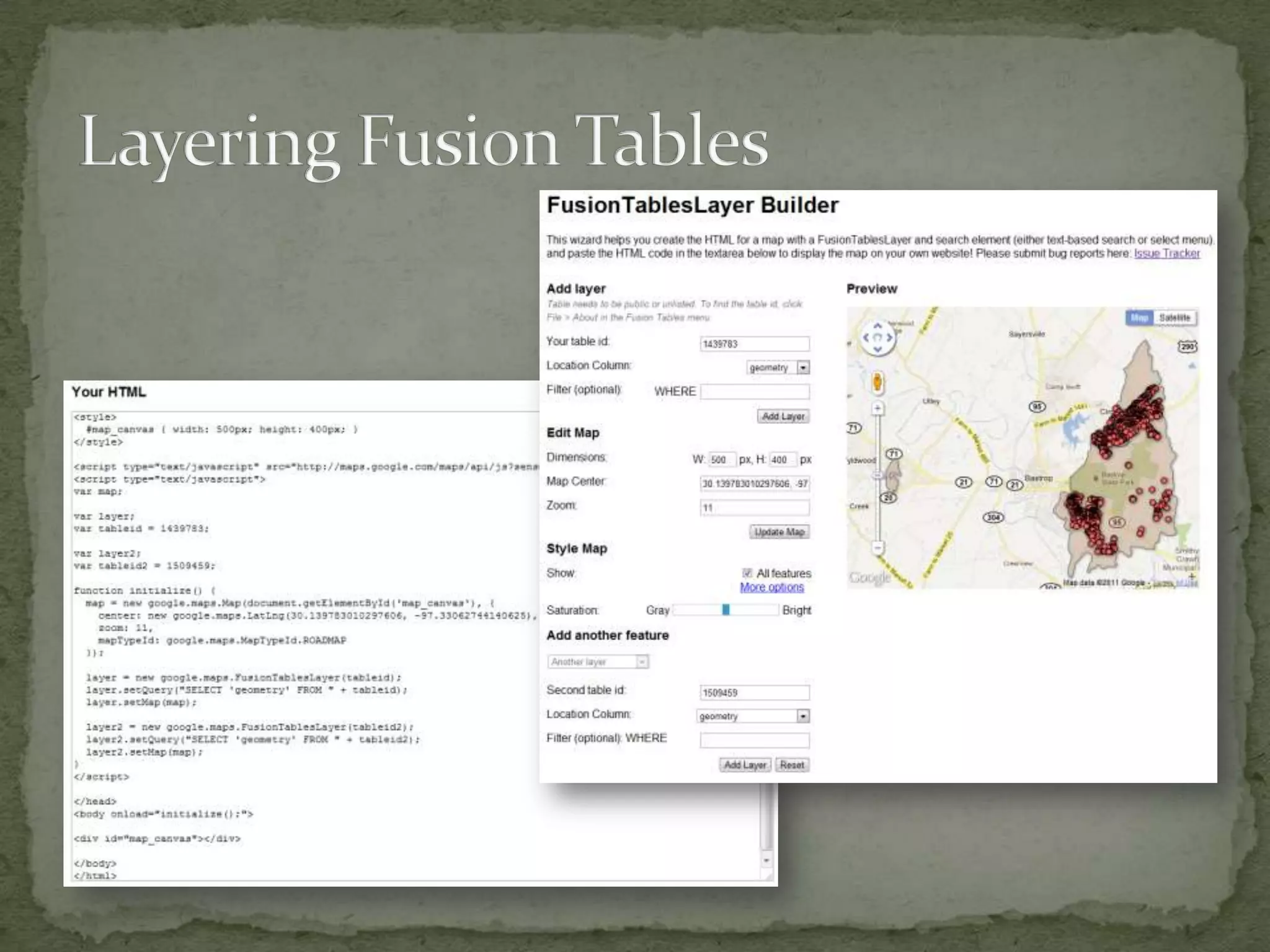
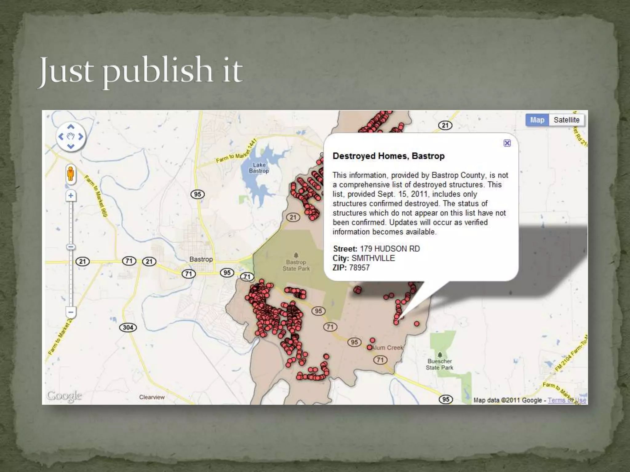
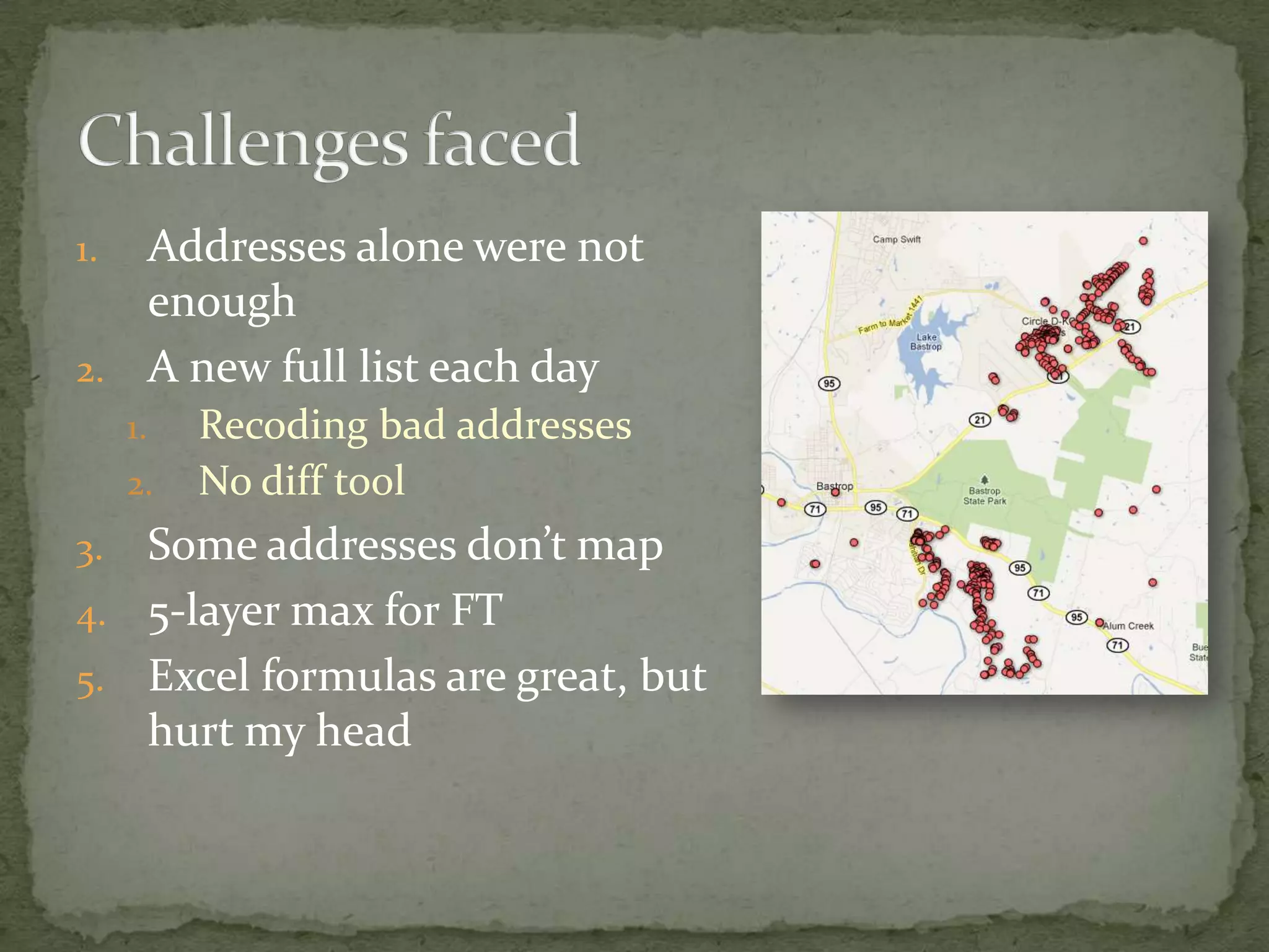
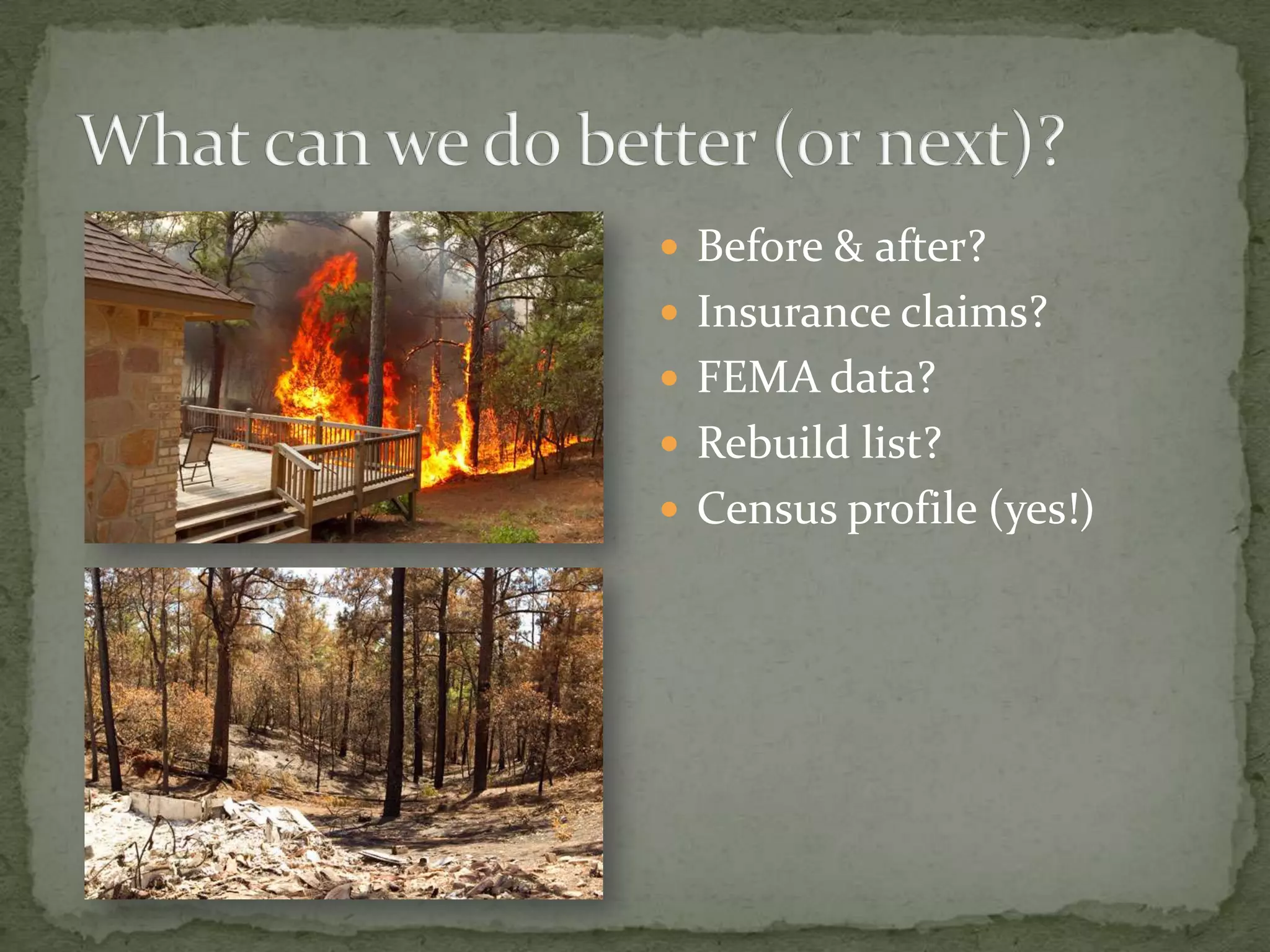
The document discusses the process of geocoding and managing addresses related to the Bastrop Complex fire damage using Fusion Tables and ArcMap. It highlights challenges faced, such as dealing with bad addresses and limitations in mapping, while also sharing technical resources and potential improvements for future efforts. Additionally, it emphasizes the use of Excel formulas and tools for better data management and presentation.