The document provides information on several online resources for locating information on protected species and habitats in Ireland:
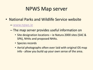
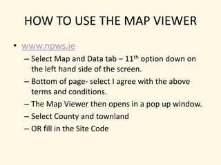
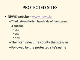
1) The NPWS Map Server on the National Parks and Wildlife Service website provides designations of protected sites like Natura 2000 sites, NHAs, and species records searchable by location.
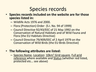
2) Species records on the NPWS site are for those protected under wildlife acts and EU directives. Records include species name, location, and conservation status.
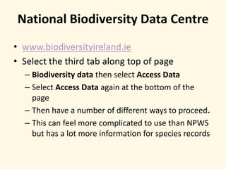
3) The National Biodiversity Data Centre website provides additional species records that can be more complicated to navigate but contains more information.
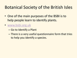
4) The Botanical Society of Britain and Ireland website helps identify plant species through an online questionnaire form.