This document discusses landslides and geological risks in São Paulo, Brazil. It provides background on the growth of informal settlements and occupation of unstable slopes. It then summarizes the following key points:
1) In 2010, the city of São Paulo mapped the geological risks across 407 shanty towns, identifying 1,179 risk sectors of varying criticality.
2) The mapping analyzed natural factors like soil, topography, and vegetation as well as occupational factors like infrastructure and home construction.
3) This data was incorporated into Habisp, an information system that stores geographic data on precarious settlements. This data supports decision making around housing and infrastructure projects.


![E. Coelho, L. Pascarelli - Using the information system and multi-criteria analysis in the geological risk management in São Paulo
For the Sehab, the intervention strategies were shanty towns, as in principle the program cannot
clear, since work began to draft the MHP: urbanization regularize precarious situations, the focus shifted to
and regularization of shanty towns and irregular land acting upon areas with the best indices (COELHO and
plots occupied by low-income populations. However PÉREZ MACHADO, 2009).
there existed the need to particularize that extensive
universe of settlements, to know where to truly begin Table 3: Precarious settlements in the city of São Paulo:
each of the actions: that is to say, which slums to Conceptualization. Own draft. Altered by the CITY HALL OF
urbanize in the coming years? In the coming month? THE MUNICIPALITY OF SÃO PAULO; ALLIANCE OF
CITIES, 2008, p. 50.
With resources available at present? Because of this it
Informal occupations, self-built on the fringe of
was necessary to have surveys and more concrete data,
urban legislation, predominantly disorderly and
besides using analytical instruments with the ability to Favelas
with a highly precarious infrastructure. Occupied by
offer more precise answers on where and how this low-income families that are social vulnerable.
housing precariousness manifests itself. The Irregular occupations where the division of land
geographical aspect of the problem benefitted from the presents a layout that allows for the identification
use of spatial analytical instruments of proven efficacy, of a plot in comparison to a route of access. These
Irregular
and it became necessary to build a model that could Settlements
are done mainly on land that is predominantly
guide decision making, based on the existing data. privately owned and acquired through some sort of
The path chosen was to set forth indicators that marketing and may encompass all of the family
could be evaluated individually and offer immediate income brackets.
Multi-family collective housing made up of one or
responses, such as: degree of urbanization of a
more buildings subdivided into several rooms.
settlement, the population’s vulnerability, geological Tenements
Sanitary facilities, circulation and precarious
conditions etc., and that could be combined into a infrastructure, and generally overcrowded.
single index. Through this procedure, the intention was
to attain a goal to set up a decision making model that The report “Characterization, Classification,
would take into account the large diversity of variables Eligibility and Prioritization System for Interventions in
that existed in the context, and mainly the multiple Precarious Settlements in the Municipality of São
objectives that had to be reached. Four stages were Paulo/ Brazil (2007)” highlights two principles set forth
created to define the priority to service a specific for the selection of indicators and indices that jointly
settlement through a specific housing program: make up the prioritization index: (1) protection of the
characterization, classification, eligibility and population’s life and the enhancement of livability
prioritization, each with its own objective, as can be conditions to acceptable levels; and (2) protection of the
observed in Table 2. most vulnerable population socially. The same report
points out that the first formulations carried out by the
Table 2: Basic objectives of the phases proposed by the
Characterization, Classification, Eligibility and Prioritization
Sehab divided the priorities stepwise into three levels:
System. Own draft. (COELHO and PÉREZ MACHADO, 2009) high, medium and low, an approach that proved to be
Characterization Classification Eligibility Priorization lacking, as the universe of settlements demands a much
Characterize Classify these Select the Prioritize the larger scale, which led to the creation of a
the areas into areas that activities in “prioritization index”, that attributes a score between 0
precarious groups that will undergo those areas and 1 to each settlement, being that 0 is the absence of
settlements will guide the intervention, that fulfil the precariousness and 1 maximum precariousness based on
in the type of already eligibility a multi-criteria analysis model.
municipality intervention establishing criteria
The prioritization index is a summarized index
of São Paulo that is needed at this phase
that aggregates other indices through a weighted
a cut-off for
the actions method. Habisp has a logical matrix where the weights
are configured to calculate each of the indices that are
part of the system, thus allowing the administrator to
The first and foremost stage in the system is that interact with and validate the process, and also to adapt
of characterization, as the results found in future stages it to any change in the situations that may have an
will be ramifications of the information collected impact on the decision making process. In Formula [1]:
herein. Subsequently the work of updating the data (COELHO and PÉREZ MACHADO, 2009) we present a
began, as well as the conceptual definition of the types mathematical formula to calculate the prioritization
of settlements that would be serviced by the housing index for the urbanization program and for the
policy, described in Table 3 below. precarious settlement regularization program.
The principle adopted was simple: according to The indices used arise from several sources or
the objective of the action, the SEHAB defined the focus origins. Those of Health and Social Vulnerability were
of prioritization. For urbanization projects, the focus of appropriated by the Sehab from other initiatives, which
the action was the most precarious areas in all of the means to say they were not produced exclusively for the
issues analyzed. However, for the regularization of prioritization interventions, but serve as a benchmark](https://image.slidesharecdn.com/usingtheinformationsystemandmulti-criteria-130112175029-phpapp02/75/Using-the-information-system-and-multi-criteria-4-2048.jpg)
![Proceedings of the Second World Landslide Forum – 3-7 October 2011, Rome
for sectoral policies in health and social assistance, at
the municipal sphere. The Paulista Social Vulnerability
Index (PSVI) bases itself on data from the 2000 IBGE
Census and the Health Index is based on data from the
municipal health system for 2006. The urbanization
index is calculated based on the data collected on the
field and inserted into Habisp, and updated whenever
the field team identifies changes in the situation
informed; this falls entirely under Sehab´s
responsibility.
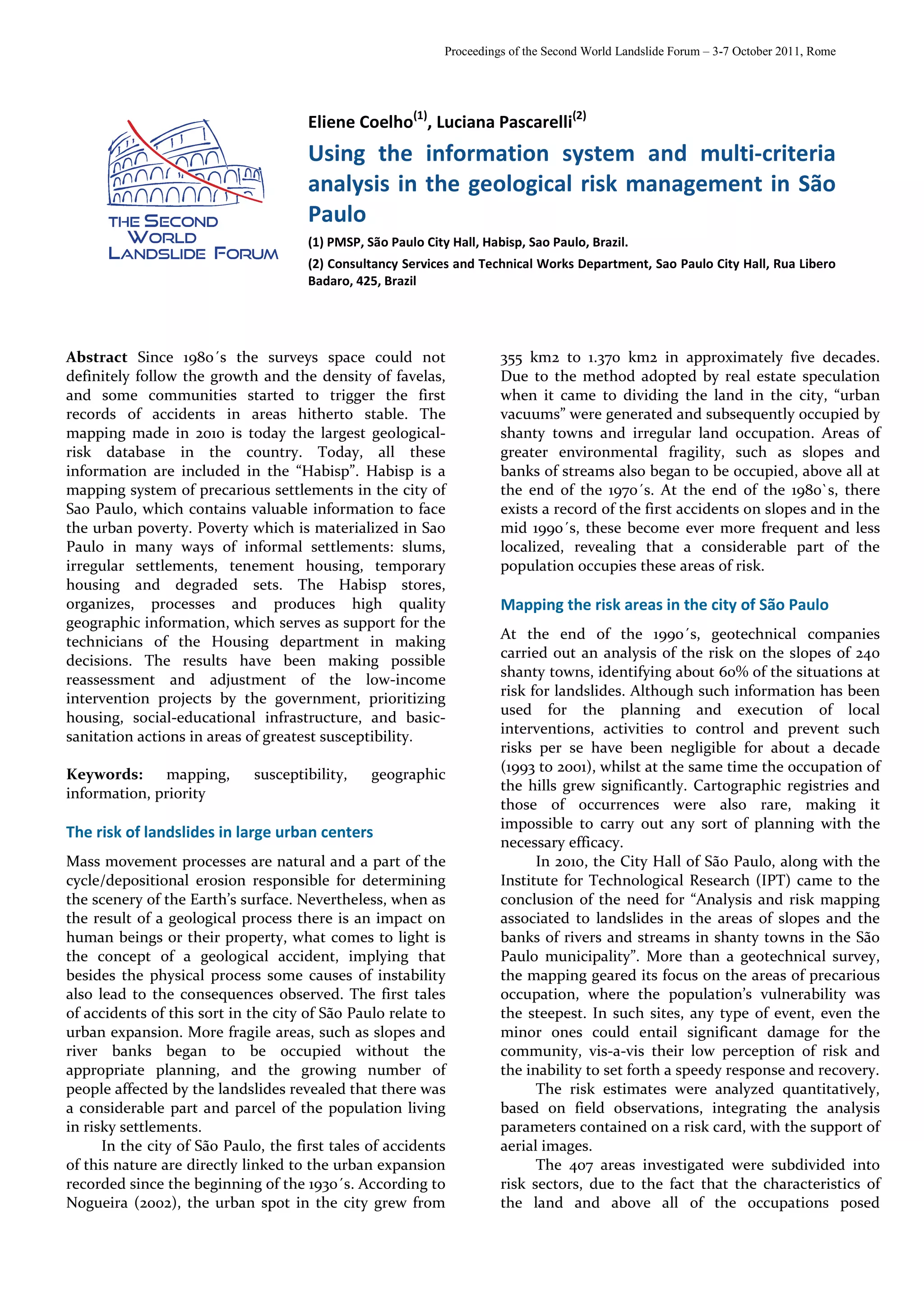
Figure 3: Example of the overlay of the layer with the risk
IP = [(Y – IF) x nf]+(IR x nr)+(IV x nv)+[(Y – IS) x ns] mapping (2010) and the shanty town layer. Santa Madalena
(nf + nr + nv + ns) Park Slum. Source: www.habisp.inf.br.
[1]
Being that: Being that:
IF = urban infrastructure nf = weight of the urban
index infrastructure index
IR = index for risks of bank nr = weight of the washout and
washouts and landslides landslide index
IV = social vulnerability index nv = weight of the social
IS = health index vulnerability index
ns = weight of the health index
Y = Priority Ordainment Factor. (of growing order = 1) (if
decreasing order = 0)
Figure 4: Example of the interface to update data on the risk
Treatment of the landslide risk index in the sectors (2010). Source: www.habisp.inf.br.
prioritization system
Considering that the geological risk is a
The risk of washouts and landslides is founded on determinant factor to grant that condition of livability
survey carried out by the Foundation for Support to the to an area, the use of Habisp as an aid in the new
University of São Paulo (FUSP), through a partnership mapping has offered not only the possibility to create a
with the Institute for Technological Research (IPT), consistent data base on the risks in the city , but has
under the title of “Mapping the risks associated to also allowed for the speedy transfer of that knowledge.
washouts and landslides in slope areas and washout of Nowadays, delimiting the areas surveyed and the main
banks in streams in the shanty towns of the attributes that were part of the evaluation is
municipality of São Paulo, 2003”, in which the Housing information that can be accessed by technicians, as well
Secretariat participated in indicating those areas that as managers of municipal administration. The location
should be subject to analysis by the IPT team, along of the risk sectors and the degree of probability that
with the technical people (geologists, engineers and there will be a landslide is also available to universities,
architects) from the sub districts. research centers, non-government organizations
The Risk Index for the precarious settlements (NGO´s) and other stakeholders of this issue, through
nevertheless was conceived in the context of the Habisp.
prioritization system, and is calculated for each
settlement by using overlay operations (Figures 3 and IR=(Prb x nrb)/100+(Prm x nrm)/100+(Pra x nra)/100+(Prma x nrma)/100
4). The Habisp identifies, for each settlement, the nrma
2
percentage of its area (m ) that lies within each risk area [2]
and then, through a calculation formula [2], which
attributes a weight to each degree of risk, presenting the Being that: Being that:
risk index for wash outs and landslides for the specific Prb = % low risk nrb = weight of low risk
Prm = % medium risk nrm = weight of medium risk
settlement. ra
Pra = % high risk n = weight of high risk
Prma = % very high risk nrma = weight of very high
risk
5](https://image.slidesharecdn.com/usingtheinformationsystemandmulti-criteria-130112175029-phpapp02/75/Using-the-information-system-and-multi-criteria-5-2048.jpg)
![E. Coelho, L. Pascarelli - Using the information system and multi-criteria analysis in the geological risk management in São Paulo
The result of using HABISP can already be seen
in the major of government programs in progress. The
main one is the Municipal Housing Plan which can be
retrofitted quickly and the interventions, could be
reordered according to the risk areas in order to include
the elimination of the most serious risks by 2016
(including also the provision of financial resources for
such actions). Although the elimination of risks only in
the year 2016 may seem an unpromising scenario, the
recognition of this critical situation is optimistic
because it drives the municipality in search of more
resources and appropriate technical solutions that allow
shortening the schedule.
References
BRASIL. Ministério das Cidades / Instituto de Pesquisas
Tecnológicas – IPT. Mapeamento de Riscos em Encostas e
Margem de Rios. Carvalho, C.S.; Macedo, E.S.; Ogura, A.T.
(org). Brasília: Ministério das Cidades; Instituto de Pesquisas
Tecnológicas – IPT, 2007.
COELHO, E. C. R. Sistema de Caracteização, Classificação
Elegibilidade e Priorização de Intervenções em Assentamentos
precários no município de São Paulo/ Brasil. Prefeitura do
Município de São Paulo. São Paulo, p. 181. 2007. Disponível
em:http://www.habisp.inf.br/theke/documentos/priorizacao/
Per_Review_oficial.PDF. Acesso em: 20 Jan. 2011.
COELHO, E. C. R.; PÉREZ MACHADO, R. P. O Sistema de Priorização
do Habisp: um estudo de caso. 12 Encontro de geógrafos da
América Latina. Montevidéo: [s.n.]. 2009. p. 15. Disponível em:
http://egal2009.easyplanners.info/area. Acesso em: 12 Mar.
2011.
DAVIS, M. Planeta Favela. Tradução de Beatriz Medina. São Paulo:
Boitempo, 2006. 272 p. ISBN 85-7559-087-I.
NOGUEIRA, F. R. Gerenciamento de Riscos Ambientais Associados
à Escorregamento: Contribuição às Políticas Municipais Para
Áreas de Ocupação Subnormal. Rio Claro, São Paulo, 2002, 269
p. Tese (Doutorado em Geociências) – UNESP.
IPT/SMSP. Análise e mapeamento de riscos associados a
escorregamentos em áreas de encostas e solapamentos de
margens de córregos em favelas do município de São Paulo.
Laboratório de Riscos Ambientais (LARA/Cetae/IPT) e
Assessoria Técnica de Obras e Serviços (ATOS/SMSP/PMSP),
2010
PREFEITURA DO MUNICÍPIO DE SÃO PAULO; CITIES ALLIANCE.
Habitação de interesse social em São Paulo: desafios e novos
instrumentos de gestão. São Paulo: Janeiro Projetos Urbanos,
2008. 96 p.
PREFEITURA DO MUNICÍPIO DE SÃO PAULO. Plano Municipal de
Habitação PMH 2009-2024: documento para debate público.
Disponível em: www.habisp.inf.br/doc. Acesso em: 06 Jun.
2011.
UNESP/FUSP/IPT. Mapeamento de risco associado a áreas de
encosta e margens de córregos nas favelas do Município de
São Paulo (2003/2004)](https://image.slidesharecdn.com/usingtheinformationsystemandmulti-criteria-130112175029-phpapp02/75/Using-the-information-system-and-multi-criteria-6-2048.jpg)


![Dartford creek representation[1]](https://cdn.slidesharecdn.com/ss_thumbnails/dartfordcreekrepresentation1-100701212407-phpapp02-thumbnail.jpg?width=640&height=640&fit=bounds)


