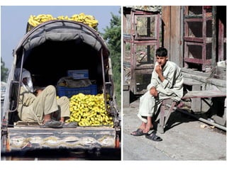
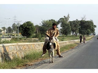
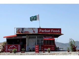
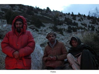
![A presentation by Nubia [email_address] http://nubiagroup-powerpoint-collection.blogspot.com/ http://groups.yahoo.com/group/Nubia_group_Powerpoint_Collection/](https://image.slidesharecdn.com/nubiagrouptriptopakistan-part2-110604033904-phpapp01/85/Trip-to-PAKISTAN-part-2-73-320.jpg)

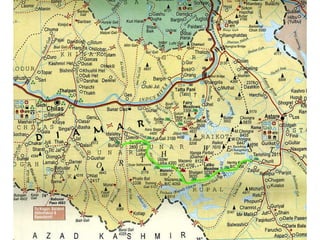
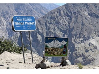
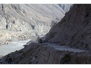
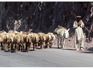
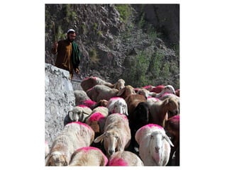
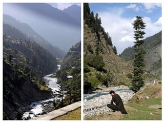
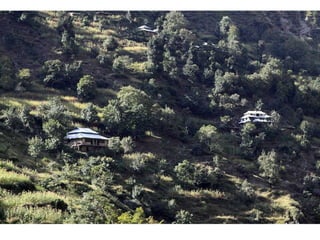
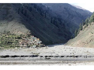
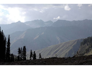
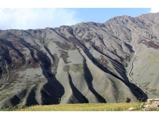
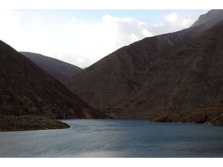
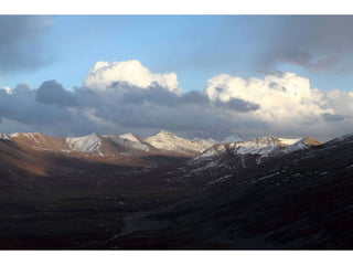
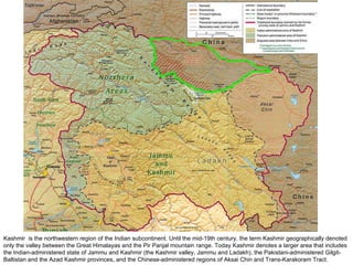
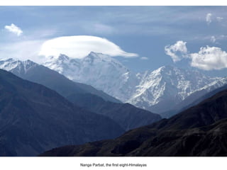
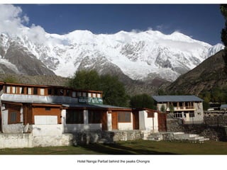
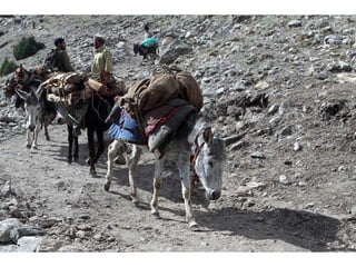
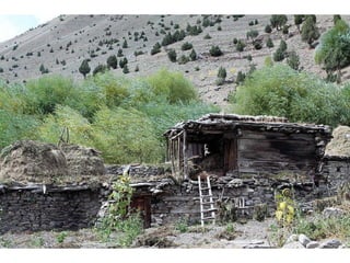
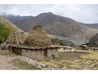
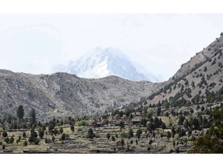
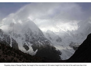
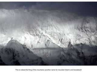
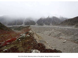
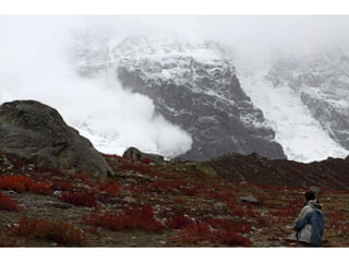
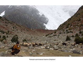
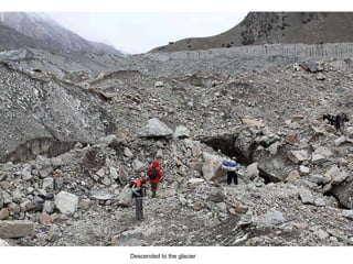
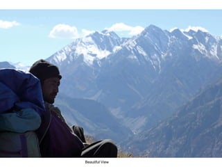
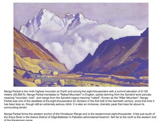
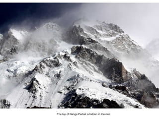
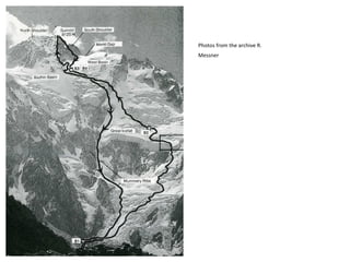
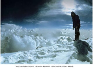
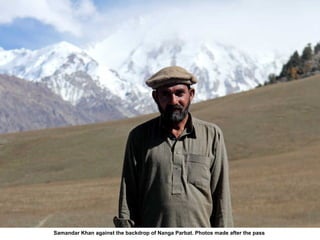
Kashmir is a region in the northwestern Indian subcontinent, encompassing areas administered by India, Pakistan, and China. Nanga Parbat, known as the 'naked mountain,' rises to 8,126 meters and is infamous for being one of the deadliest peaks for climbers. It acts as the western anchor of the Himalayan range and is located just south of the Indus River in Gilgit-Baltistan, Pakistan.


