The Caribbean Sea 1
•Download as PPTX, PDF•
0 likes•313 views

This document discusses bathymetric data collected in the Caribbean Sea between 17-15 degrees north latitude and 81-82 degrees west longitude that mapped the bottoms of four gullies. The data was corrected and converted to a format that can be displayed in 3D. The creator, Cplot4, has been working on this data for years and needs some help to finish linking and completing the data, especially within 100 nm and around a small group of rock seamounts 14 nm west of Rosland Bank.

Recommended
More Related Content
Featured
Featured (20)
The Caribbean Sea 1
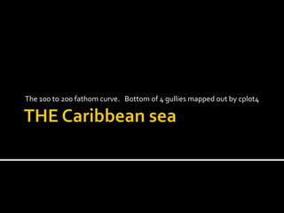
- 1. THE Caribbean sea The 100 to 200 fathom curve. Bottom of 4 gullies mapped out by cplot4
- 2. 17*00.000 to 15*00.000 and 81*00.000 to 82*00.000 more
- 3. Corrected Mark depths then linkedmark32 file for winplot 2 format
- 4. This Data can be changed in to 3D
- 5. Cplot4 already has years into this
- 6. Cplot4 needs to go back *link*
- 7. Cplot4 needs a little HELP to finish
- 8. 100 nm range
- 10. Small group of rock seamounts
- 11. Green +s odd and Xs even, soft bottom need to complete and link
- 12. Every where I go until it is finished
- 18. Lat. and Long. Depth type mark