Download to read offline
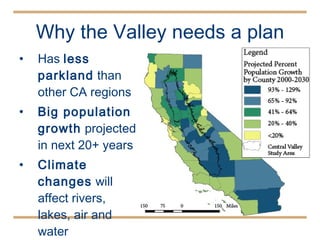

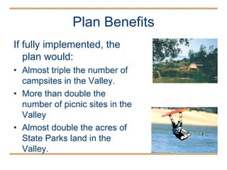
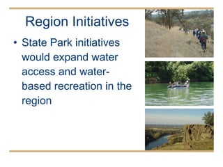
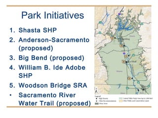
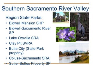
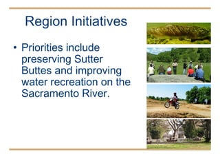
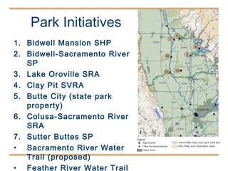

The document outlines a vision for enhancing recreational opportunities in California's Central Valley, which has limited parkland compared to its growing population. It proposes an implementation plan featuring the addition of new parks, improved access to rivers, and expanded camping and picnic sites, aiming to almost triple campsites and double picnic areas if fully executed. The plan seeks community input and includes strategies for resource protection while interpreting the valley's culture and history.


