Download to read offline
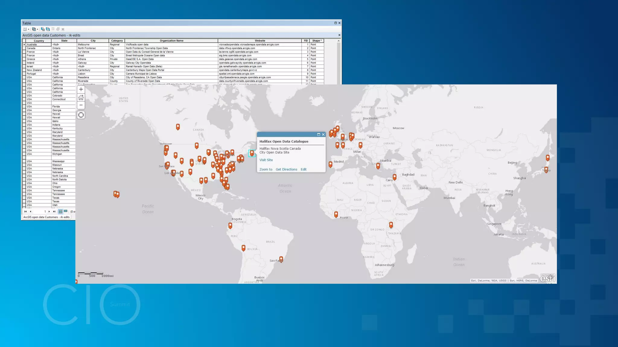
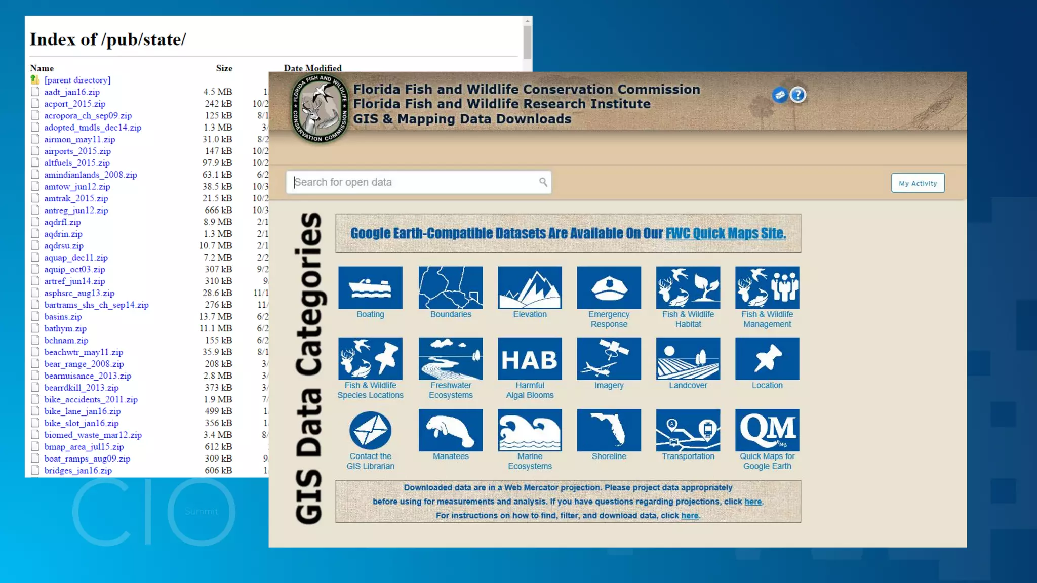


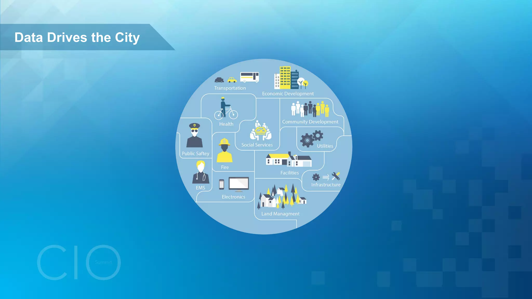
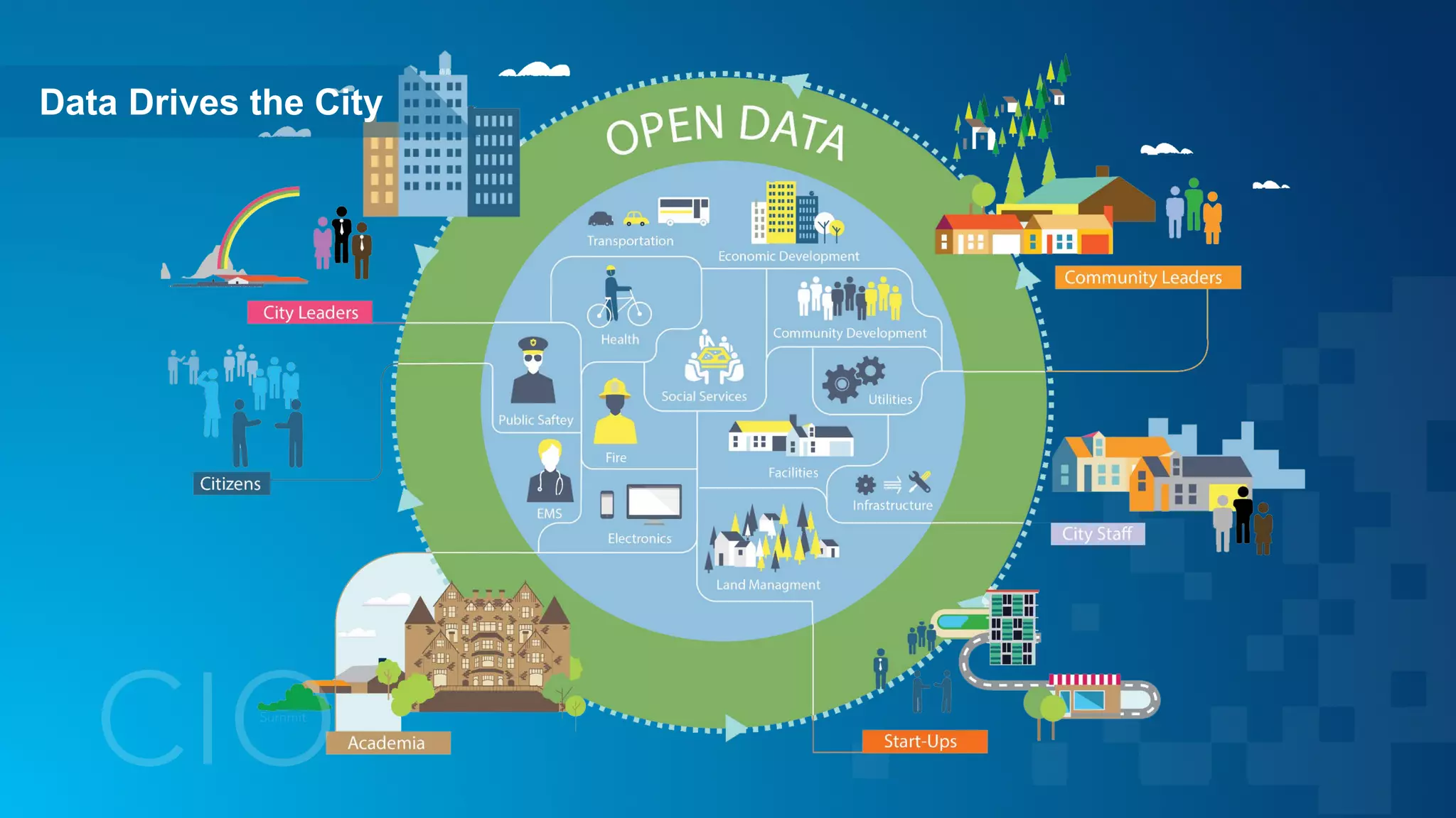

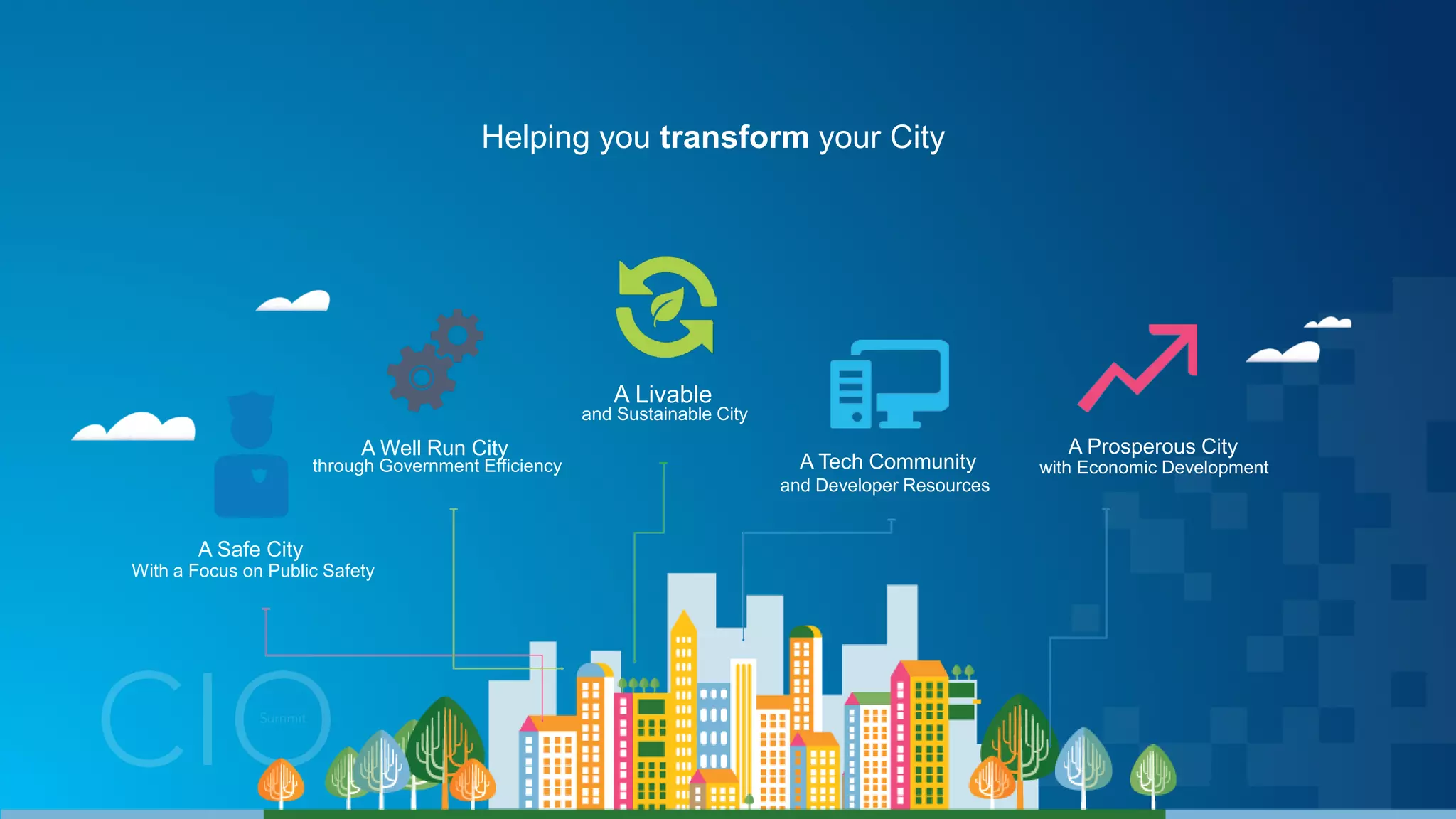
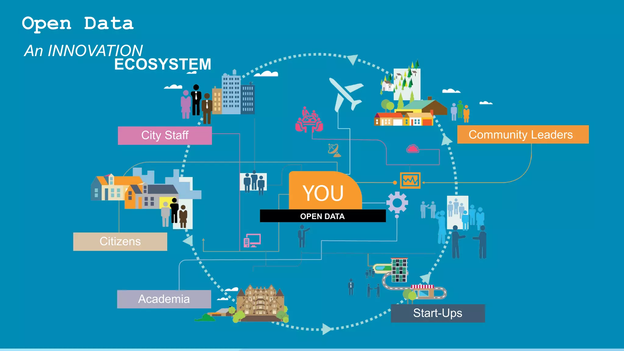
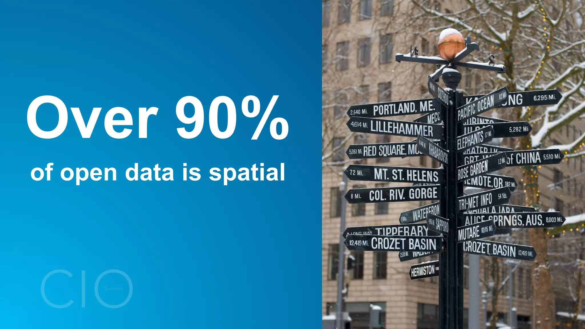
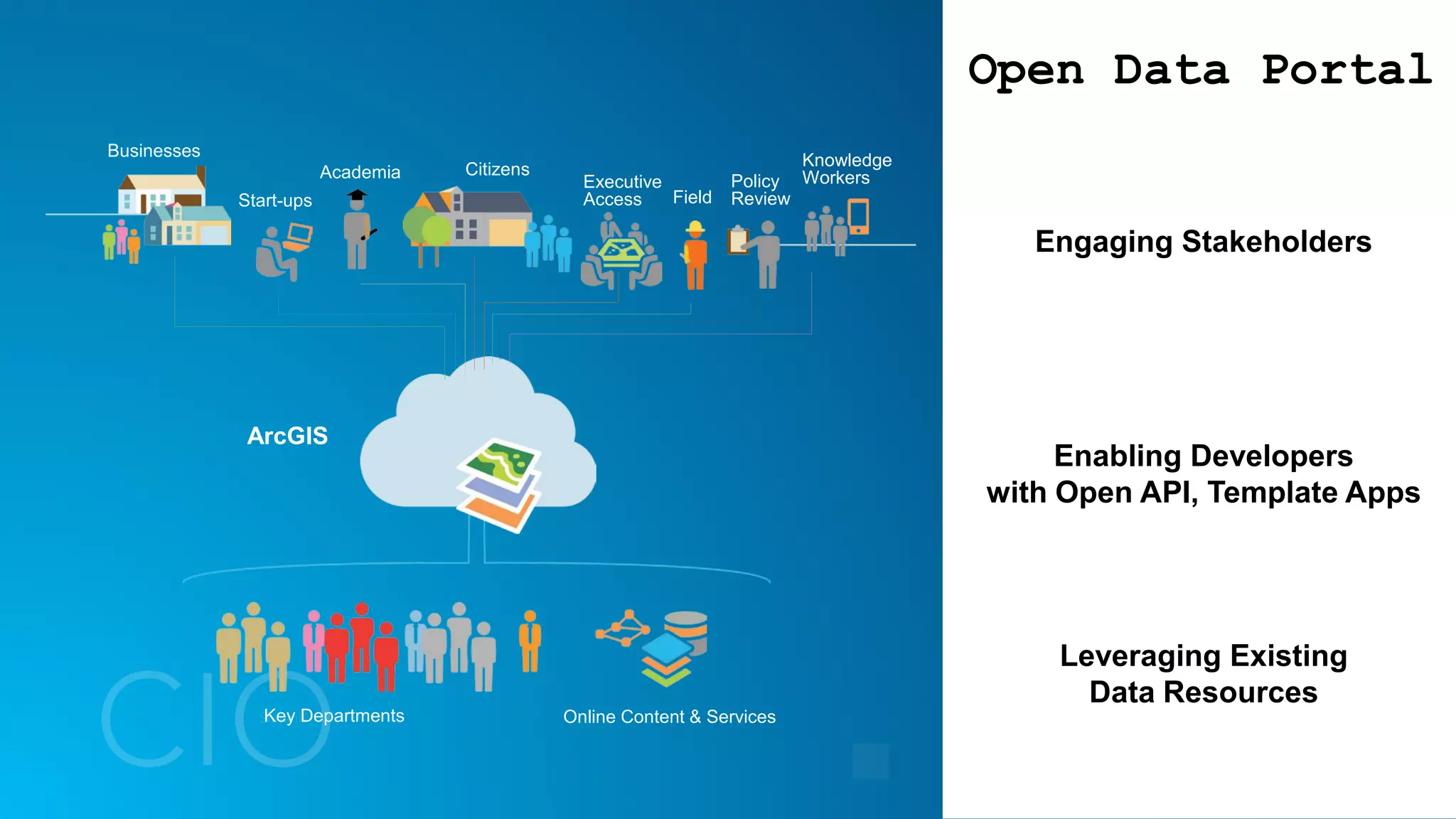
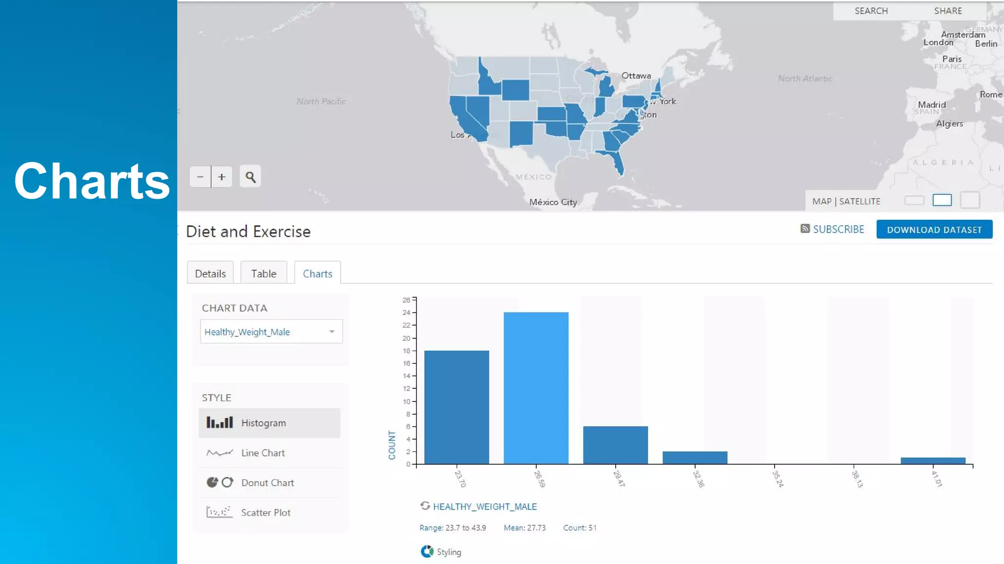

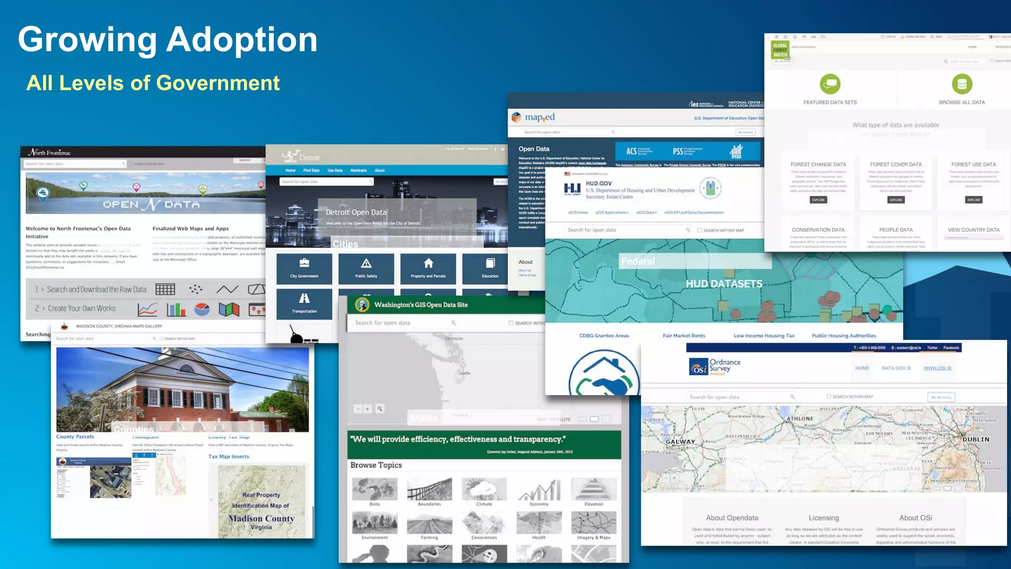


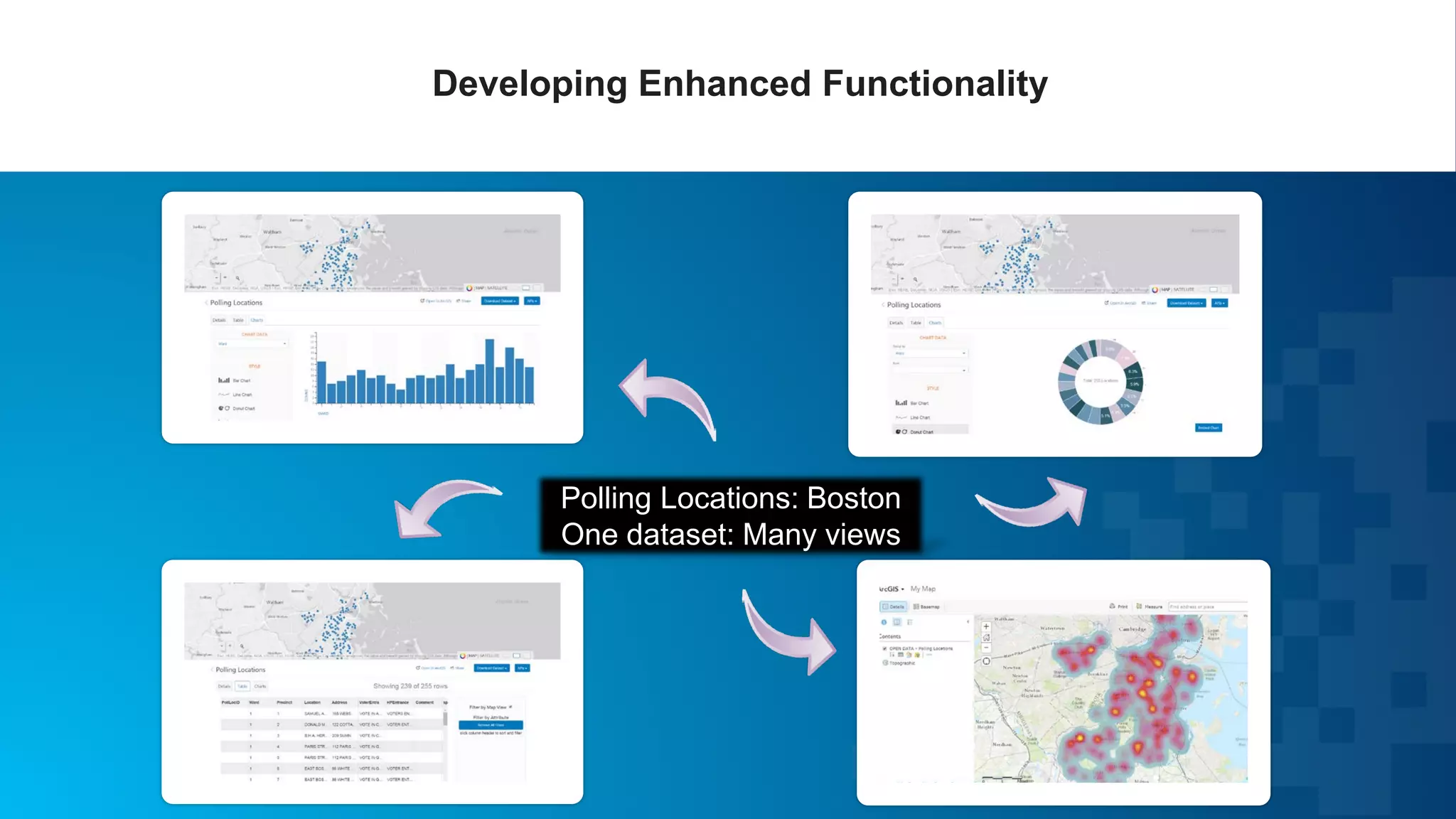
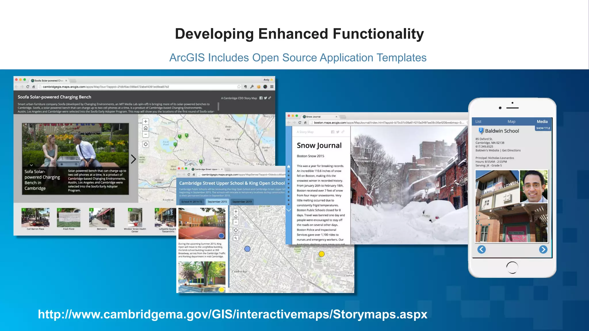
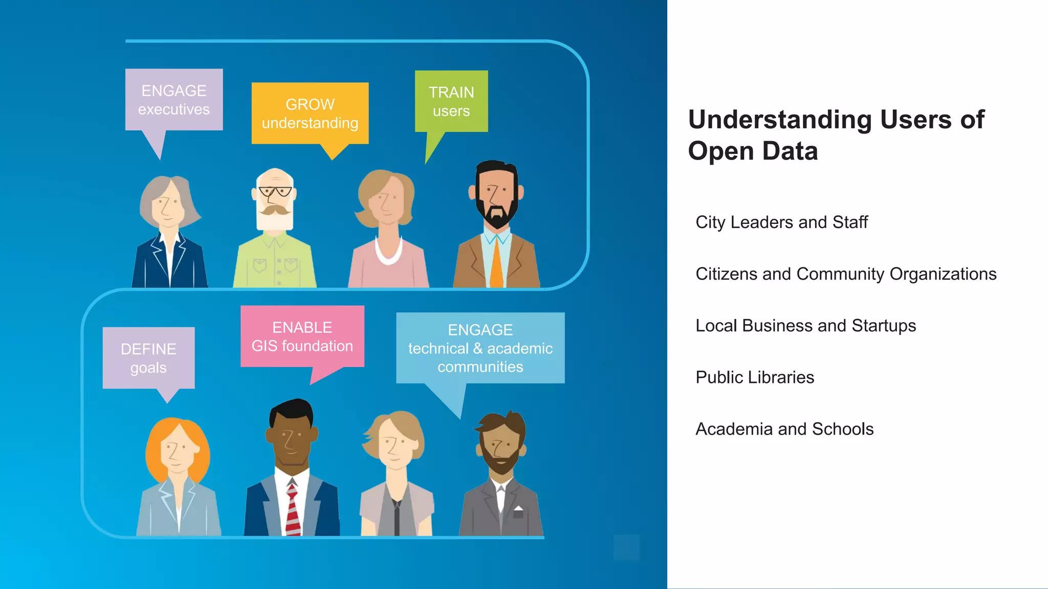

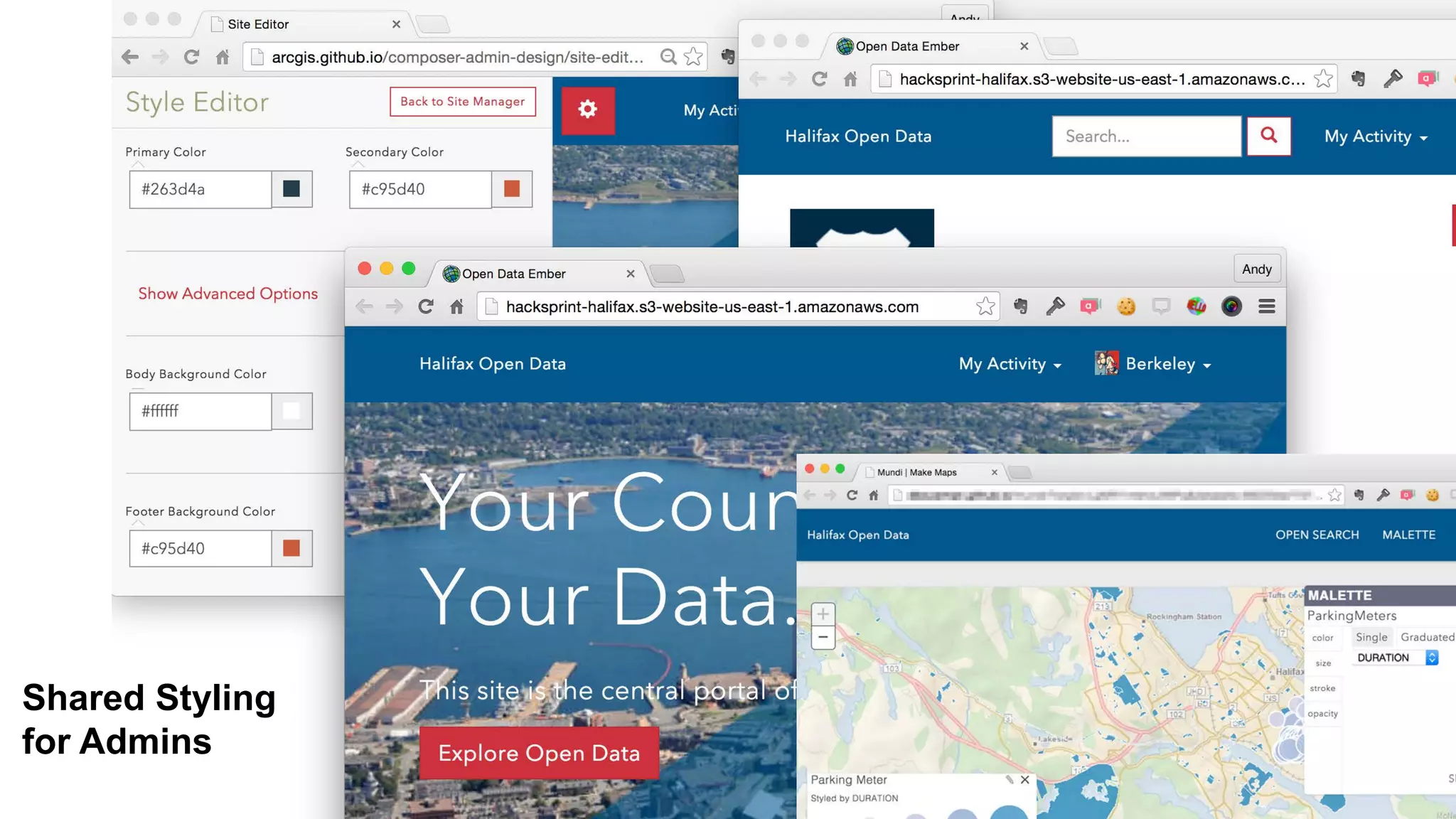
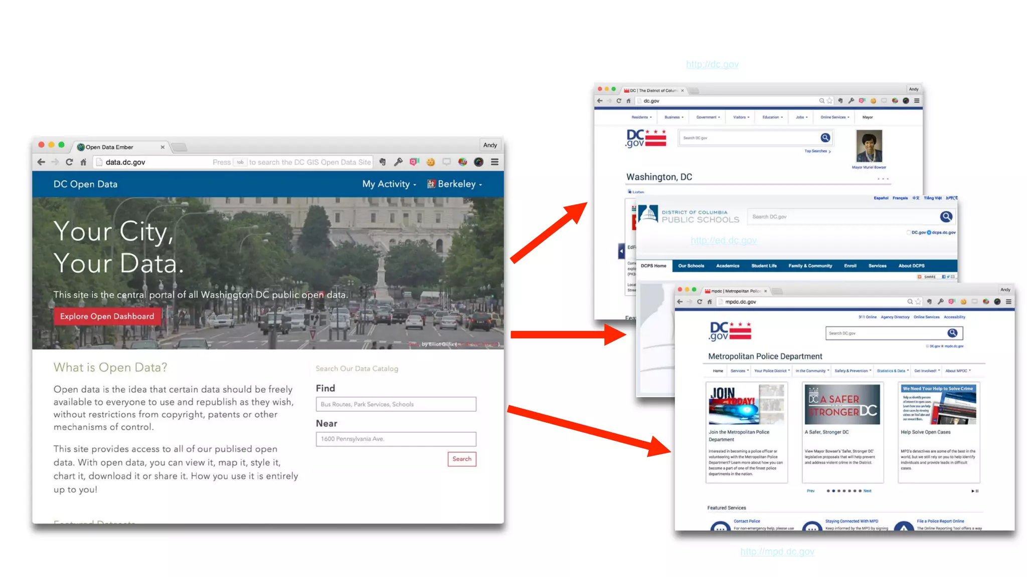
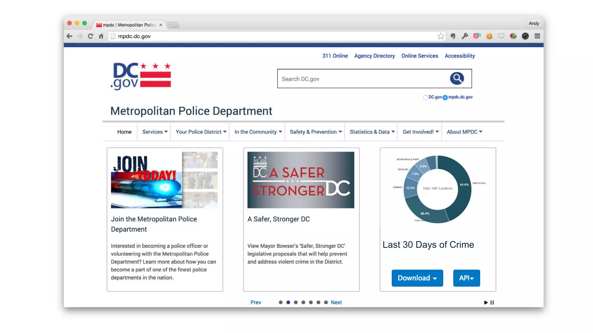
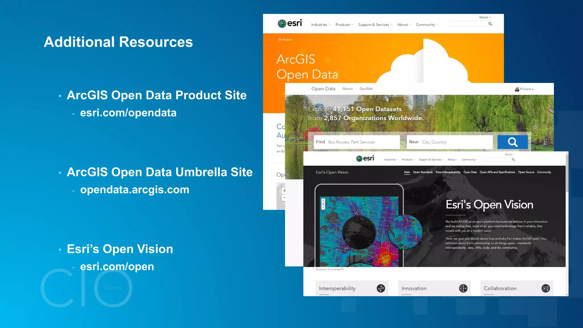


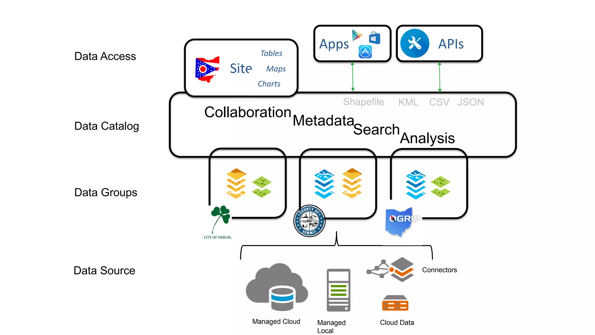

Open data refers to freely available data that can be used and reused without restrictions. Open data drives cities by helping to create livable and sustainable cities, safe cities with a focus on public safety, and prosperous cities with economic development. ArcGIS enables developers to work with open data through open APIs and template apps, engages stakeholders, and leverages existing data resources through open data portals. As open data adoption grows across all levels of government, additional functionality and engagement of users will help open data have more impact.


