Download to read offline


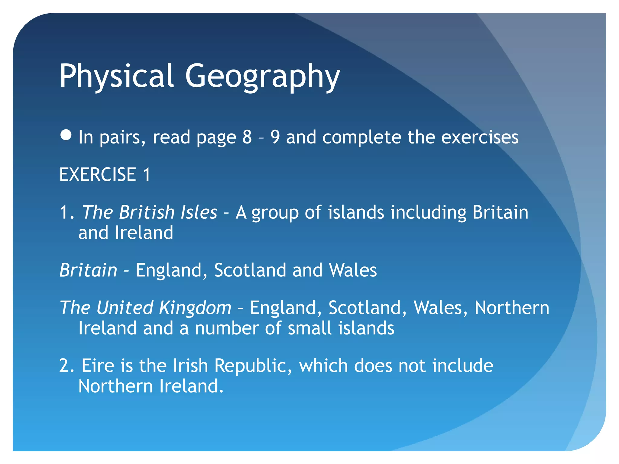
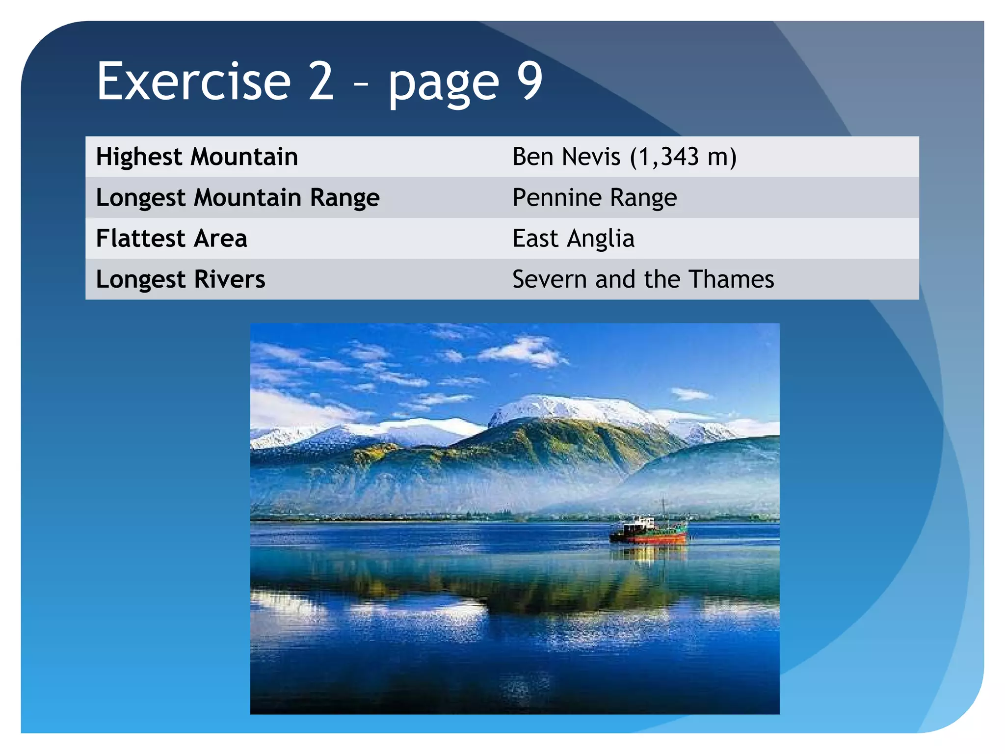
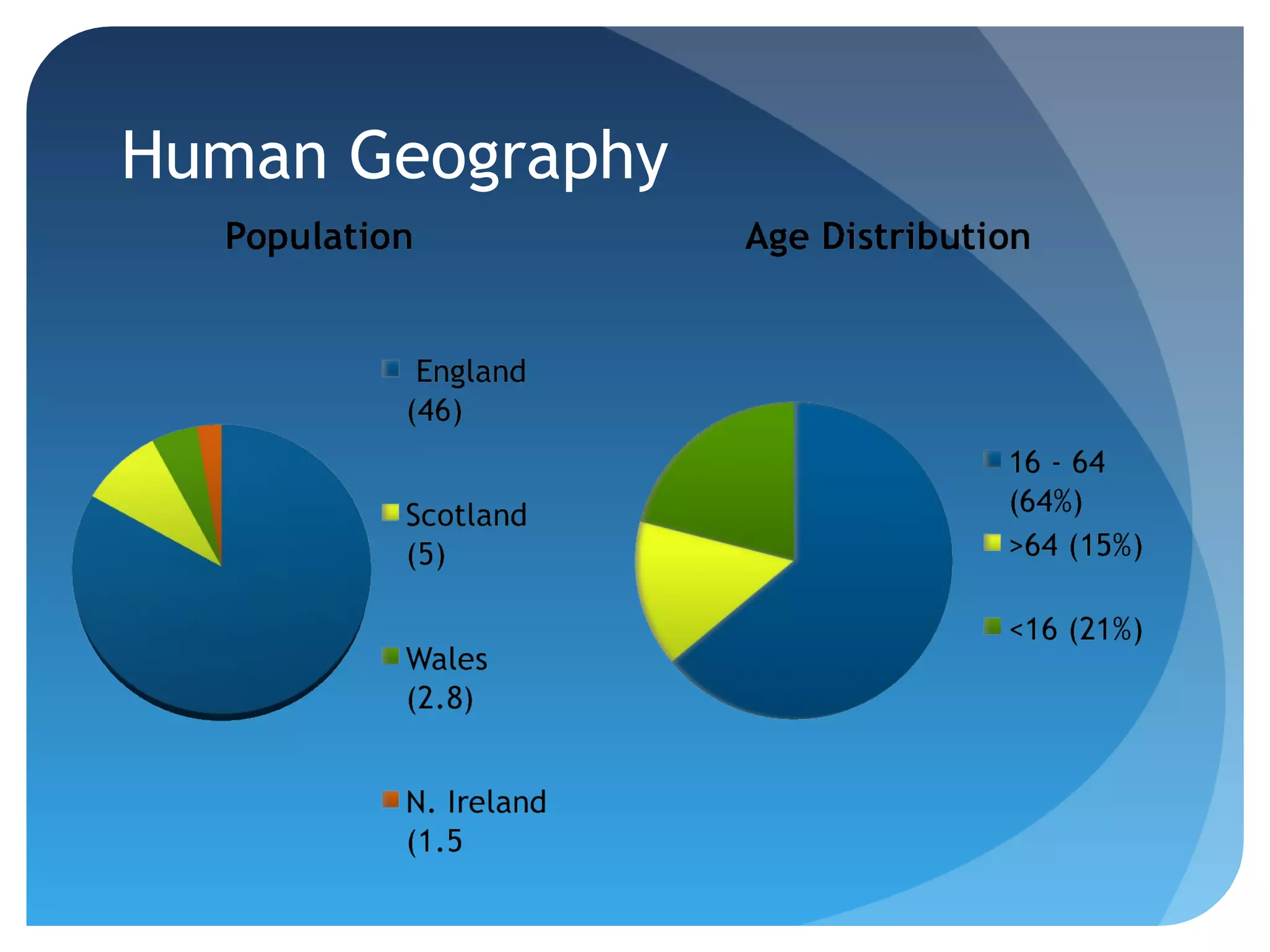
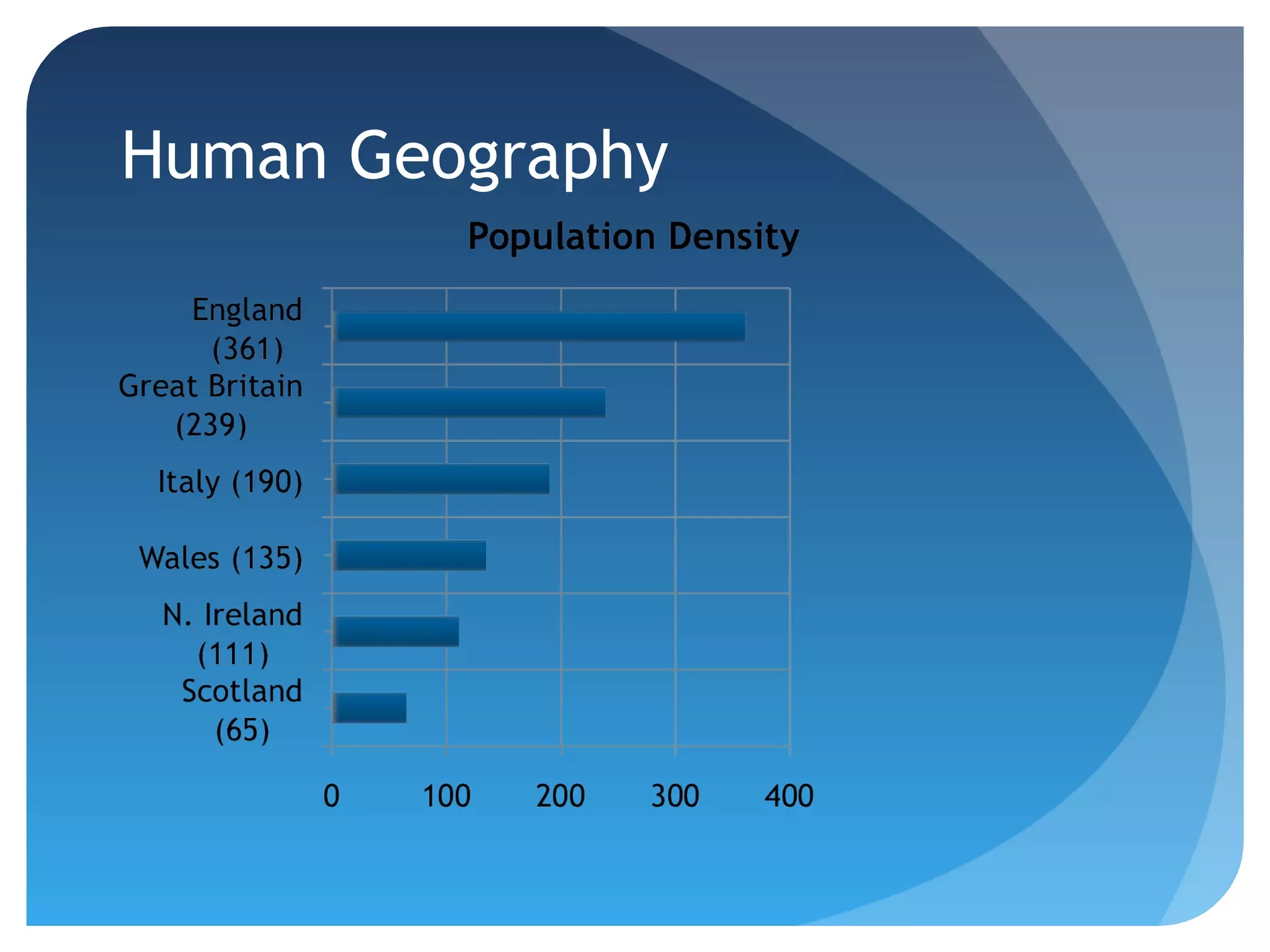


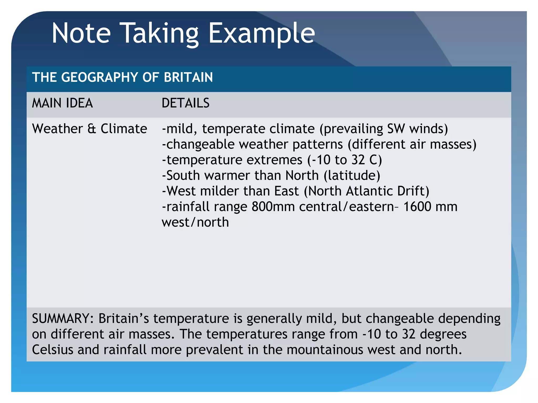


This document provides an overview of a class on British geography. It includes a review of reading strategies, a discussion of physical features like mountains and rivers, and human geographic topics such as urbanization, immigration trends, and new town development. The class involves exercises on these topics and teaches the Cornell note-taking method to help students organize information from the lecture.