Download as PDF, PPTX
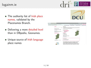


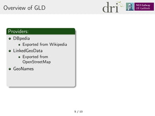
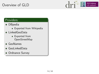
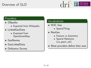
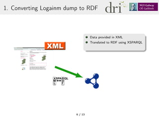

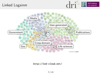
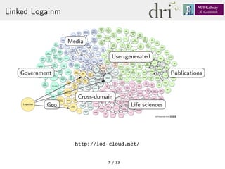
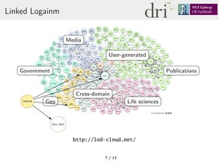


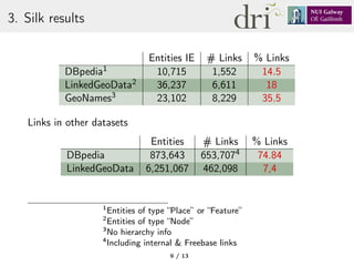
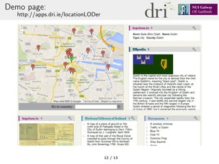

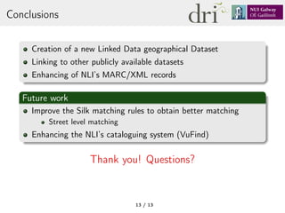

This document describes a project to enhance library metadata by linking it to linked data of Irish place names. The project involved converting an Irish place name database to RDF, linking it to datasets like DBpedia, GeoNames and LinkedGeoData using Silk, and integrating the linked data into the metadata of a map collection to allow searching by Irish place names. The results showed high accuracy in the links identified. Future work involves improving the linking and integrating it further into the library catalog system.


![5G Explained! A High Level Overview [Introduction]](https://cdn.slidesharecdn.com/ss_thumbnails/5gexplainedahighleveloverview-260119165306-cc137a3e-thumbnail.jpg?width=640&height=640&fit=bounds)


