This document summarizes Peter Guest's research using a miniature quad-rotor unmanned aerial system (MQRUAS) to take meteorological measurements over the Arctic Ocean. Some key points:
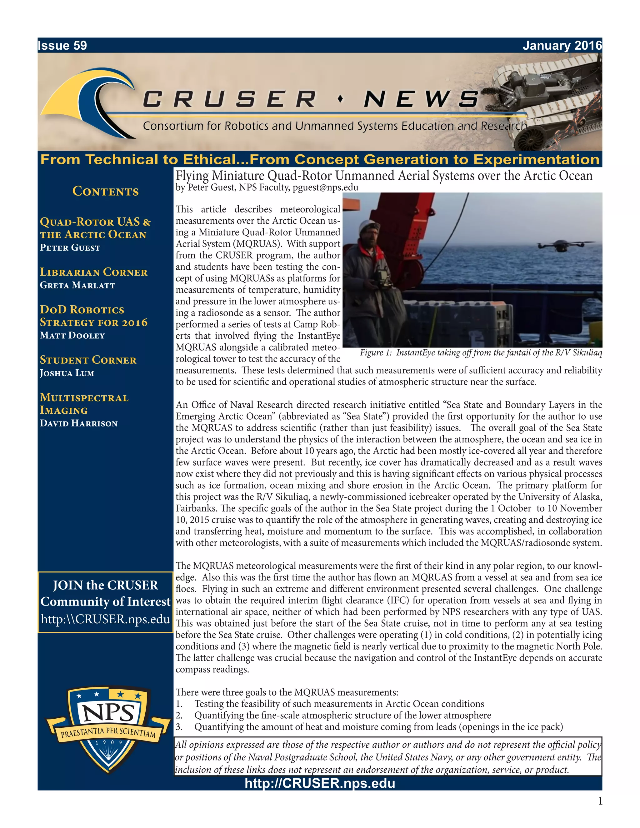
- Guest and students used an MQRUAS equipped with a radiosonde to measure temperature, humidity, and pressure in the lower atmosphere. Tests showed the measurements were sufficiently accurate for scientific study.
- During an Arctic research cruise, Guest conducted the first known MQRUAS flights in the polar region to study atmospheric conditions near sea ice and ocean surfaces. A total of 18 flights were performed from the research vessel and ice floes.
- While some issues with icing and compass errors occurred, the meteorological data


![1010 woolsey[1]](https://cdn.slidesharecdn.com/ss_thumbnails/qtowjnbcsb6xtwzj83vj-signature-3e49a9720aafd161ec5213fc5cb0fac76e0a38578f2089fb876ad1cc6de4bad4-poli-140825181335-phpapp01-thumbnail.jpg?width=640&height=640&fit=bounds)


